Skip to content


16 October 2026
Three of London's best-known office buildings are being kept and reworked rather than knocked down. On...
READ MORE 
15 October 2026
Spatial Dimensions publishes its survey prices. This guide sets out the published prices in one place,...
READ MORE 
12 October 2026
An eleven-point checklist for architects and project managers choosing a UK measured building and topographical...
READ MORE 
12 October 2026
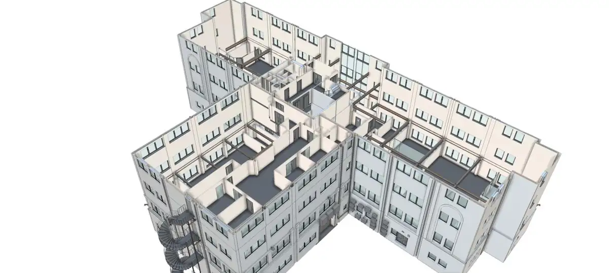
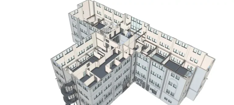
What a measured building survey captures, how Levels of Detail set accuracy differently for 2D drawings...
READ MORE 
07 October 2026
London is looking hard at the space above its existing buildings. A pattern book for roof extensions...
READ MORE 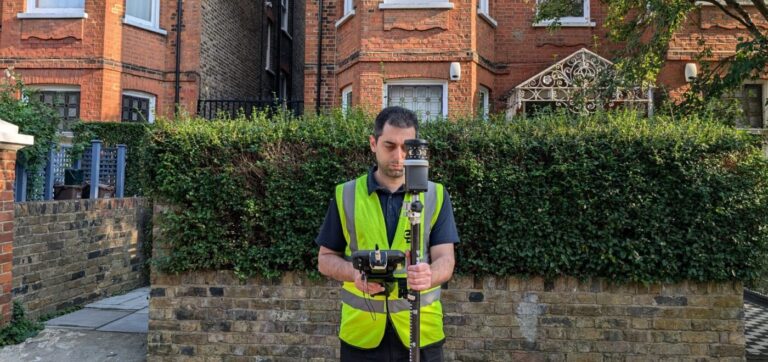
22 September 2026
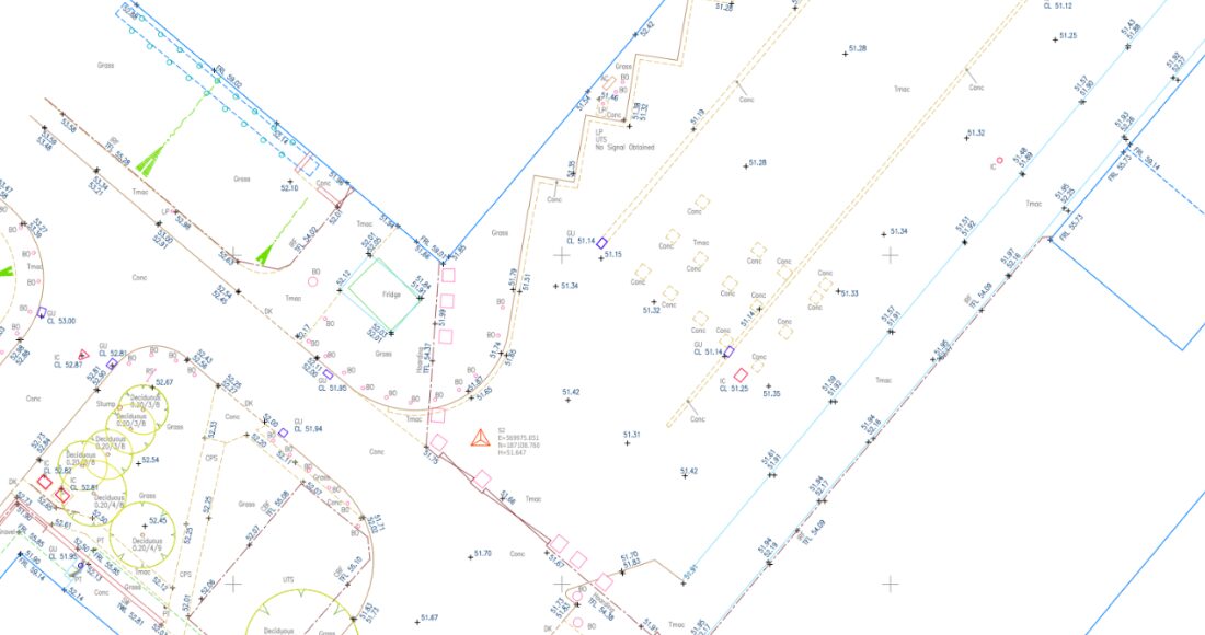
guide to topographical surveys for building design, from £595. Spatial Dimensions georeferences every...
READ MORE