Skip to content
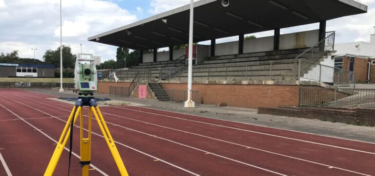
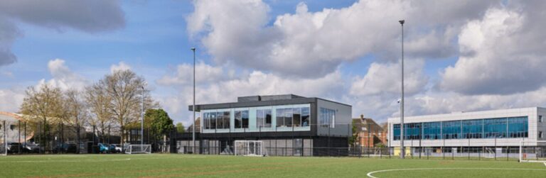
Spatial Dimensions surveys stadiums, leisure centres, swimming pools, training grounds and clubhouses. Work on record includes the All England Lawn Tennis Club at Wimbledon, Lincoln City FC’s LNER Stadium, Robinson Pools & Fitness for Bedford Borough Council, MERKY FC HQ and the Linford Christie Stadium.
We have surveyed sports and leisure facilities since 2012, working from offices in London, Sevenoaks and Nottingham, nationwide.
In short: Sports and leisure sites combine large open ground with complex buildings, and both need surveying differently. Spatial Dimensions delivers terrain modelling and drone photogrammetry for pitches, courses and grounds, laser scanning and measured building surveys for stands, pools and clubhouses, and area referencing for lettable and functional space. We work out of hours and around the fixture calendar as standard, mobilise in an average of 5.3 working days and quote a fixed price within 24 hours. Topographical surveys start at £595.
or call 01732 458799
What do sports and leisure facilities need surveying for?
- Ground and pitch levels. Drainage, falls, reinstatement and pitch reconstruction all depend on an accurate terrain model, not a spot level.
- Stands, stadia and clubhouses. Measured building surveys and laser scanning for refurbishment, expansion, accessibility works and safety certification records.
- Pools and wet leisure. Complex plant, high humidity, ceramic tolerances — spaces where a dense point cloud is worth far more than a tape survey.
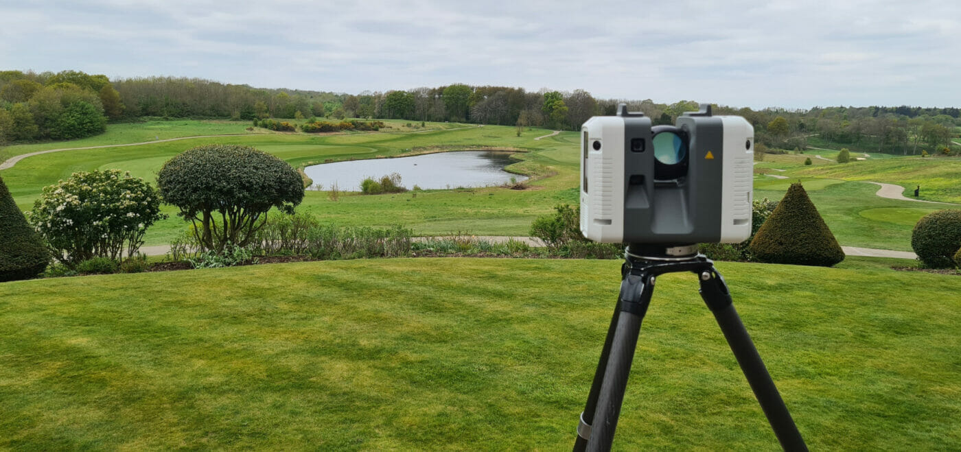
- Golf courses and large grounds. Terrain modelling across large areas, most efficiently captured from the air.
- Area verification. Lettable and functional floor areas for lease, valuation or operator agreements.
How do you survey a pitch, course or large ground?
By building a terrain model. Spatial Dimensions delivers topographical data at four levels, and on a sports site the third and fourth are usually the ones that matter:
Swipe the table sideways to see all the columns.
| Level | What it is | Use |
|---|---|---|
| 1 | 3D points | Basic clearance validation |
| 2 | 3D contours | Land fall and drainage gradients |
| 3 | Digital terrain model | Continuous surface for volumes, cut-and-fill and pitch design |
| 4 | Full 3D BIM topographical model | Terrain in Revit with roads, kerbs, fences, chambers and tree canopies as intelligent objects |
On large open sites — golf courses, training grounds, multi-pitch complexes — drone photogrammetry covers ground far faster than walking it, and is registered to ground control tied to Ordnance Survey benchmarks. Drone photographic surveys start from £550.
Can you survey around fixtures and opening hours?
Yes. Leisure centres open early and close late, pools run lessons and clubs all day, and stadiums have a fixture list that nobody moves for a survey. Spatial Dimensions offers out-of-hours working as standard, with the access window agreed in the quote.
In practice that means surveying grounds and pitches in the closed season or between fixtures, pool halls before opening or on maintenance shutdown days, and stands and concourses on non-match days. Our project management team plans the site work with the venue and briefs the surveyors before attending. Robinson Pool in Bedford takes hundreds of visitors a day and stayed open throughout its survey.
Which sports and leisure venues has Spatial Dimensions surveyed?
Swipe the table sideways to see all the columns.
| Venue | What we did | Working with |
|---|---|---|
| All England Lawn Tennis Club, Wimbledon | Precision engineering survey of curved steel frames; 3D model to ±3 mm for off-site roof fabrication | Willmott Dixon (contractors), Lyons O’Neill (engineers), Express Group (installation) |
| Lincoln City FC, LNER Stadium | Laser scanning, Revit 2026 models at LOD 3 for all four stands, topographical, drone Spatial Twin, EML and GPR utility survey | PolkeyCollins (architects) |
| Robinson Pools & Fitness, Bedford | Measured building, topographical, laser scanning, 3D models, underground utilities and CCTV drainage | Bedford Borough Council |
| MERKY FC HQ, Selhurst | Topographical survey in 2D CAD, laser scanning, measured building survey, 3D models | KSS Architects |
| Linford Christie Stadium, Wormwood Scrubs | Topographical survey — walls, boundaries, drainage, surface changes and key levels | Holmes Miller Architects |
Wimbledon: a roof built off site to ±3 mm
The All England Lawn Tennis Club’s Master Plan included a new facility with a curved steel structure and a timber-clad roof. The roof was being fabricated off site, so the dimensions of the curved steel frame had to be exact — a few millimetres of error and the roof would not fit.
Spatial Dimensions tied into the existing site control network and carried out a precision survey of the steelwork, including the underside of the steel flanges, accounting for any deflection greater than 3 mm. The work was controlled with a 1-second robotic total station and the highest resolution of laser scanning available to us, and produced a 3D model accurate to ±3 mm. Willmott Dixon and Lyons O’Neill finalised the design off site and Express Group installed it inside a tight programme.
Lincoln City: a survey that found £120,000 a year
At Lincoln City FC’s LNER Stadium, Spatial Dimensions laser scanned the Rilmac Stand and modelled all four stands in Revit 2026 at LOD 3. The model showed there was space for three additional rows of seating — potentially over £120,000 a year in ticket revenue the club did not know it had.
The package also included a topographical survey in 2D CAD, a full-site Spatial Twin point cloud built from drone data so stakeholders could review the site without visiting, and an underground utility survey combining EML, GPR and a desktop search to map power, drainage, water and telecoms before construction.
Project architect Daniel Collins said their responsiveness and their ability to deliver accurate data to tight deadlines “allowed us to explore design options confidently”.
Which surveys does a sports and leisure project need?
Swipe the table sideways to see all the columns.
| Survey | What it gives you | Typical sports and leisure use | From |
|---|---|---|---|
| Topographical survey | Levels, boundaries, terrain model, drainage | Pitches, courses, grounds, car parks, drainage design | £595 |
| Drone surveys | Aerial photogrammetry across large areas | Golf courses, training grounds, multi-pitch complexes, stadium roofs | £550 |
| Measured building survey | Floor plans, elevations, sections | Stands, clubhouses, leisure centres, changing facilities | £850 |
| Laser scanning survey | High-density point cloud, to the LOD tolerances below | Pool halls, plant rooms, structural steel in stands | £850 |
| Area referencing report | GIA, NIA and GEA to RICS and IPMS | Lettable space, concessions, operator agreements | £250 |
| 3D models | Revit or IFC model | Expansion and refurbishment design coordination | £500 |
| Underground utility survey | Buried services traced to PAS 128 | Floodlighting, irrigation, drainage, new stand foundations | £850 |
All prices are starting points. Every job is quoted as a fixed price against a written specification.
How accurate is the survey data?
Swipe the table sideways to see all the columns.
| Level of detail | Scale | Tolerance | Typical use |
|---|---|---|---|
| LOD 2 | 1:100 | ±20 mm | Feasibility, masterplanning, indicative layouts |
| LOD 3 | 1:50 | ±10 mm | Most building design and refurbishment |
| LOD 4 | 1:20 | ±5 mm | Pool tanks and tiling, prefabricated elements, historic pavilions |
Terrain is captured with calibrated robotic total stations and multi-frequency corrected GPS, with control tied to Ordnance Survey benchmarks, and georeferenced to OSGB36 and Ordnance Datum unless a local grid is requested.
What credentials does Spatial Dimensions hold?
- ISO 9001:2015 certification, with multi-stage checking on every deliverable
- Constructionline Gold and Once For All Health and Safety
- The Survey Association (TSA) corporate membership and CICES membership
- £10M professional indemnity, £10M public liability and £10M employer’s liability insurance
- DBS-checked site staff — relevant where facilities are used by children and young people — and CSCS cards for all field personnel
Spatial Dimensions is led by Managing Director Claire Fenwick, FCICES, who is President of The Survey Association.
How quickly can you get to site?
Spatial Dimensions returns a written quote within 24 hours of receiving the address and scope, and mobilises in an average of 5.3 working days from instruction. On sports sites the constraint is nearly always the calendar — tell us the closed season or the shutdown week and we will book it in.
How much does a sports and leisure survey cost?
Topographical surveys start at £595, drone surveys at £550, measured building surveys and laser scanning at £850, 3D models at £500 and area referencing at £250. On a sports site the price is driven by the area of ground to be covered, the number and complexity of the buildings, the level of detail, and how tightly the work has to fit the fixture or opening calendar.
Spatial Dimensions quotes a fixed price against a written specification, so the figure in the quote is the figure on the invoice. Out-of-hours access is priced into that figure at quotation stage rather than added afterwards. We also operate a price match guarantee.
Frequently asked questions
Can you survey a stadium or leisure centre while it is in use?
Yes. Out-of-hours working is standard for Spatial Dimensions — closed seasons, non-match days, before opening and on maintenance shutdown days — with the access window agreed in the quote.
Can you survey a golf course or large grounds?
Yes. Large open sites are usually captured by drone photogrammetry, registered to ground control tied to Ordnance Survey benchmarks, and delivered as a digital terrain model. Drone photographic surveys start from £550.
Which sports venues have you surveyed?
Spatial Dimensions has surveyed the All England Lawn Tennis Club at Wimbledon with Willmott Dixon and Lyons O’Neill, Lincoln City FC’s LNER Stadium with PolkeyCollins, Robinson Pools & Fitness for Bedford Borough Council, MERKY FC HQ with KSS Architects, and the Linford Christie Stadium with Holmes Miller Architects.
Can you produce pitch levels for drainage design?
Yes. A digital terrain model gives a continuous surface across the pitch or ground, from which falls, drainage gradients and cut-and-fill volumes are calculated.
Can you survey a swimming pool hall?
Yes. Spatial Dimensions surveyed Robinson Pools & Fitness in Bedford for Bedford Borough Council, supporting a £1.3 million redevelopment of the pool, changing facilities and reception. Pool halls are humid and congested, so laser scanning captures the tank, plant and structure in position in a single visit.
Are your surveyors DBS checked?
Yes. All Spatial Dimensions site staff are DBS checked and hold valid CSCS cards, which matters where facilities are used by children and young people.
Can you locate buried floodlighting and irrigation services?
Yes. Spatial Dimensions traces buried services to BSI PAS 128:2022 using electromagnetic location and ground penetrating radar, which is normally done before any excavation for foundations, floodlighting or drainage.
How much does a sports ground survey cost?
Topographical surveys start at £595 and drone surveys at £550. Spatial Dimensions quotes a fixed price against a written specification within 24 hours, backed by a price match guarantee.
Request a sports and leisure survey quote
Send us the site address and what the survey is for, and Spatial Dimensions will come back with a written, fixed-price quote against a defined specification within 24 hours.
Phone: 01732 458799
Offices: London · Sevenoaks · Nottingham · working nationwide