Skip to content
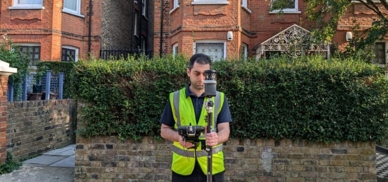
Spatial Dimensions surveys government, defence, health and local authority estates with security-cleared personnel. Since 2012 we have worked across NHS trusts, further and higher education, Ministry of Defence establishments and RAF stations, alongside the architects, cost consultants and tier-one contractors delivering public sector schemes.
We work from offices in London, Sevenoaks and Nottingham and survey public sector sites nationwide.
In short: Spatial Dimensions holds Constructionline Gold status under the UK Government-backed pre-qualification scheme. Our site staff are DBS checked and hold BPSS clearance for government estate work, we hold £10M professional indemnity, public liability and employer’s liability cover, and we are certified to ISO 9001:2015. We work out of hours as standard so public services are not interrupted, and we mobilise in an average of 5.3 working days from instruction.
or call 01732 458799
Why is security clearance the problem on public sector surveys?
Because it is usually the thing that delays the survey, not the survey itself. Operatives working in government facilities have to be suitably cleared before they set foot on site, and DBS and BPSS clearances take time to obtain. A project manager who instructs an uncleared firm loses weeks waiting for paperwork that should have been in place before the tender.
Spatial Dimensions has resourced for this deliberately. Our surveyors are DBS checked and BPSS cleared in advance rather than on demand, which means we can be on a government site inside the same mobilisation window as any other job — an average of 5.3 working days from instruction. You are not waiting on our paperwork.
What accreditations does Spatial Dimensions hold for public sector work?
- Constructionline Gold — UK Government-backed supply chain pre-qualification, meeting PAS 91 health and safety criteria
- Once For All Health and Safety accreditation.
- ISO 9001:2015 quality management certification, with multi-stage checking on every deliverable
- The Survey Association (TSA) corporate membership and CICES membership
- £10M professional indemnity, £10M public liability, £10M employer’s liability insurance
- DBS checks and BPSS clearance for site staff; CSCS cards for all field personnel
- Clean RIDDOR record, and site-specific RAMS issued where the site or principal contractor requires them
- BPSS clearance held in advance across the survey team, not obtained per job
Spatial Dimensions is led by Managing Director Claire Fenwick FCICES, who is President of The Survey Association.
Which public sector estates has Spatial Dimensions surveyed?
Defence:
Swipe the table sideways to see all the columns.
| Site | Work |
|---|---|
| Royal Military Academy Sandhurst | Measured building survey for the construction of the new band facility |
| Wellington Barracks | Measured internal layouts and building scans |
| Victoria Barracks, Windsor | High-accuracy measured structural profiling and elevation records |
| Manston redevelopment | Complete site geospatial profiling and geometric boundary mapping |
| RAF stations including Brize Norton, Northolt, Cosford and Leconfield | Topographical, underground utility and terrestrial LiDAR profiling |
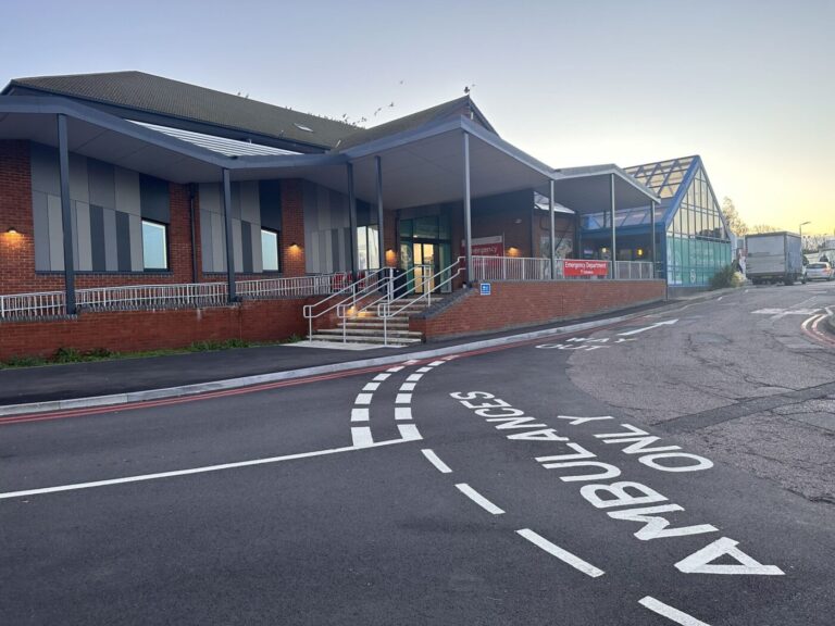
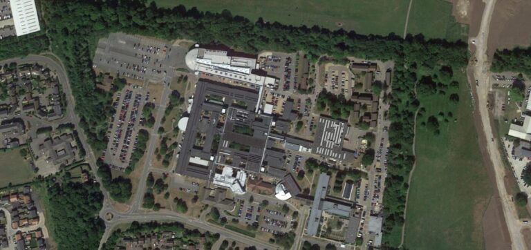
Health: Named NHS trusts include Guy’s and St Thomas’ NHS Foundation Trust (St Thomas’ Hospital), Mid and South Essex NHS Foundation Trust (Basildon University Hospital) and East Kent Hospitals University NHS Foundation Trust (QEQM Hospital), plus direct NHS instruction at Hinchingbrooke Hospital. Other sites include King’s College Hospital, The William Harvey Hospital, Southend University Hospital, Kent and Canterbury Hospital, Bracknell Healthspace, Amersham Health Centre and Thanet Mental Health Unit — working with ADP Architecture, BDP, Hazle McCormack Young, Gardiner & Theobald, WSP, Vinci and Bauvill. See our healthcare sector page.
Education: West London College, Canterbury College (East Kent College Group), Sheppey College, Lewisham College, Dover College, Wrotham School, Keyworth School and Bounds Green Primary School, alongside the University of Cambridge, Brunel University, the University of Westminster and the University of Kent. See our education sector page.
Local authorities and social housing:
Swipe the table sideways to see all the columns.
| Client | Work |
|---|---|
| Camden Council | Retrofit surveys across an estate of approximately 33,000 council properties, supporting a net zero by 2030 commitment |
| Portsmouth City Council | Retrofit surveys supporting the council’s city-wide net zero by 2030 target |
| Cambridge City Council | Deep retrofit pilot, surveyed with ECD Architects, designed so residents could stay in their homes |
| Bedford Borough Council | Robinson Pools & Fitness — a £1.3 million leisure centre redevelopment |
| London Borough of Barking and Dagenham | Building safety surveys of Crispe House and Earlsdown House, via Keegans |
| Swale Borough Council | Sheppey College, part of a £20 million revival project with UK Government funding |
| Kingston Council | Kingston’s Ancient Market Place regeneration |
Which surveys do public sector projects usually need?
Swipe the table sideways to see all the columns.
| Survey | What it gives you | Typical public sector use | From |
|---|---|---|---|
| Measured building survey | Floor plans, elevations, sections | Refurbishment, condition records, space rationalisation | £850 |
| Topographical survey | Site levels, boundaries, landscaping, drainage | Estate development, access and public realm changes | £595 |
| Underground utility survey | Buried services traced to PAS 128 Quality Levels A–D | Any excavation on an operational estate | £850 |
| Laser scanning survey | High-density point cloud, to the LOD tolerances below | Secure or restricted-access areas where one visit is all you get | £850 |
| 3D models | Revit or IFC model | BIM-mandated public schemes and estate records | £500 |
| Desktop utility search | Statutory records collated onto an OS base | Pre-mobilisation risk assessment; run before every remote instruction as standard | £450 |
All prices are starting points. Every job is quoted as a fixed price against a written specification.
Can you survey without interrupting public services?
Yes, and it is the normal condition of the work. A hospital cannot close a department, a school cannot stop teaching and a barracks cannot suspend operations for a survey. Spatial Dimensions offers out-of-hours working as standard — evenings, overnight, weekends and holiday periods — with the access window agreed and priced into the quote rather than negotiated on the day.
Where daytime access is the only option, our surveyors work escorted, area by area, using equipment that sets up in seconds. Laser scanning means one visit captures the building; later questions are answered from the point cloud rather than by requesting fresh site access, which on a secure estate is worth more than the time it saves.
How accurate is the survey data?
Spatial Dimensions works to defined levels of detail rather than a general claim of accuracy:
Swipe the table sideways to see all the columns.
| Level of detail | Scale | Tolerance |
|---|---|---|
| LOD 2 | 1:100 | ±20 mm |
| LOD 3 | 1:50 | ±10 mm |
| LOD 4 | 1:20 | ±5 mm |
Surveys follow RICS guidance on measured surveys of land, buildings and utilities, with control tied to Ordnance Survey benchmarks. Underground utility work is delivered under BSI PAS 128:2022 — where both electromagnetic location and ground penetrating radar are used together, depth accuracy is held to ±15%; a single technology widens that to ±40%. We state which was used.
How long does a public sector survey take?
Spatial Dimensions returns a written quote within 24 hours of receiving the site address and scope, and mobilises in an average of 5.3 working days from instruction. Because clearances are already in place, vetting does not extend that window.
How much does a public sector survey cost?
Measured building surveys start at £850, topographical surveys at £595, underground utility surveys at £850 and 3D models at £500. On public sector work the price is driven by area, level of detail, how much of the work must happen out of hours or under escort, and the number of separate buildings in scope.
Spatial Dimensions quotes a fixed price against a written specification, so the figure in the quote is the figure on the invoice. Out-of-hours access is priced into that figure at quotation stage rather than added afterwards. We also operate a price match guarantee. Quotes are set out in a form suitable for procurement and framework submission.
or call 01732 458799
Frequently asked questions
Are your surveyors security cleared?
Yes. All Spatial Dimensions site staff are DBS checked and BPSS clearance is held in advance across the survey team rather than obtained per job, so it does not delay mobilisation. All field personnel hold valid CSCS cards.
Are you Constructionline registered?
Yes. Spatial Dimensions holds Gold Member status in the UK Government-backed Constructionline Gold pre-qualification scheme, and holds Once For All Health and Safety Accreditation.
Have you worked on defence sites?
Yes. Spatial Dimensions has surveyed the Royal Military Academy Sandhurst, Wellington Barracks, Victoria Barracks Windsor, the Manston redevelopment and RAF stations including Brize Norton, Northolt, Cosford and Leconfield.
Do you work for local authorities?
Yes. Spatial Dimensions has delivered work for Camden Council, Portsmouth City Council, Cambridge City Council, Bedford Borough Council, Swale Borough Council, Kingston Council and the London Borough of Barking and Dagenham, covering retrofit, building safety, leisure and education estates.
What insurance do you carry?
Spatial Dimensions holds £10M professional indemnity, £10M public liability and £10M employer’s liability cover, which meets the requirements of tier-one construction frameworks and local authority tenders.
Can you survey without closing the building?
Yes. Out-of-hours working is standard for Spatial Dimensions — evenings, overnight, weekends and holiday periods — with the access window agreed and priced into the quote so public services are not interrupted.
Do you provide RAMS?
Yes. Spatial Dimensions issues site-specific risk assessments and method statements where the site or principal contractor requires them, and holds a clean RIDDOR record.
Do you work to PAS 128 for underground utilities?
Yes. All Spatial Dimensions subsurface work is delivered under BSI PAS 128:2022, mapping assets to Quality Levels A to D. Dual-technology detection holds depth accuracy to ±15%.
How quickly can you mobilise to a government site?
Spatial Dimensions mobilises in an average of 5.3 working days from instruction. Because clearances are already in place, vetting does not add to that window.
Request a public sector survey quote
Send us the site address and what the survey is for, and Spatial Dimensions will come back with a written, fixed-price quote against a defined specification within 24 hours.
Phone: 01732 458799
Offices: London · Sevenoaks · Nottingham · working nationwide
—