Skip to content
Spatial Dimensions is a UK measured building survey and geospatial company carrying out visual inspection surveys — PAS 128 survey type C, usually written QL-C — as part of our underground utility surveys. Established in 2012, we work nationwide from offices in London, Sevenoaks and Nottingham, mobilising to site in an average of 5.3 working days.
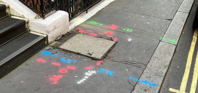
PAS 128 calls this survey type site reconnaissance: a Spatial Dimensions surveyor walks your site, finds every visible sign of buried services — manhole and inspection covers, valve covers, utility marker posts — and checks them against the statutory utility records collected at QL-D.
In short: a visual inspection survey from Spatial Dimensions tells you how far the utility records can be trusted, by mapping the surface evidence of what is actually on your site. It detects nothing below ground — that is QL-B’s job — but it is a quick, low-cost way to validate records early in a project. Surveys start at £500 per day on site.
or call 01732 458799

What is a visual inspection survey?
A visual inspection survey is the second rung of the four survey types defined in BSI PAS 128:2022, the UK specification for underground utility detection and mapping. PAS 128 names it site reconnaissance, survey type C, and grades its output at quality level QL-C.
The survey is entirely visual and non-intrusive. The surveyor identifies the surface features that betray buried utilities, locates them, and compares them with the desktop search records — recording where the two disagree: a chamber the records do not show, or a plotted main with no surface evidence.
Where does QL-C sit in the PAS 128 ladder?
QL-C sits above records and below detection; the QL-D desktop search is the prerequisite for all other levels.
Swipe the table sideways to see all the columns.
| Survey type | Quality level | What happens | Confidence in position |
|---|---|---|---|
| Desktop utility search | QL-D | Statutory records from utility owners collated onto one base drawing | Records only — unverified |
| Site reconnaissance (this page) | QL-C | Surface utility features identified on site and used to validate the records | Records corroborated at the surface |
| Detection | QL-B | Electromagnetic location (EML) and ground penetrating radar (GPR) trace services below ground | Measured; depth tolerance ±15% dual-technology |
| Verification | QL-A | Trial holes or vacuum excavation expose the service (HSE guidance HSG47) | Positively confirmed position and depth |
PAS 128 allows QL-C to run simultaneously with a QL-B survey on site — how Spatial Dimensions usually delivers it. Commissioning it alone makes sense in the situations below.
What does a visual inspection survey validate — and what can it not do?
A QL-C survey validates the statutory records against what is visible at the surface: which recorded services have supporting evidence on the ground, which surface features the records miss, and where the records are wrong — an honest measure of record quality before you design around those records or pay for detection.
What it cannot do is see underground. No instrument is used, so no buried positions, routes or depths are traced. Spatial Dimensions will tell you plainly when a visual inspection is the wrong tool: locating services takes EML and GPR detection at QL-B, with verification at QL-A where excavation depends on it.
When is a QL-C survey the right choice on its own?
A standalone visual inspection survey earns its keep in three situations.
- Early feasibility. QL-D records plus a QL-C walkover show how congested a site is and how reliable the records are, for a fraction of the cost of full detection.
- Checking record quality. If the desktop search returns thin or contradictory records, reconnaissance establishes what can be corroborated before you decide what to detect.
- Budget-staged projects. Records and reconnaissance first, then detection targeted only where the design needs it, keeps early spend down without skipping steps.
When is QL-C alone the wrong buy? Before any excavation. HSG47, the HSE’s guidance on avoiding danger from underground services, expects buried services to be positively identified before digging — and a record check plus surface observation does not achieve that. If ground is being broken, specify QL-B detection, with QL-A trial holes where exact position and depth matter.
What happens on site?
The surveyor covers the commissioned area on foot, recording every visible utility feature. Where lifting a cover is needed to confirm a feature, Spatial Dimensions lifts it with a hand-operated hydraulic lifter — a maximum 30-minute attempt per cover. A cover that cannot be lifted safely, or safely re-seated, is recorded as Unable to Lift (UTL) rather than forced.
We do not enter chambers: quotes assume all chambers are NC1 low-risk confined spaces under the Water UK classification, higher-risk chambers are priced separately with advance notice, and measurements taken from ground level are indicative only. Site-specific RAMS are issued before we mobilise; field staff carry CSCS cards and are confined-space trained.
What deliverables will I receive?
You receive the validated picture: every identified surface feature located and mapped onto the base drawing, the statutory records checked against those features, discrepancies noted, and the PAS 128 quality level stated on the drawing so anyone reading it knows how the information was derived. Issue is digital, as CAD (.DWG/.DXF) and PDF.
One caution: PAS 128 quality levels cannot be met on an Ordnance Survey map base alone. Features are mapped onto a topographical survey — surveyed by Spatial Dimensions, or client-supplied, in which case accuracy depends on that survey’s control.
Who commissions visual inspection surveys?
Planners and architects commission QL-C at feasibility stage; consultants and project managers use it to test record quality before committing detection budget; contractors and developers use it to stage utility spend on phased sites. See our resource pages for planners, for architects, for consultants and for contractors.
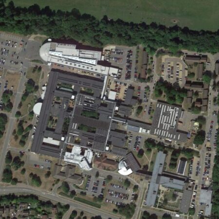
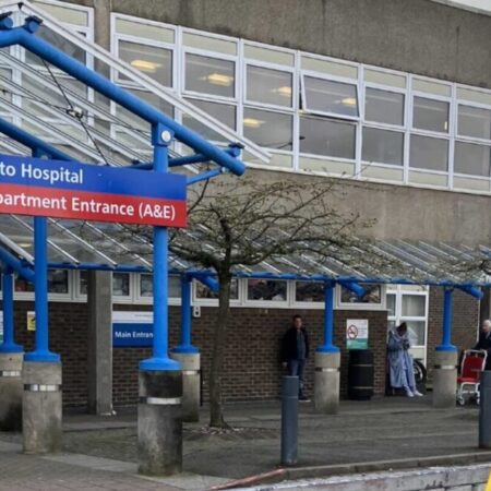
Recent Spatial Dimensions underground utility projects include Kent & Canterbury Hospital, Southend University Hospital, Unity Campus and RAF bases.
How much does a visual inspection survey cost?
A visual inspection survey from Spatial Dimensions starts at £500 per day on site. Most visual inspection surveys fall between £650 and £950, depending on site area and the number of features recorded.
Price is driven by site area, the number of features and covers to record, access and traffic management, any chambers above NC1 classification, and whether the reconnaissance runs alongside a QL-B visit — one combined mobilisation is usually the economical route. The QL-D search is a prerequisite, priced separately if not already in hand (interim report within 3–5 working days).
Spatial Dimensions quotes a fixed price against a written specification stating the PAS 128 survey type and deliverables, with no hidden costs — backed by £10 million professional indemnity insurance and ISO 9001:2015 certification.
For a fixed price, send us the site address and the approximate area. We will come back with a written quote within 24 hours. All prices exclude VAT.
or call 01732 458799
Frequently asked questions
What is a PAS 128 QL-C survey?
QL-C is the quality level PAS 128:2022 assigns to site reconnaissance: a visual survey identifying surface utility features — manholes, valve covers, marker posts — to validate the statutory records collected at QL-D. It is survey type C of the four types in the specification.
Is a visual inspection survey the same as a walkover survey?
In practice, yes. “Walkover” is the common shorthand, and both describe the same thing. The specification’s formal name is site reconnaissance, survey type C — specify it as QL-C so every bidder prices the same survey.
Can a visual inspection survey find buried services?
No. QL-C records what is visible at the surface; nothing below ground is detected. Locating buried services needs a QL-B detection survey using electromagnetic location and ground penetrating radar, which Spatial Dimensions can carry out on the same visit.
Do you lift manhole covers?
Yes, where it is needed to confirm a feature and safe to do — with a hand-operated hydraulic lifter and a maximum 30-minute attempt per cover. Covers that cannot be lifted or safely re-seated are recorded as Unable to Lift (UTL). Spatial Dimensions does not enter chambers, and ground-level measurements are indicative.
When should I upgrade to a QL-B survey?
As soon as you need to know where services actually run — for design coordination, and always before excavation, where HSG47 expects positive identification. Because QL-C can run simultaneously with QL-B, upgrading usually means one combined site visit rather than two.
How deep can GPR see?
Request a visual inspection survey quote
Send us the site address, the approximate area and whether you already hold a QL-D desktop search; Spatial Dimensions will reply with a written, fixed-price quote within 24 hours.
Phone: 01732 458799
Offices: London · Sevenoaks · Nottingham · working nationwide
Related services
- Underground utility surveys — the parent service
- Desktop utility searches (QL-D) — the prerequisite records search
- PAS 128 utility surveys — the specification and what each quality level means
- Electromagnetic location surveys (EML) — QL-B detection
- GPR surveys — QL-B detection
- Utility verification surveys (QL-A) — trial holes and positive confirmation
Our free Guide to Specifying an Underground Utilities Survey is available from our guides page.