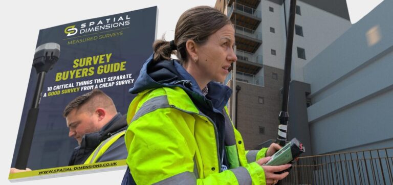
At Spatial Dimensions, we specialize in underground utility surveys, also known as utility mapping or subsurface utility engineering. Our mission is to help our clients create safe and efficient environments by accurately identifying the location and condition of the underground utilities that exist beneath the surface of the ground.
By utilising advanced technology and non-destructive techniques, such as electromagnetic detection and ground penetrating radar (GPR), we are able to accurately locate and trace the buried utilities. This helps to prevent damage to the utilities and ensure that projects are carried out safely and efficiently.
Providing detailed information on the location and condition of the underground utilities, an underground utility survey helps to improve safety, reduce downtime, and lower costs associated with unexpected repairs or damages caused by blind excavation. It is an essential part of any pre-planning for any construction or excavation project to avoid any utility strikes and resulting safety issues or violations.
WHY WOULD I NEED AN UNDERGROUND UTILITY SURVEY?
Underground Utility Surveys are a critical process that reduces the risk of service interruptions, accidents and costly repairs by locating and identifying underground utilities like: gas, water, electricity, telecommunications, sewer lines etc and is an essential step in any project design and planning process that involves construction and excavation.
Spatial Dimensions combines Ground Penetrating Radar (GPR) and Electromagnetic Detection to provide you with an accurate view of the vertical and horizontal position of all detected utilities by using a combination of cable/pipe locator and GPR technology. This is a beneficial tool on building investigation due to its capability to define location and depth of metallic and non-metallic utilities. Closed Circuit Television (CCTV) can also be offered to create accurate maps and records of the drainage in the surveyed area. After interpreting the collected data, we’re able to mark out the detected utilities on site and present final 2D or 3D CAD / Revit reports.
THE SURVEY ASSOCIATION'S DEFINITIVE GUIDE
The Survey Association (TSA) produced a definitive guide to specifying a PAS-128 guideline developed through a consensus process by a panel of experts and is available for use by the public.
This has not only led to a greater degree of safety, but also an increased level of transparency from quote to delivery.
Spatial Dimensions are full members of TSA with Claire Fenwick, our Managing Director, the current Vice President. PAS 128 has become widely recognised and adopted as a best practice standard in the UK.
The Essential Guide to PAS128 2014 Utility Detection, Verification and Location, and the Mini Guide can be downloaded, free of charge here.
*A minimum of the two techniques of electro-magnetic location and ground probing radar is required for a PAS128 compliant survey.
**The verification survey specifies recording information available from manholes and intrusive excavation.
If you’re planning a construction or excavation project, get in touch to ensure that an underground utility survey is included in your planning process. It’s a small investment that can lead to big and efficient benefits for your project.


 Skip to content