 Skip to content

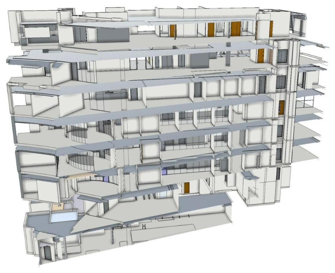
The Building Safety (Remediation of Unsafe Cladding etc) Bill was introduced in the House of Commons on 14 October 2026. It would create a legal duty on those responsible for a building to identify, assess and remediate unsafe cladding without delay, with penalties of up to £500,000 for ignoring a Remediation Order. Spatial Dimensions supports that work with measured building surveys, drone surveys, laser scanning and Revit models of existing buildings, giving fire engineers and architects accurate elevations, sections and floor plans to work from. Measured building surveys start from £850, excluding VAT.
What is the unsafe cladding Bill?
It is new legislation to speed up the removal of unsafe cladding from residential buildings in England. Its full name is the Building Safety (Remediation of Unsafe Cladding etc) Bill. The Ministry of Housing, Communities and Local Government introduced it in the House of Commons on 14 October 2026.
The government’s aim is that, by the end of 2029, every building over 11 metres with unsafe cladding is either remediated or has a clear completion date. The Bill gives it tougher powers to get there. The government expects it to speed up remediation for around 12,000 residents, and says it has committed over £5 billion to remediation so far.
The Bill is at an early stage. Its details could change as it goes through Parliament, so treat what follows as what the government has proposed, not settled law.
What does the Bill ask building owners to do?
It puts a new legal duty on those responsible for building safety, such as freeholders, to identify, assess and fix unsafe cladding without delay. According to the government’s summary, the main measures are:
- A duty to act. Responsible entities must identify, assess and fix issues without delay. Anyone who obstructs the work could face criminal penalties.
- Penalties for inaction. The First-tier Tribunal could impose penalties of up to £500,000 on a responsible entity that fails to comply with a Remediation Order.
- Step-in powers. Homes England or local authorities could carry out the work themselves if those responsible keep failing to act.
- A route for leaseholders. Where a building has no effective owner, leaseholders would have clearer legal routes to take over its management.
- A register. All medium-rise residential buildings in England would go on a new register. Failing to register could bring civil penalties of up to £7,000 or £40,000, or prosecution.
- Consistent assessments. Fire risk appraisals of external walls (FRAEWs) must follow a consistent approach, based on evidence and independently audited.
- A plan for residents. Where remedial work is recommended, residents must be given a plan with the steps and timescales for their building.
The Bill also gives developers and contractors who paid for safety works a simpler route to recover costs from cladding manufacturers, where a product helped make the building unsafe.
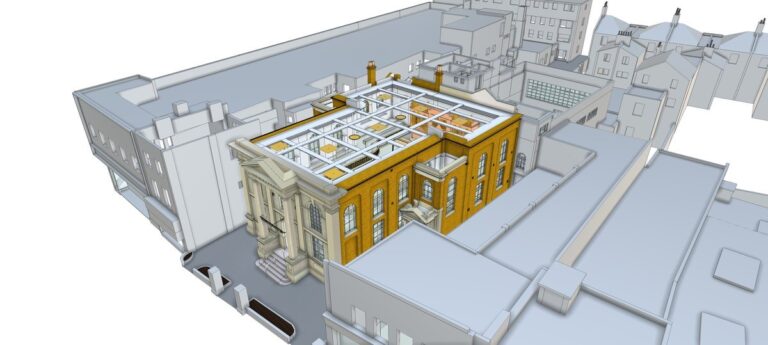 READ NEXTLISTED AND HISTORIC BUILDINGS: WHAT TO ASK FOR IN A MEASURED SURVEY
Where does an accurate record of the building come in?

At every step. An assessment, a remediation design and a plan for residents all depend on knowing what the building actually is: its height, its storeys, the extent of each wall type and how the elevations are made up. On older blocks, the drawings held often don’t match what was built.
The first step is to establish the building’s precise height, because that decides whether the regulations apply at all. The Bill’s duty to remediate covers residential buildings over 11 metres or with at least 5 storeys, so a 4-storey block at 10.8 m and one at 11.2 m sit on different sides of the line. We measure height to the principles of Diagram D6 in Approved Document B: from ground level on the lowest side of the building to the top surface of the floor of the topmost storey, leaving out roof-top plant. Where the ground slopes or the building steps, we record the levels on each side so the figure can be checked.
Our one-minute explainer shows how it works: measure from the lowest side to the top floor surface, and leave out the roof, any roof-top plant and storeys that are only plant rooms.
/

We did exactly this at Greenwich Millennium Village, a large residential development on the Greenwich Peninsula. The client needed measured surveys of 15 buildings for a Building Safety Fund application, and that funding was only open to buildings over 18 metres. We controlled the laser scans to Ordnance Survey datum and grid to establish each building’s correct height, and used a drone with photogrammetry for the high-level elevations and roofs that couldn’t be seen from the ground. Six CAD technicians turned 180 days of drawing into 35 working days, so the application met its deadline.
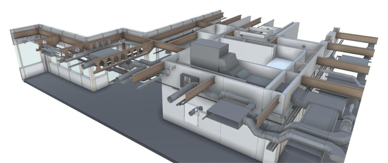
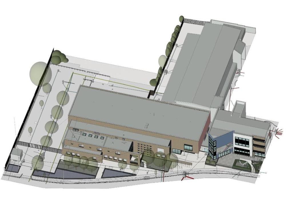
A FRAEW is carried out by a fire engineer, not a surveyor. However, the engineer and the architect both need reliable elevations, sections and floor plans. Spatial Dimensions provides them. For example, a measured building survey records each elevation at a level of detail agreed in writing, to ±10 mm at LOD 3 or ±5 mm at LOD 4 for 2D drawings. Laser scanning captures the whole exterior in one visit, including areas that are hard to reach, and the point cloud can be delivered as .E57 or .RCP files. From the same scan, we can build a Revit model in native .RVT with an IFC copy, on Ordnance Survey grid and datum.
As a result, the design team prices and designs the remediation against the building as it stands, not as an old drawing says it should be.
What changes on a taller building?
More approval. A higher-risk building is one with at least 7 storeys or at least 18 metres in height, and at least 2 residential units. Under the Building Safety Act, external remediation work on an existing higher-risk building needs building control approval from the Building Safety Regulator before it starts.
The application has to explain how the work will comply. Where information about the existing building is missing, GOV.UK says the applicant must “provide evidence from surveys and inspections” to explain it. That is where accurate as-built records save time (see our article on Gateway 2).
PLANNING A PROJECT?
Tell us about your site and what you need, and we will come back to you with a quote.
How much does a survey of an existing building cost?
A measured building survey from Spatial Dimensions starts from £850, and most jobs fall between £1,500 and £15,000. The price depends mainly on the size of the building, the number of elevations and the level of detail needed. Typical services for remediation work:
The ranges are the span across each whole service, not one job. We itemise the laser scanning and the modelling separately. A price match guarantee applies to measured building and 3D model work. All prices exclude VAT. We will come back with a written quote within 24 hours.
What can’t a survey tell you?
It can’t tell you whether cladding is safe. A measured survey records where things are and how big they are. It does not identify materials behind the surface, test them or judge fire risk. That is the job of a fire engineer, usually with intrusive investigation.
Equally, a survey records the building on the day it was surveyed. If panels are removed or replaced during remediation, the record should be updated at the end, so the next assessment starts from the building as it now stands.
What does this mean for building owners and their design teams?
It means getting the basic information right early. If the Bill becomes law in this form, responsible entities will be working to a duty and, potentially, to a Remediation Order. Delays caused by poor drawings will be harder to explain.
In practice, three things help. First, check whether the drawings you hold match the building. Second, agree the deliverable and the level of detail with your fire engineer and architect before the survey. Third, take more than one output from one visit: elevations, floor plans and a model can all come from the same scan. Our average time from instruction to site is 5.3 working days.
Unsafe cladding Bill FAQs
What is the Building Safety (Remediation of Unsafe Cladding etc) Bill?
It is government legislation, introduced in the House of Commons on 14 October 2026, to speed up the remediation of unsafe cladding on residential buildings in England. It puts a duty on those responsible to identify, assess and fix unsafe cladding without delay.
Who does the Bill apply to?
It applies to those responsible for building safety, such as freeholders, which the government calls responsible entities. It also creates a register of medium-rise residential buildings in England.
Does Spatial Dimensions carry out fire risk appraisals of external walls?
No. A FRAEW is carried out by a fire engineer. Spatial Dimensions provides the measured elevations, sections, floor plans and 3D models of the existing building that the fire engineer and architect work from.
Does remediation of a higher-risk building need approval?
Yes. External remediation work on an existing higher-risk building, with at least 7 storeys or 18 metres and at least 2 residential units, needs building control approval from the Building Safety Regulator before work starts.
How accurate is a measured survey of an elevation?
Spatial Dimensions surveys 2D elevations to ±10 mm at LOD 3 and ±5 mm at LOD 4. The level of detail is agreed in writing at quotation.
How much does a measured building survey cost?
Spatial Dimensions measured building surveys start from £850, and most fall between £1,500 and £15,000, excluding VAT. The price depends mainly on the size of the building and the level of detail.
Spatial Dimensions has surveyed existing buildings since 2012, with permanent in-house teams of surveyors, CAD and Revit technicians and project managers. We never subcontract our core work, and we carry £10m of insurance across professional indemnity, public liability and employer’s liability. Our offices are in Sevenoaks, London and Nottingham. Our Managing Director, Claire Fenwick FCInstCES, is President of the Geospatial Survey Association. Call us on 01732 458799 or get in touch.
Need elevations for a remediation scheme? Download our Level of Detail in 2D Measured Building Surveys guide.
 DEVELOPER
 CONSULTANT
 ARCHITECT
 ENGINEER
 SURVEYOR
 PLANNER
 CONTRACTOR
 ESTATE AGENT
 LAWYER
 HOMEOWNER