Skip to content
UNDERSTANDING A GEOSPATIAL SURVEYORS ROLE
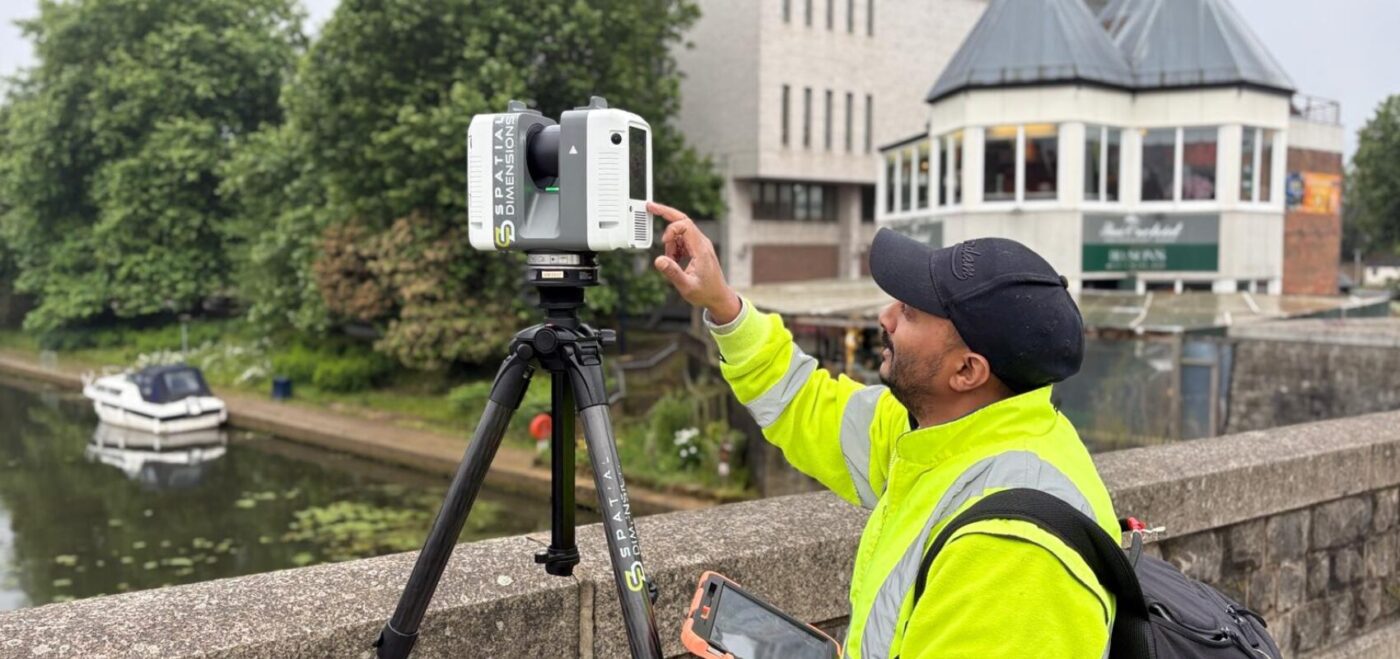
To most passersby, a geospatial surveyor is simply the person behind a tripod. However, ask anyone in the field, and they will tell you that no two days are ever the same.
One morning you might clamber across the roof of a listed Victorian terrace. By Thursday, you are executing precision control network surveys inside a major sports stadium. You might also map hundreds of hectares for a town redevelopment scheme.
This constant variety draws people into geospatial surveying, also known as measured surveying. The role blends hands-on field operations with digital problem-solving. Surveyors serve as the ultimate site detectives every single day. They navigate changing weather conditions and tackle complex spatial puzzles. They also master cutting-edge technology, from laser scanners to mapping drones.
Beyond the technical gear, geospatial surveyors measure, analyse, and map spatial data. They create exact digital replicas of land, structures, and subterranean infrastructure. Every project relies on surveyors to establish baseline physical facts before construction begins. Without accurate spatial data, architects are left to design against assumptions. This leads to costly structural clashes, budget overruns, and project delays.

THE GEOSPATIAL SURVEYORS PROCESS

CORE TYPES OF GEOSPATIAL SURVEYING
Three fundamental survey types form the backbone of development and infrastructure projects:
1. MEASURED BUILDING SURVEYS
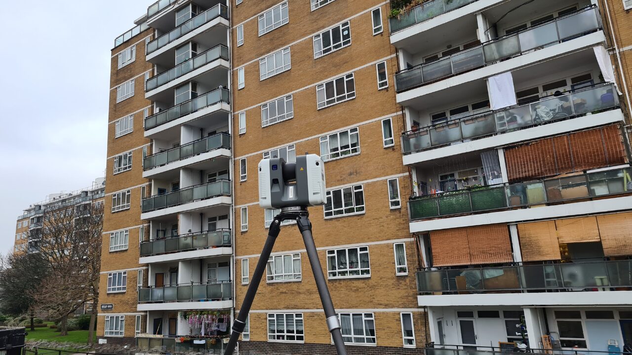
Architects require an exact representation of an existing structure before designing. A measured building survey captures every structural and architectural element inside and out.
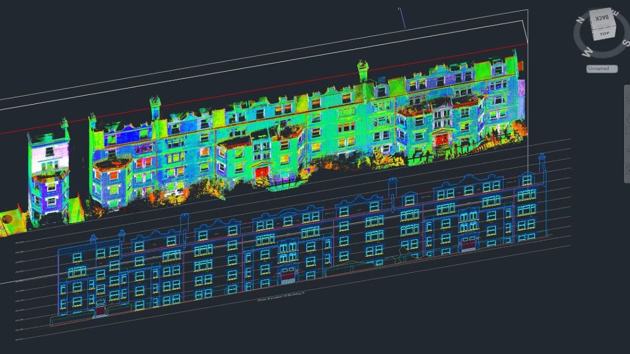
Surveyors capture millions of spatial measurements per second using laser scanners. This results in a precise recording of structural columns, ceiling heights, and door openings. It also captures window reveals, floor levels, and façade details. This eliminates reliance on outdated paper blueprints or inaccurate historic records.
2. TOPOGRAPHICAL SURVEYS
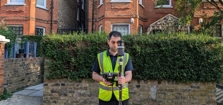
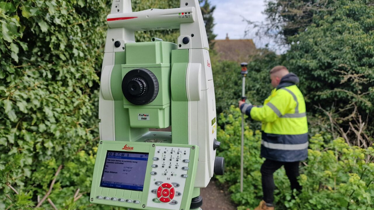
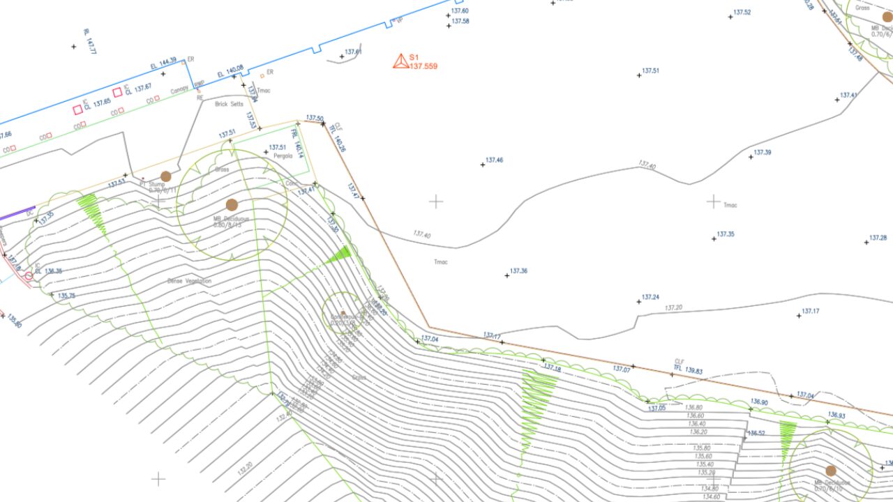
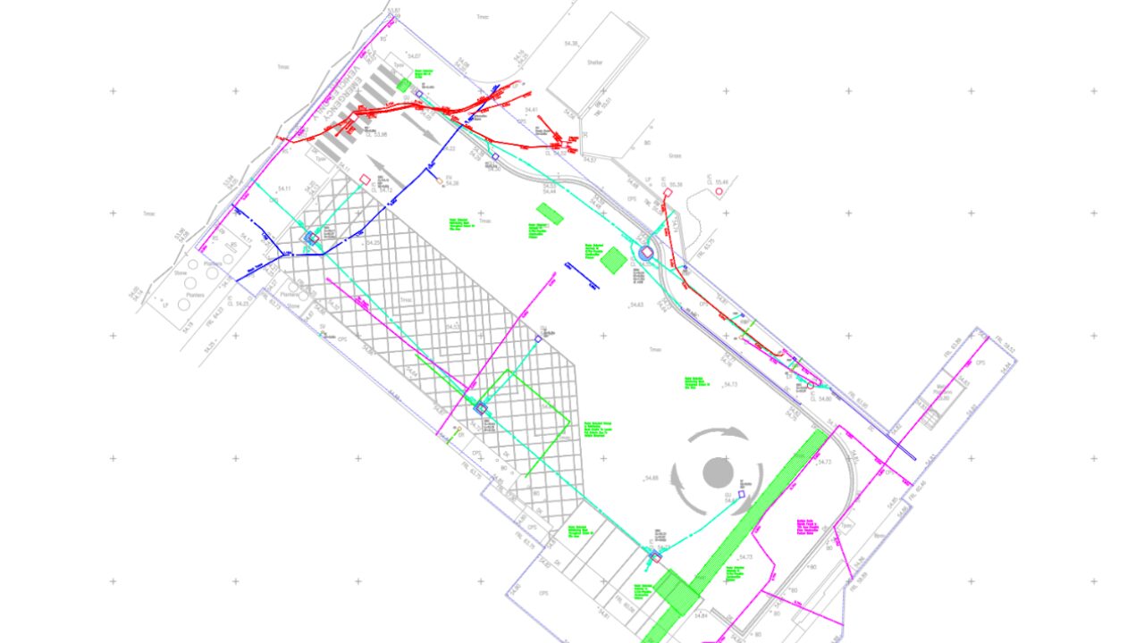
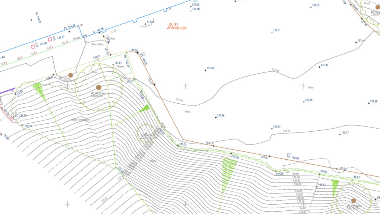
A topographical survey identifies and maps the features of a specific parcel of land. Surveyors map these key features using RTK GNSS receivers, robotic total stations, and aerial drones:
- Ground contours and terrain changes
- Site boundaries, fence lines and retaining walls
- Existing roads, pathways, kerbs, and inspection chambers
- Trees, vegetation boundaries, and water bodies
Topographical surveys provide an essential spatial foundation across many industries. Architects and urban planners use them to design site layouts that fit the natural landscape. Landscape architects rely on them to plan grading, planting, and outdoor features. Environmental consultants evaluate flood risks, drainage patterns, and ecological impacts using this data. Property developers and legal teams also use them to verify boundary lines and settle land ownership matters.
3. UNDERGROUND UTILITY SURVEYS
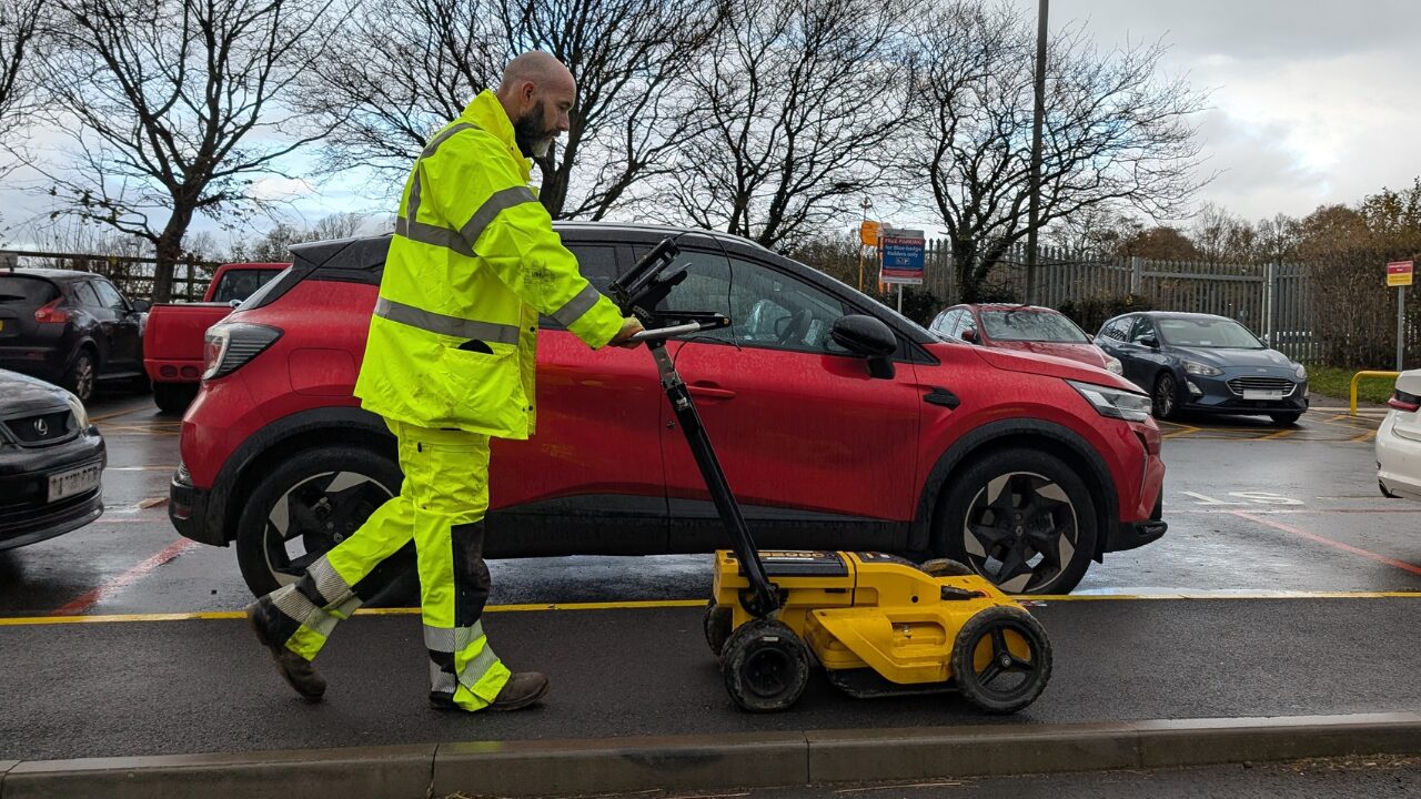
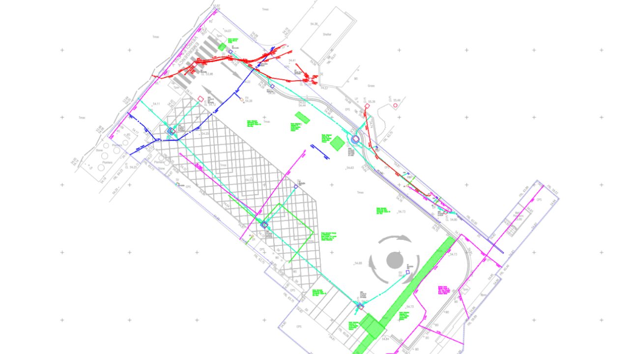
Building on top of the ground requires knowing what lies beneath it. Underground utility surveys map hidden subsurface infrastructure without digging exploratory trenches. Surveyors map electrical cables, gas mains, fibre optic lines, drainage pipes, and water networks.
Surveyors detect subsurface reflections using Ground Penetrating Radar (GPR) and Electromagnetic Location (EML) tools. They trace underground routes, determine depth levels, and map utilities to PAS 128 standards. This prevents dangerous cable strikes and saves developers thousands in emergency repairs.
CORE TYPES OF DELIVERABLES
As geospatial surveyors, we deliver a range of survey information. The two most common types are 2D CAD and 3D models, created from point cloud information.


1. POINT CLOUDS
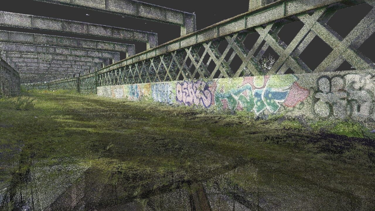
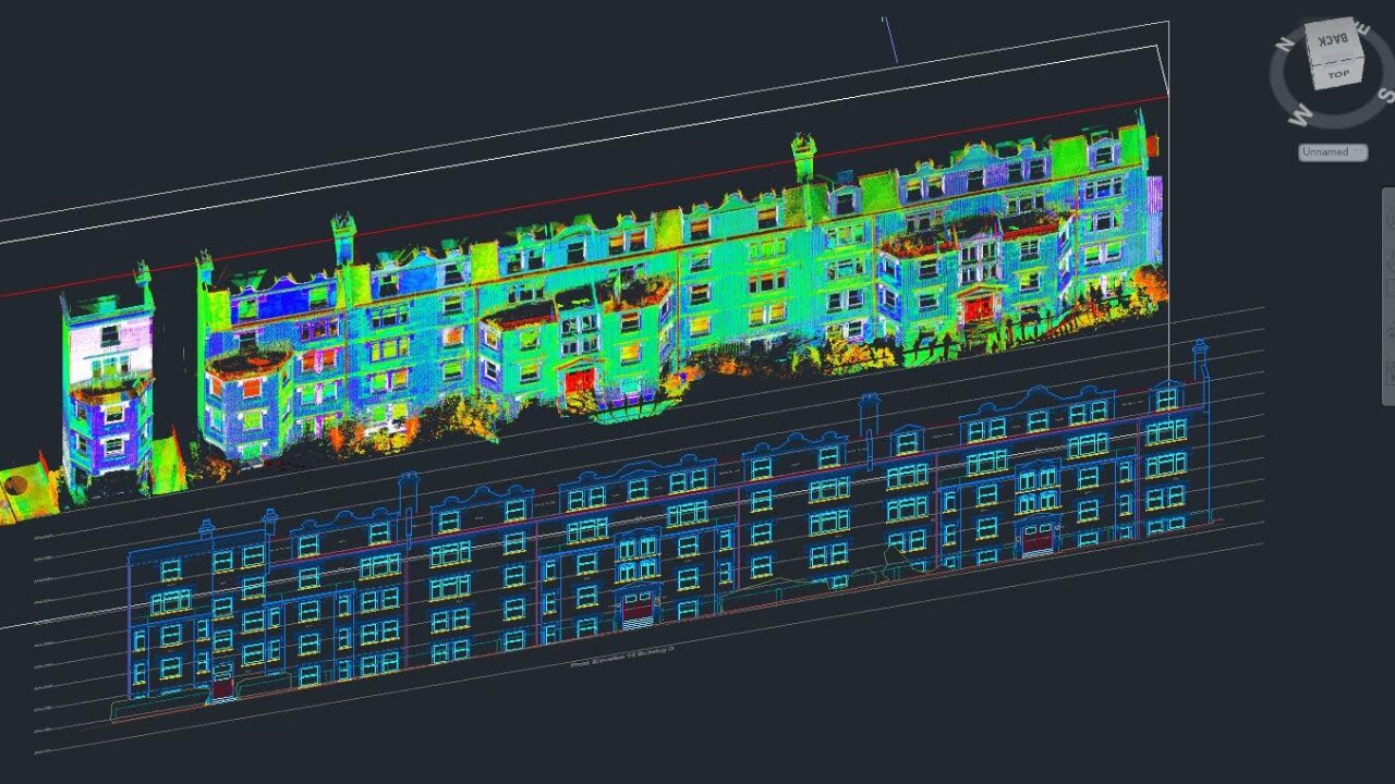
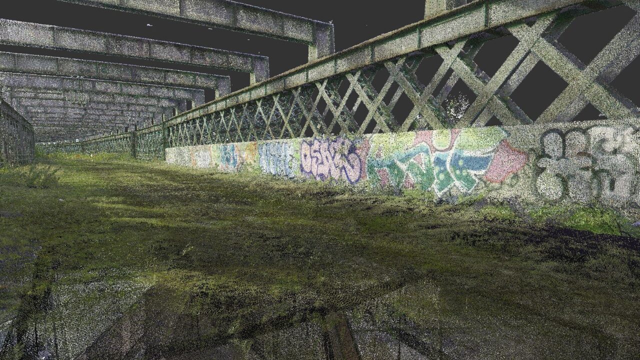
Modern laser scanners produce a point cloud. This is a dense collection of millions of individual 3D coordinates. Specialised software registers individual scans together. It filters noise to produce a millimetre-accurate digital point cloud. Our Spatial Twin service ensures you can view your point cloud quickly, any time, any where. Learn more here.
2. 2D CAD
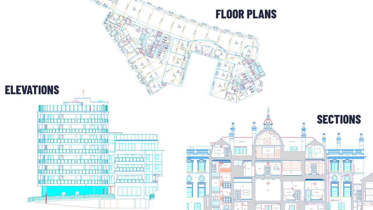
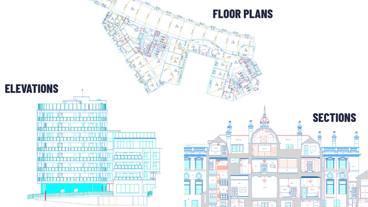
Our CAD team trace over the processed point cloud information to create 2D information. This accurately creates floor plans, elevations and sections. Topographical and most underground surveys are also normally delivered in 2D CAD.
Floor Plans: A bird’s-eye view of each level, showing room layouts, wall thickness, doors, and windows.
Elevations: Straight views of the outside or inside walls, showing building height, materials, and architectural detail.
Sections (elevated or cut): A view through a sliced building, showing floor heights, roof angles, stairs and structural depths.
Topographical Mapping: Existing information of land and other assets.
Underground Mapping: Existing information of below-ground assets.
These simple 2D drawings give you an exact layout to plan new spaces safely and accurately.
3. 3D Models
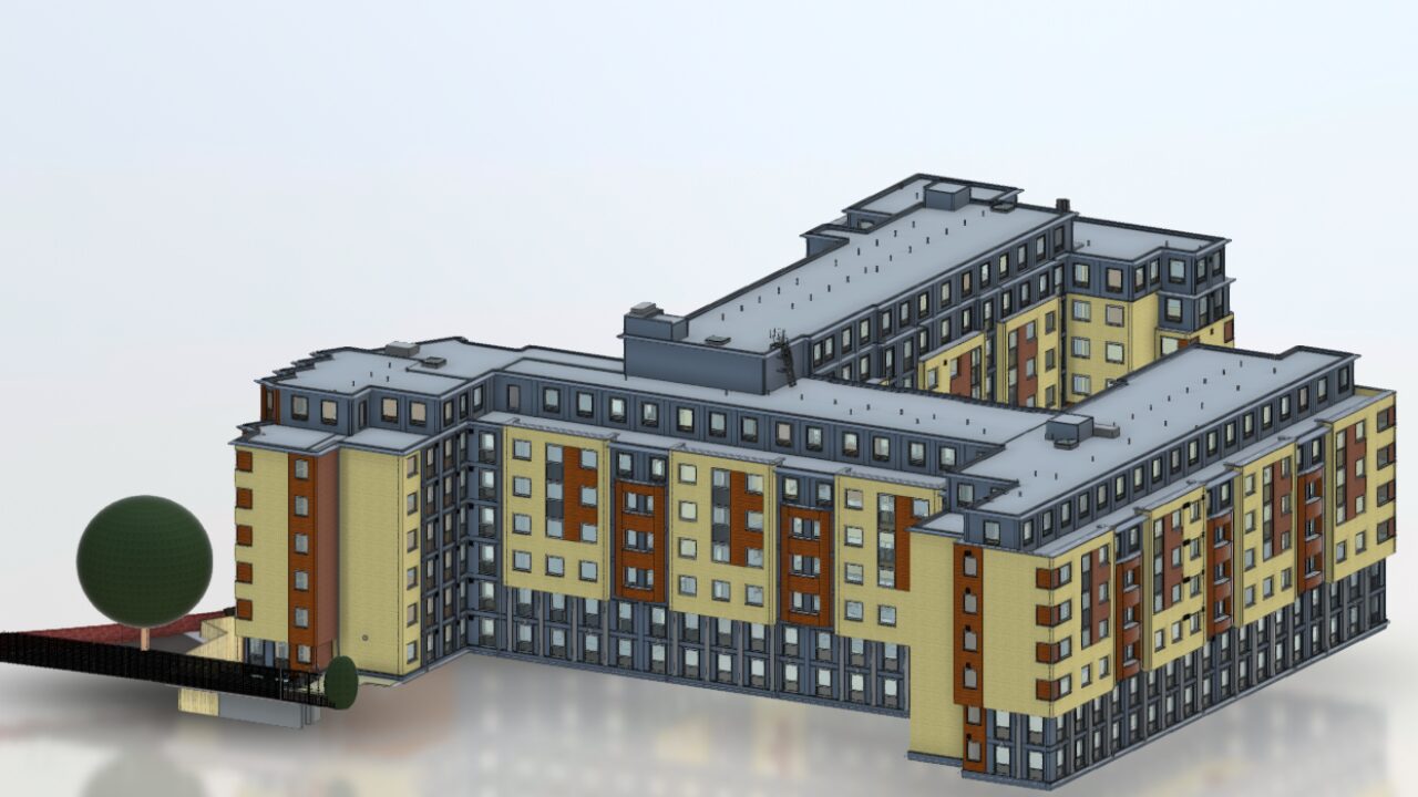
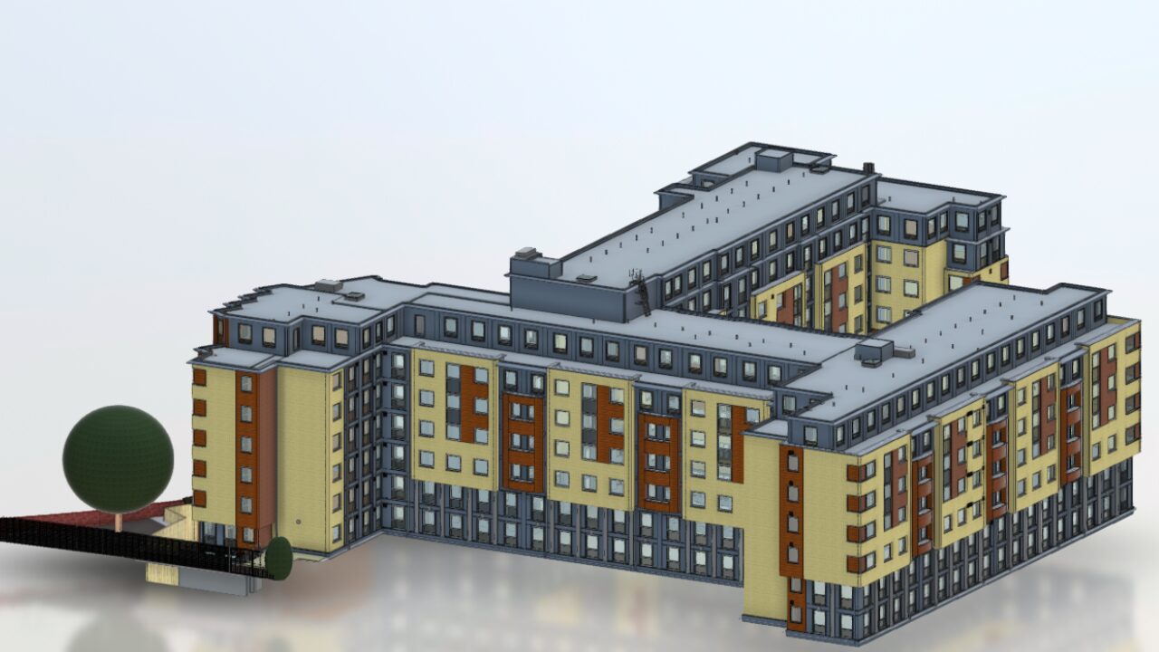
Design teams increasingly require 3D intelligent models over 2D lines. Surveyors load registered point clouds directly into BIM software such as Autodesk Revit to perform Scan-to-BIM modelling.
Surveyors construct parametric 3D elements directly over the point cloud coordinates. They model actual walls, doors, structural steelwork, floors, and pipes. They build these models to an agreed Level of Detail (LOD), from mass modelling to intricate, highly detailed models. You can learn more about LOD here.
QUIETLY SHAPING THE WORLD AROUND US
So, what do geospatial surveyors actually do?
Geospatial surveyors do not merely measure space; they de-risk projects. They convert complex physical environments into precise 2D CAD drawings and rich 3D Revit models. Surveyors ensure that every decision rests on exact spatial truth.
Geospatial surveying is more than lasers, coordinates, and CAD drawings. At its core, our work quietly forms the invisible foundation of modern society. Long before a family steps into a new home, a school opens its doors, or a train glides across a new bridge, a surveyor stood on that land first. We capture the spatial truths that keep public spaces safe, historic buildings preserved, and modern developments rising without flaw.
Every measured line and captured point cloud protects real people, real budgets, and real communities. We work through early mornings, freezing weather, and tough terrain so that designers can dream with confidence. When you walk through a bustling city centre or travel across a newly built bridge, you are experiencing the work of geospatial surveyors.
We don’t just measure the world as it exists today. We help shape the world that future generations will live in tomorrow.