Skip to content
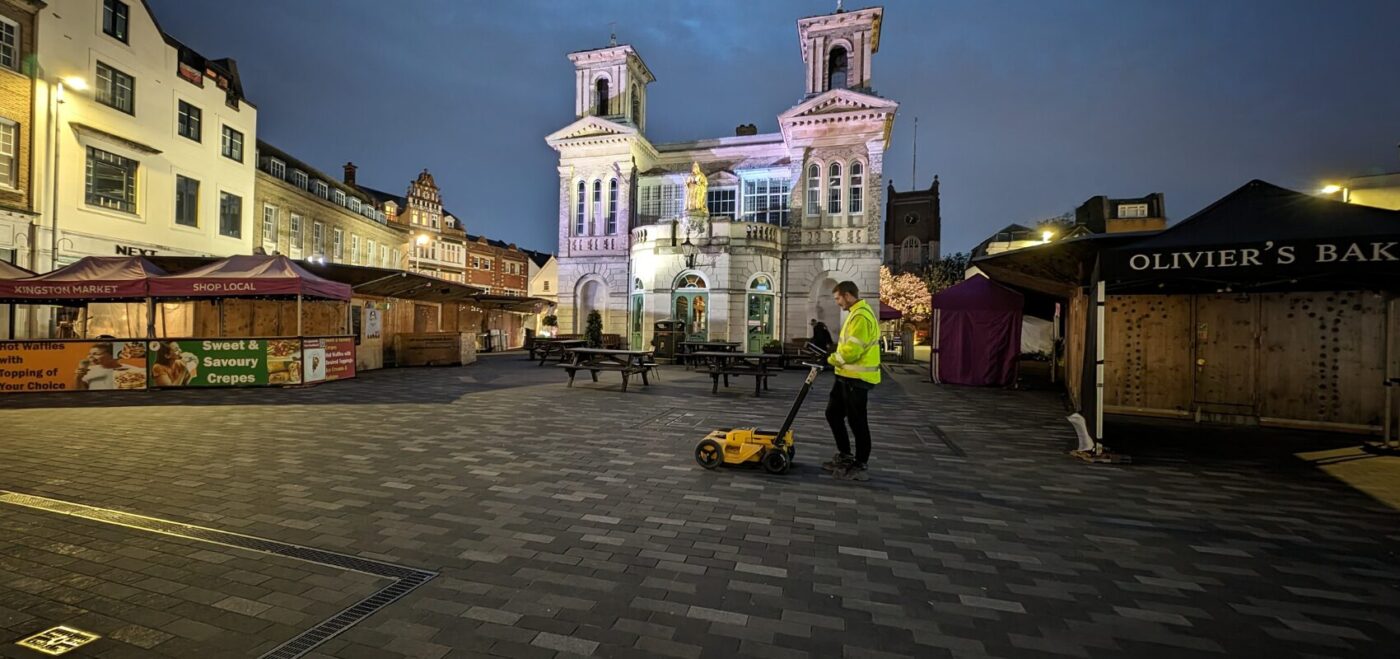
Spatial Dimensions is a UK measured building survey and geospatial company, founded in 2012, providing ground penetrating radar (GPR) surveys from offices in London, Sevenoaks and Nottingham to sites nationwide. Teams mobilise in an average of 5.3 working days from instruction.
GPR is one half of how we detect buried services — the half that finds what electromagnetic location (EML) cannot: plastic pipes, empty ducts, voids, buried slabs and reinforcement. On a PAS 128 survey both are deployed as standard.
In short: a GPR survey from Spatial Dimensions transmits radar pulses into the ground and reads the reflections to locate buried pipes, ducts, voids, slabs and reinforcement without digging. Alongside EML it brings reported depth tolerance to ±15% under PAS 128:2022, with results marked on the ground and mapped onto a topographical base in 2D CAD or 3D Revit. Surveys start at £800 per day on site.
or call 01732 458799
What is a ground penetrating radar (GPR) survey?
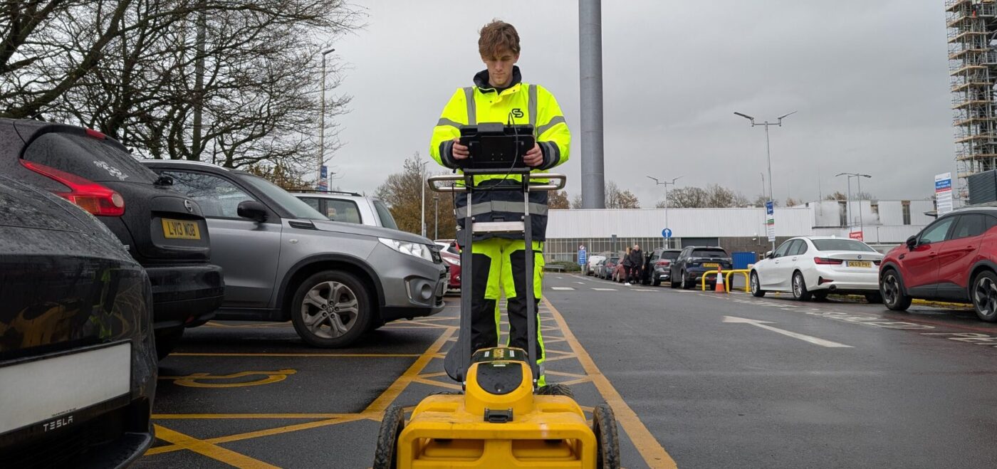
A GPR survey is a non-invasive way of finding what lies beneath a surface without breaking it. As the radar unit moves across the site it transmits pulses of radio energy into the ground; wherever a pulse meets a change in the material below — a pipe wall, an air void, the edge of a buried slab — part of the signal reflects back and is recorded. A trained Spatial Dimensions surveyor interprets those reflections to establish what is down there, where it runs and how deep it sits.
Because the radar responds to any change in the ground, not only metal or live current, it finds services other methods miss. Nothing is excavated and nothing needs switching off.
What can GPR detect that EML cannot?
GPR finds the services that carry no current and contain no metal. EML traces the fields around live cables and metallic pipes, so it cannot sense a plastic water pipe, a clay drain or an empty duct. GPR can. Spatial Dimensions uses it to locate:
- Non-metallic pipes and ducts — plastic water and gas pipes, clay drainage, ducting
- Unsheathed fibre in ducts — EML needs a flexi-trace rod threaded into the duct; GPR detects the duct from the surface
- Buried slabs, foundations and below-ground structures
- Voids beneath hard surfaces
- Rebar and reinforcement within concrete
GPR is also used to assess ground conditions before construction and for archaeological investigation. For what EML does best, see our electromagnetic location surveys page.
How do GPR and EML work together on a PAS 128 survey?
They confirm each other, and the difference shows in the numbers. Under PAS 128:2022, the British specification for underground utility surveys, the depth of a detected service is reported to a tolerance of ±15% where two technologies confirm it, and ±40% where only one does. So Spatial Dimensions deploys GPR and EML together as standard on every QL-B detection survey. The pairing also covers blind spots: EML positively identifies live cables and metallic pipes; GPR sweeps the same ground for everything else.
Worth knowing early: PAS 128 quality levels cannot be met on an OS map background alone. Detected services must be mapped onto a topographical survey base, so the topo comes first — ours, or a client-supplied one. The full methodology is on our underground utility surveys page.
What are the limitations of a GPR survey?
GPR is powerful but not all-seeing, and Spatial Dimensions will tell you plainly what it cannot do. Industry guidance is that a utility survey can locate up to about 95% of buried services — 100% detection is not feasible.
- The ground itself. Penetration depends on ground conditions, so there is no single honest answer to “how deep can it see”.
- Reinforced concrete. Reinforcing grids impair penetration — GPR picks up the rebar itself, but a dense mesh can screen what lies beneath it.
- Congestion. Dense service corridors reduce accuracy, and one drawn line can represent several cables or ducts sharing a trench.
- Surface obstructions. A feature buried within 25 cm of a wall, skip, planter or parked vehicle may remain undetected.
- Small direct-buried fibre. Fibre laid directly in the ground with no sheath or duct is likely undetectable.
Results should be independently verified before designs are finalised or excavation begins — that is what a QL-A utility verification survey is for: trial holes under HSG47 confirming a service and its true depth. Spatial Dimensions documents every limitation with its reason, not a generic disclaimer.
How should I prepare a site for a GPR survey?
Give the radar a clear, uniform surface — preparation directly improves the data. Before we arrive: clear movable obstructions such as skips, stored materials and parked vehicles (remember the 25 cm rule above), cut long grass and vegetation short, and leave the surface as uniform as you can.
A return visit caused by obstructed ground or poor preparation is chargeable, so this is worth the effort. If clearance is difficult, tell us at enquiry and we will plan around it.
What will I receive from a GPR survey?
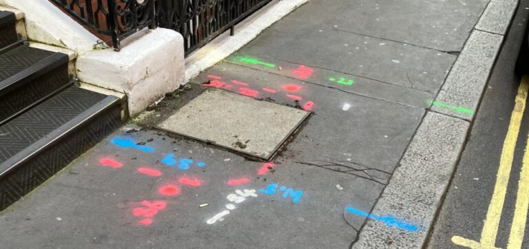
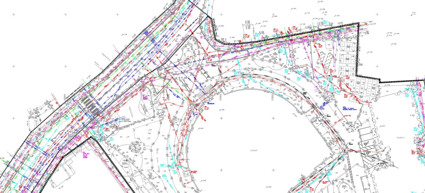
Two things: marks on the ground, and an accurate drawing or model.
Swipe the table sideways to see all the columns.
| Deliverable | Format | What it is |
|---|---|---|
| On-site mark out | Temporary biodegradable spray paint (standard) | Services, depths and chamber extents marked on the surface; long-lasting paint, tape, chalk or flags on request |
| 2D utility drawing | .DWG / .PDF | Detected services with positions and depths on a topographical survey base |
| 3D utility model | Revit (.RVT) or 3D AutoCAD | Chambers, pipes and ducts modelled for BIM coordination |
Marks are not removed after the survey (help is available on request). If you only need marks on the ground before excavation, a site mark out is the leaner service. All processing is in-house under ISO 9001:2015 — the person who drafts a job never signs it off.
Who commissions GPR surveys from Spatial Dimensions?
Mostly the people about to dig or design: main contractors de-risking excavation, architects and engineers coordinating designs around existing services, and their project managers and consultants.
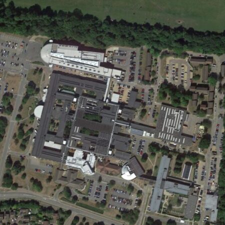
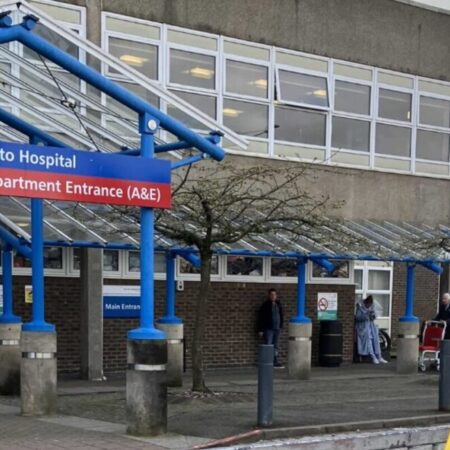
Spatial Dimensions has delivered utility detection surveys at Basildon University Hospital, Kent & Canterbury Hospital, QEQM Hospital, Southend University Hospital, William Harvey Hospital, Hinchingbrooke Hospital and Bracknell Healthspace; at Unity Campus and Broadwalk House; at schools and colleges including Dulwich Prep, Wrotham School and Canterbury College; and on RAF bases. See our resource pages for architects, contractors and consultants.
Is a GPR survey safe?
Yes, when planned properly. Spatial Dimensions issues site-specific risk assessments and method statements (RAMS) before mobilising, and field staff carry CSCS cards and DBS/BPSS checks. Worth knowing: most GPR and EML equipment is not intrinsically safe — not certified for flammable atmospheres — so where that hazard exists, gas detection and safe working procedures go into the RAMS. We follow HSE guidance including HSG47, and carry £10 million professional indemnity, public liability and employers liability cover.
How much does a GPR survey cost?
A GPR survey from Spatial Dimensions starts at £800 per day on site. Most GPR detection surveys fall between £1,200 and £3,500 in total, depending on the area scanned and the quality level required.
The price depends on the area to be scanned, how congested the ground is, the PAS 128 quality level, whether a usable topographical base exists, any traffic management, and site preparation — a return visit due to obstructed ground is chargeable. Because GPR and EML are deployed together as standard, GPR is normally quoted within a full detection survey.
Spatial Dimensions quotes a fixed price against a written specification stating the quality level and deliverables. We will come back with a written quote within 24 hours. All prices exclude VAT.
or call 01732 458799.
Frequently asked questions
What can a GPR survey detect?
Buried pipes and ducts whether metallic or not, voids, slabs and foundations, and rebar within concrete. It is what Spatial Dimensions uses to find plastic pipes, clay drains, empty ducting and unsheathed fibre in ducts — services EML cannot sense.
How deep can GPR see?
There is no single honest figure — penetration depends on your site’s ground conditions, and reinforcing grids reduce it. Be wary of anyone quoting one depth for every job. What Spatial Dimensions states instead is the accuracy of reported depths: ±15% where GPR and EML both confirm a service, ±40% where one method alone finds it.
Can GPR see through concrete and rebar?
GPR is the tool for finding rebar, voids and structure within and beneath concrete, but reinforcing grids impair penetration — a dense mesh can screen what lies below it. Where a service beneath a reinforced slab is critical, Spatial Dimensions recommends a QL-A verification trial hole.
What is the difference between GPR and EML?
EML traces the electromagnetic fields around live cables and metallic pipes, so it only finds conductive targets, though a flexi-trace rod extends it into accessible ducts. GPR reads radar reflections from any change in the ground, metal or not — it finds what EML cannot see at all.
Do I need both GPR and EML?
Yes, for a PAS 128 QL-B detection survey — Spatial Dimensions deploys both as standard. Two-technology confirmation earns the ±15% depth tolerance, and each finds services the other misses.
Does weather affect a GPR survey?
The main weather effect is on the markings: standard biodegradable spray paint fades faster in wet conditions, so ask for long-lasting paint before work starts if your programme relies on the marks. The radar itself is governed by ground conditions, assessed job by job.
Request a GPR survey quote
Send us the site address, the approximate area to be scanned and what the survey is for; Spatial Dimensions will reply with a written, fixed-price quote within 24 hours.
Phone: 01732 458799
Offices: London · Sevenoaks · Nottingham · working nationwide
Related services
- Underground utility surveys — the service hub this page sits within
- Electromagnetic location (EML) surveys — the partner technology for live cables and metallic pipes
- PAS 128 surveys — mapping against the BSI quality levels
- Utility verification surveys — trial-hole confirmation of true depth (QL-A)
- Site mark outs — utilities marked on the ground before excavation
- Topographical surveys — the base utility deliverables are mapped onto
A Guide to Specifying an Underground Utilities Survey is free to download from our guides page.