WHAT ARE CAD DRAWINGS?
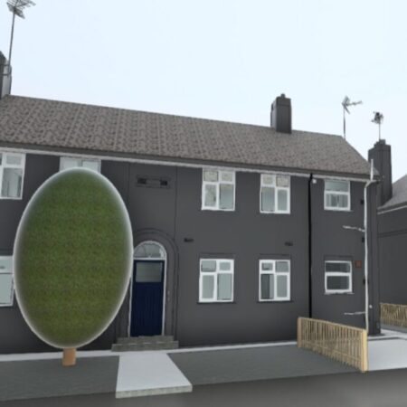
CAD stands for ‘Computer Aided Design.’ 2D drawings and 3D drawings are created using industry-standard CAD software. CAD is a way to digitally create 2D drawings and 3D models of existing buildings and areas.
We take great pride in the visual appearance of our CAD drawings. Typically we use standardised line types & layering systems from our Spatial Dimensions library or (should this be requested) we can adopt your own standard systems & layers.
Our 2D and 3D drawings will be produced in accordance with British Standards and can supplied in PDF & DWG format or paper copies.


WHY CHOOSE SPATIAL DIMENSIONS FOR YOUR CAD DRAWINGS?
We understand quick, reliable and accurate CAD information is essential for our clients.
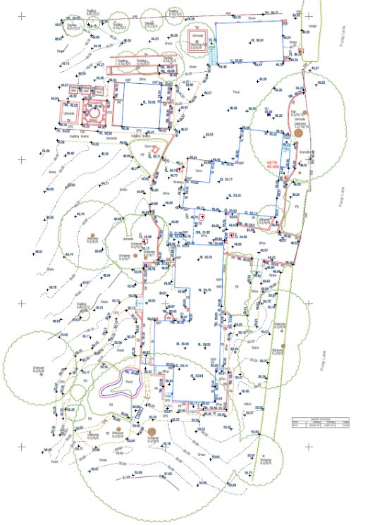
2D CAD provides you with a detailed visual representation of existing designs that help in the planning process. This helps avoid changes before the construction process begins, saving you time and money.
Improve your design accuracy, enhance communication reduce mistakes with our drawings today!
THE BENEFITS OF CAD DRAWINGS
- Highly accurate plans, elevations and section drawings
- Full range of LOD (Level of Detail) options to customise the output
- 2D or 3D CAD suitable for architectural design and planning applications
- Rigorous quality assurance process to ensure accuracy
- Fast turnaround
- Unbeatable value
OUTSOURCING YOUR CAD DRAWINGS TO US
Typically our CAD data is derived from our measured building survey, laser scanned or topographical survey data. However, we often work with third-party survey information too.
Outsourcing your CAD drawings to us can be a cost effective solution to save you time and money.
Our experienced CAD team can support you either as a fully-managed external department, tailored to fit your standards and guidelines or simply as overflow when you have peak times and are unable to cope with the workload.

DEFINING LEVEL OF DETAIL
Level of detail (LOD) describes the depth and detail of information included within survey data. Survey data will be either 2D or 3D information, such as 2D CAD drawings and elevations or 3D models.
You can read about level of detail in 2D measured building services, download guides and see LOD projects here.


