Skip to content
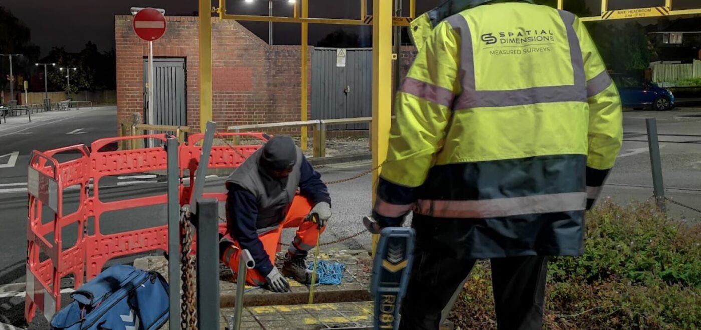
Spatial Dimensions is a UK measured building survey and geospatial company, founded in 2012, carrying out underground utility surveys to BSI PAS 128:2022 from permanent offices in London, Sevenoaks and Nottingham, on site anywhere in the UK.
We are a corporate member of The Survey Association (TSA), ISO 9001:2015 certified, and carry £10 million each of professional indemnity, public and employers liability insurance. Every PAS 128 survey type is delivered in-house, from the desktop records search (QL-D) to trial-hole verification (QL-A).
In short: a PAS 128 survey from Spatial Dimensions locates buried pipes, cables, ducts and drainage to a defined, auditable quality level using electromagnetic location (EML) and ground penetrating radar (GPR), delivered as 2D CAD drawings on a topographical base or as a 3D Revit model. Surveys start at £850.
or call 01732 458799

What is PAS 128?
PAS 128:2022 is the specification for underground utility detection, verification and location, published by BSI (the British Standards Institution). PAS stands for Publicly Available Specification. It defines how a utility survey should be planned, carried out and reported, through four survey types tied to quality levels, so anyone reading the drawing knows what confidence sits behind each line.
Specifying it does two practical things. Quotes become comparable, because every bidder prices the same defined survey types. And the risk of utility strikes falls, because water, gas, electricity, drainage and telecoms are mapped against the design before anyone breaks ground. Spatial Dimensions works to it on everything from single residential plots to live hospital estates.
What are the four PAS 128 survey types?
PAS 128 defines four survey types, each producing utility data at a named quality level (QL): D, C, B and A. Type D is the prerequisite for all the others, and Type C can run alongside Type B in the same visit. Spatial Dimensions delivers all four.
Swipe the table sideways to see all the columns.
| Survey type | Also known as |
|---|---|
| QL-D — Desktop utility search | C2 search, safe dig pack, utility stats pack |
| QL-C — Site reconnaissance | Visual inspection survey |
| QL-B — Detection survey | Full utility mapping survey |
| QL-A — Verification | Utility verification survey |
What is a PAS 128 Type D survey (QL-D)?
A Type D survey is a desktop utility search. Spatial Dimensions requests asset records from the utility, telecom and pipeline companies covering your site, and our CAD team collates them onto a single Ordnance Survey background, issued as a digital job pack. Interim report within 3–5 working days of instruction; full report within 10.
What is a PAS 128 Type C survey (QL-C)?
A Type C survey is site reconnaissance: a surveyor identifies visible utility features — manholes, valve covers, marker posts — to check the records collected at Type D. No detection equipment or excavation is involved, and we usually run it alongside a Type B survey in the same visit. See also our visual inspection surveys.
What is a PAS 128 Type B survey (QL-B)?
A Type B survey is the full utility mapping survey most people mean by “a PAS 128 survey”. Spatial Dimensions scans the site with two technologies: electromagnetic location (EML), which traces the field around live cables and metallic pipes and follows non-metallic ducts using a flexi-trace rod, and ground penetrating radar (GPR), which finds non-metallic pipes, buried slabs, voids and rebar.
What is a PAS 128 Type A survey (QL-A)?
A Type A survey exposes the service by vacuum excavation or hand-dug trial holes and confirms its position and depth visually, following HSE guidance HSG47, Avoiding Danger from Underground Services. It is the highest quality level in PAS 128, and Spatial Dimensions delivers it as a utility verification survey at the points where excavation cannot tolerate uncertainty.


How accurate is a PAS 128 survey?
Where Spatial Dimensions detects a service with both EML and GPR, its depth is accurate to within ±15%. With a single technology the tolerance widens to ±40% — which is why our standard QL-B methodology uses both across the site.
The limits below apply to every surveyor, so we state them plainly:
- A detection survey can locate up to about 95% of buried utilities; 100% detection is not feasible, whoever you appoint.
- Small-diameter fibre optic cable laid directly in the ground is likely to be undetectable; metal-sheathed fibre can be found by EML and GPR.
- A service buried within 25 cm of a surface obstruction — a wall, a skip, a parked car — may go undetected.
- Reinforcing grids in concrete impair GPR penetration, and a single drawn line can represent several cables or ducts sharing a trench.
Sub-surface position and depth can never be guaranteed, so verify results independently before finalising designs or excavating — and where residual uncertainty is unacceptable, that is what QL-A is for.
Why does a PAS 128 survey need a topographical survey base?
Because PAS 128 quality-level requirements cannot be met on an OS map base — an OS base carries far less detail, and the reliability of every plotted service depends on the base it is drawn on.
Spatial Dimensions plots detected utilities on a topographical survey captured with calibrated robotic total stations and multi-frequency, data-corrected GPS. A suitable existing topo can be used instead, though accuracy then depends on that survey’s control; if none exists, we survey the base first as stage one.

How do I specify a PAS 128 survey?
State two things: the survey types you need (D, C, B, A or a combination) and the level of detail you expect in the deliverables. PAS 128’s client guide and The Survey Association’s guidance notes are worth reading before writing a brief, and our own Guide to Specifying an Underground Utilities Survey is free to download from our guides page.
Accuracy needs are rarely uniform — identify what each area of the project requires, such as QL-B mapping site-wide with QL-A verification only where piling will happen. Spatial Dimensions will propose a methodology to meet those quality levels, in writing, before you commit. If you are not sure, tell us what the project is and we will say plainly which survey types it needs, and which it does not.
What deliverables will I receive?
Deliverables vary by survey type and are stated in the specification.
Swipe the table sideways to see all the columns.
| Survey type | Standard Spatial Dimensions deliverable |
|---|---|
| QL-D desktop search | Digital job pack — all statutory records collated onto a single OS background |
| QL-B / QL-C detection | 2D CAD drawing (.DWG) of every detected service, overlaid on the topographical base |
| QL-A verification | Confirmed position and depth for each exposed service, added to the survey record |
| Any type, on request | 3D BIM-compatible Revit model — chambers, pipes and ducts modelled — or 3D in AutoCAD |
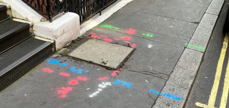
Detected services are marked on the ground in temporary biodegradable spray paint as standard — see site mark outs. Drainage runs needing internal inspection are covered by CCTV drainage surveys.
How long does a PAS 128 survey take?
A PAS 128 survey runs as consecutive stages.
- Desktop utility search (QL-D) — interim report in 3–5 working days; full report up to 10.
- Topographical survey — the base the detection survey is plotted on, newly surveyed or synchronised with yours.
- Detection survey (QL-B, with QL-C) — on site once the base and statutory records are in place.
- Verification (QL-A) and CCTV drainage — where specified; CCTV is quoted after the topo, priced on the number of manhole covers identified.
Spatial Dimensions mobilises in an average of 5.3 working days from instruction; larger sites can need more than one visit. Tell us your deadline at enquiry stage and we will build the programme around it.
Who commissions PAS 128 surveys from Spatial Dimensions?
Main contractors before excavation and piling, architects, planners and engineers during design, and consultants assembling development sites.
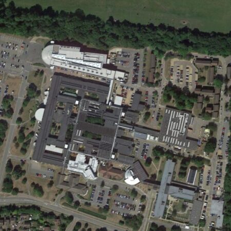
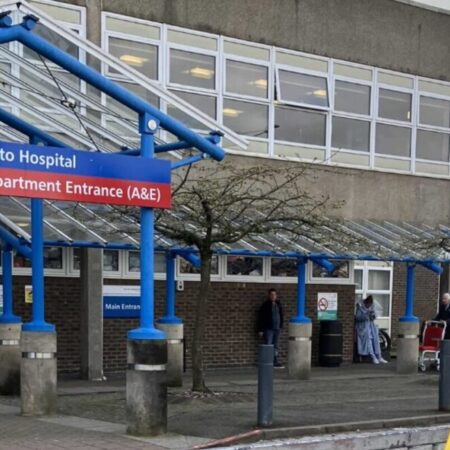
Spatial Dimensions has delivered PAS 128 utility surveys at Basildon University Hospital, Kent and Canterbury Hospital, QEQM Hospital, Southend University Hospital, William Harvey Hospital, Hinchingbrooke Hospital and Bracknell Healthspace; at schools and colleges including Dulwich Prep School, Wrotham School, Dover College, Canterbury College and West London College; at Unity Campus and Broadwalk House; and on RAF bases.
Our resource pages show how utility data fits your workflow: architects, planners, contractors and consultants.
How much does a PAS 128 survey cost?
A PAS 128 survey from Spatial Dimensions starts at £850. Most PAS 128 surveys fall between £1,200 and £3,500, depending on the area surveyed and the quality level specified. QL-A verification is priced separately, per trial hole, from £350.
The price depends on the area surveyed, the survey types specified (records search alone, QL-B detection, or QL-A verification), whether a suitable topographical base exists, traffic management where the survey enters the highway, and chamber conditions — quotes assume NC1 low-risk chambers.
Spatial Dimensions quotes a fixed price against a written specification stating the survey types, quality levels, area and deliverables, so the number does not move afterwards.
For a fixed price, send us the site address, the approximate area and which quality level you need. We will come back with a written quote within 24 hours. All prices exclude VAT.
or call 01732 458799.
Frequently asked questions
What does PAS 128 stand for?
Publicly Available Specification. PAS 128:2022, published by BSI, is the specification for underground utility detection, verification and location. It is often called a British Standard as shorthand, but strictly a PAS is a BSI specification rather than a full British Standard — hence PAS, not BS.
What is the difference between a QL-B and a QL-A survey?
QL-B locates services from the surface with EML and GPR — whole-site coverage, no excavation. QL-A exposes the service by vacuum excavation or trial holes and confirms position and depth visually under HSG47. QL-B maps the site; QL-A removes remaining doubt at the points that matter most.
Do I always need a desktop utility search first?
Yes. Type D is the prerequisite for every other PAS 128 survey type, and the statutory records must be in hand before the survey completes — without them, Spatial Dimensions and its professional indemnity insurers cannot accept responsibility for the survey information. You can obtain the records or commission us to.
Can a PAS 128 survey be delivered on an OS map base?
No. The quality levels cannot be met on an OS map base — detected services must be plotted on a topographical survey, either newly surveyed by Spatial Dimensions or a suitable one you supply.
What depth accuracy will I get?
Depth to ±15% where EML and GPR both confirm a service; ±40% from one technology alone. Expect up to about 95% of utilities to be located, and specify QL-A verification where that is not enough.
Is PAS 128 a legal requirement?
No. PAS 128 is a specification you choose to work to, not legislation. HSE guidance HSG47 does expect buried services to be identified and located before ground is broken — and a PAS 128 survey is the clearest way to show that was done properly.
Request a PAS 128 survey quote
Send us the site address, the approximate area and which quality level you need — or just tell us what the project is and we will say which survey types it needs. Spatial Dimensions will reply with a written, fixed-price quote within 24 hours.
Phone: 01732 458799
Offices: London · Sevenoaks · Nottingham · working nationwide
Related services
- Underground utility surveys — the parent service and hub
- Desktop utility searches (QL-D) — statutory records, the prerequisite stage
- Visual inspection surveys (QL-C) — site reconnaissance
- GPR surveys — QL-B detection
- Electromagnetic location surveys — QL-B detection
- Utility verification surveys (QL-A) — trial holes and vacuum excavation
- CCTV drainage surveys — internal drainage inspection
- Site mark outs — marking services before excavation
- Topographical surveys — the base every PAS 128 survey needs