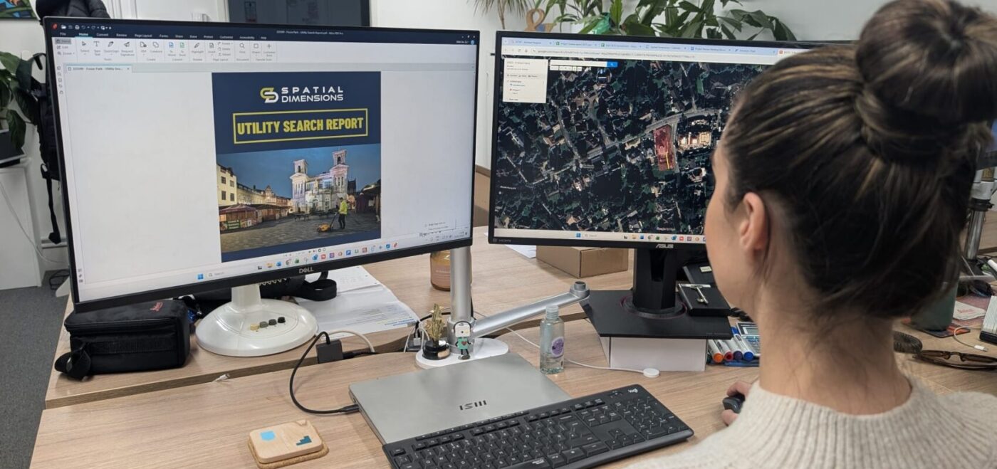
A Desktop Utility Search, also known as a PAS 128 Type D survey, is the essential first step in any underground utility mapping process. It’s a desk-based investigation that gathers existing utility records from statutory undertakers, local authorities, and network providers to identify buried services such as gas, water, electricity, drainage, and telecommunications. By compiling and analysing this data, our team produces a comprehensive utility mapping report that shows the likely positions of underground assets before any on-site work begins, helping you plan your project with confidence and accuracy.
WHY IS A DESKTOP UTILITY SEARCH NEEDED?
Commissioning a Desktop Utility Search early in your project is vital for reducing risk, preventing costly utility strikes, and ensuring CDM compliance. Understanding the location of underground infrastructure allows you to design safely, avoid delays, and budget more accurately. Our PAS 128-compliant Desktop Utility Search provides clear, reliable information that supports every stage of development — from planning and design through to excavation and construction. Whether you’re a developer, engineer, or contractor, our Desktop Utility Search gives you the insight you need to build safely, efficiently, and in full compliance with industry best practice.
STANDARD C2 SEARCHES
£450 – NO HIDDEN FEES
ALL MAJOR UNDERGROUND UTILITIES *
QUICK TURNAROUND
* Includes water, drainage, gas, electricity and BT Openreach
* One order is up to an area of 1km². Anything over will require another search.
ENHANCED C2 SEARCHES
+ £175 – NO HIDDEN FEES
INDEPENDENT UTILITIES & COMMUNICATIONS*
QUICK TURNAROUND
* Independent utilities
* One order is up to an area of 1km². Anything over will require another search.
INCREASE ON SITE SAFETY
EASILY ACCESSIBLE INFORMATION
MINIMISE CHANCE OF HITTING EXISTING UTILITIES
SAVE CLIENTS TIME AND MONEY
HOW CAN A DESKTOP
UTILITY SEARCH BENEFIT YOU?
Desktop Utility Searches can significantly help our clients by ensuring a comprehensive understanding of the existing underground utilities at a specified site. This is done before any physical work starts, helping site visits be more efficient.
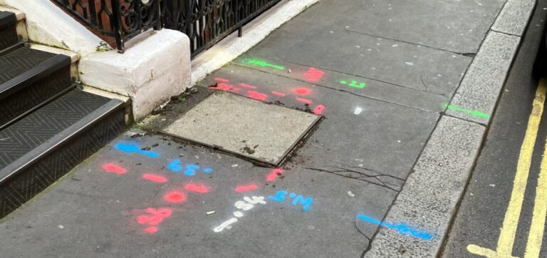
Combining Desktop Utility Searches with other underground utility surveys ensures safety during a visit. GPR (ground penetrating radar) and EML (electromagnetic location) surveys play an important role in this process.
Desktop Utility Searches ensure our clients have access to vital information, which eradicates the risk of damage to existing underground structures.
Having a readily available bank of information also has positive long-term effects. This could be utilised for any revisits to the project site, mapping services or educational purposes
WORKING TO YOUR SPECIFICATIONS
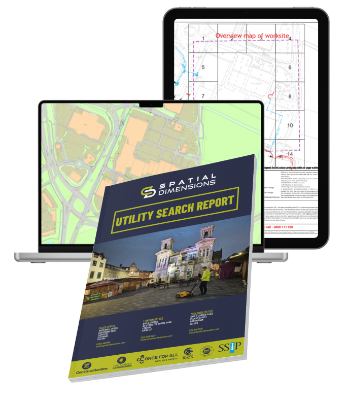
We take pride in delivering accurate and comprehensive surveys for every client. Our Desktop Utility Searches include statutory utility record searches for a detailed understanding of buried site services.
We contact utility, telecommunication, and pipeline companies to collect essential asset information within the proposed site area. Our skilled CAD team overlays this data onto an OS base map, creating a clear visual utility layout. This display provides valuable insights for route planning and desktop assessments. It helps operatives quickly gauge site congestion and identify the position of each cable or pipeline.
Every map considers surrounding site features for greater accuracy. Our precision ensures you receive a complete digital job pack with all required details.
We use statutory records and as-built data to support on-site surveys and verify service locations. These records also help identify possible undetected utilities within the survey area.
If records are not supplied, we cannot include their data or note unverified underground assets in the final report.


 Skip to content