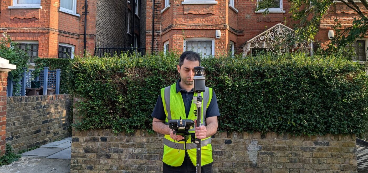
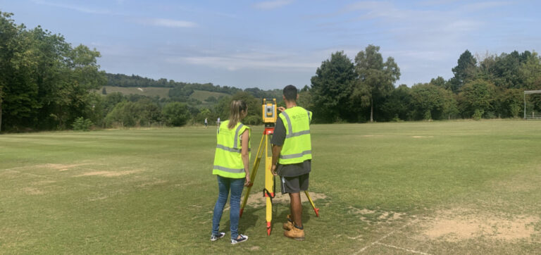
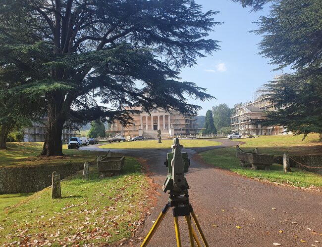
Topographical surveys (sometimes known as land surveys, site surveys, topos, or level surveys) are effectively a bird’s eye view or large-scale map of an area of land.
It is also a vital requirement during the early stages of any development.
A topographical land survey will typically include the footprint of the existing buildings and structures, trees, boundary details, ground surfaces, service covers, basic drainage details and detailed level information.
A topographical survey details the natural and built environment and can have a significantly positive impact on the development and progress of any project. It is therefore vitally important that they are carried out in a timely and efficient manner, with the appropriate level of accuracy.
We also tailor our surveying services to fit our clients’ needs, so additional information such as the features adjacent to the site or underground services can be included.
Looking for more info? Contact us or follow the ‘Get A Quote’ form above!
THE BENEFITS OF TOPOGRAPHICAL SURVEYS
Highly detailed and accurate maps of land
Establishes a primary survey control network for all phases of your development
Confirms precise features such as trees, drainage covers, boundary positions and more
Formatted with high quality 2D or 3D linework with 3D points
Delivered in AutoCAD and/or REVIT
Fast mobilisation
Quick turnaround
WHY CHOOSE SPATIAL DIMENSIONS FOR YOUR TOPOGRAPHICAL SURVEYS?
Our surveying teams are experts in topographical surveys. By choosing Spatial Dimensions for your topographical surveys you can put your mind at rest. We get it right first time, every time!
We understand the need for quick, reliable and cost effective survey data for all of our clients.
As well as our knowledge, we comply with all the latest health and safety legislation and certifications. Most importantly, we put our clients at the heart of everything we do.
")


 Skip to content