 Skip to content

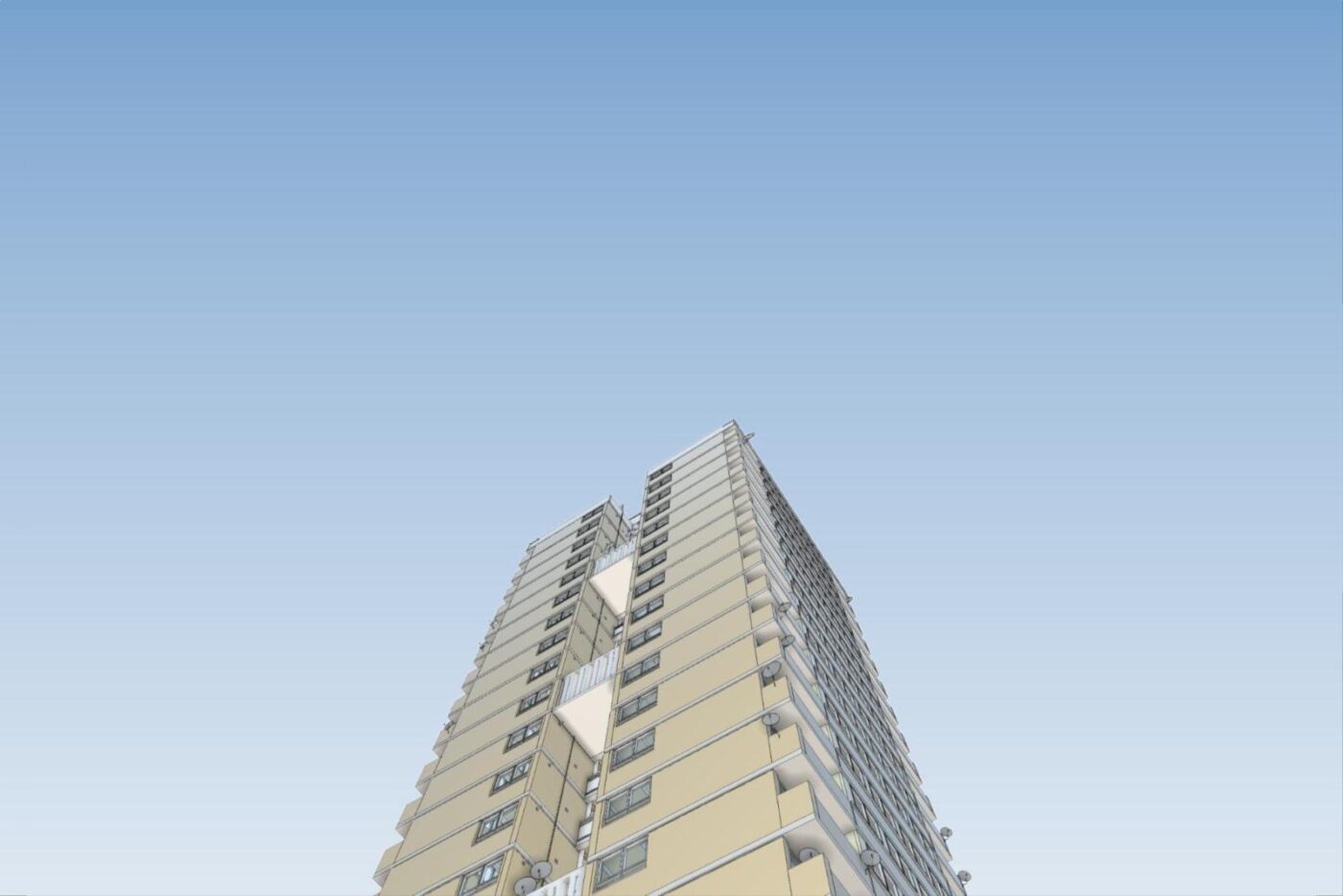
A construction verification survey checks that what has been built matches what was designed. Spatial Dimensions laser scans the built work, compares it against the design model or construction issue drawings, and reports the result as a colour-coded variance heatmap, a compliance report and as-built drawings. That gives contractors and clients dated, independent evidence for the as-built record that Gateway 3 asks for. Construction verification starts from £850, excluding VAT.
What has happened with the building safety gateways?
The gateways have been in the news from both directions this month.
On 7 October, Building reported that the Conservative shadow housing minister, Gareth Bacon, called the Building Safety Regulator a huge impediment to growth. He said a future Conservative government would look to reform the regulator, which was brought in to oversee the construction of high-rise buildings after the Grenfell Tower fire.
A few days later, on 12 October, the same publication reported that McLaren has been given Gateway 2 approval by the regulator for the next phase of the £350m rebuild of the Ebury Bridge estate in Pimlico, with 330 homes in this phase. Westminster City Council’s second phase is worth £229m.
The Building Safety Levy also came into force on 1 October, adding a new cost to development.
We’re not taking a side on how the regime should change. However, for everyone delivering a higher-risk building now, the gateways are the rules that apply.
What are the gateways, and which buildings do they cover?
The gateways are three stop-go checkpoints for higher-risk buildings: one at planning, one before building work starts and one before anyone moves in. Gateway 2 is building control approval before work begins. Gateway 3 is the completion certificate that has to be in place before a new higher-risk building can be occupied.
For design and construction, the government’s guidance defines higher-risk buildings as buildings with at least two residential units, care homes and hospitals that are at least 18 metres tall or have at least seven storeys.
 READ NEXTHOW DOES LASER SCANNING BENEFIT THE OFFSITE CONSTRUCTION INDUSTRY?
How do surveys help at Gateway 2?

They give the design an accurate record of what is already there, which matters most when the work is to an existing building. Gateway 2 isn’t only for new buildings. The government’s guidance says building work to an existing higher-risk building needs the regulator’s approval before it starts, apart from a few exempt types of work such as emergency repairs.
That application has to explain how the effect of the work on the building was assessed. The guidance asks for surveys, inspections or building information checks as evidence, and says to avoid assumptions. Where an assumption can’t be avoided, it has to be explained with evidence from surveys and inspections.
For refurbishment, cladding replacement or conversion of a tall residential building, that starts with drawings of the building as it really stands, not as the original drawings say it was built. Spatial Dimensions produces measured building surveys and as-built drawings of existing buildings, and can add a 3D Revit model of the existing structure.
For a new building, a topographical survey and measured surveys of neighbouring buildings mean the design submitted for approval fits the real site. The setting-out control laid down before work starts is the same control the verification surveys use later, so the evidence for Gateway 3 starts at Gateway 2.
What does Gateway 3 ask for?
Gateway 3 asks the client to show that the building as built meets the building regulations. According to the Building Safety Regulator’s own guidance, the completion certificate application is supported by as-built drawings, fire and structural safety information, the golden thread of building information, and evidence that design changes made since Gateway 2 were assessed and managed.
The golden thread is the digital record of the building’s safety information, kept accurate and up to date through its life. The regulator’s guidance says undocumented or unjustified changes made after Gateway 2 are a common cause of delay at Gateway 3.
That is the practical point. A gateway application is only as good as the evidence behind it, and evidence gathered at the end of a job is much harder to produce than evidence gathered as it goes.
PLANNING A PROJECT?
Tell us about your site and what you need, and we will come back to you with a quote.
How does construction verification help?
It gives the project dated, independent evidence of what was actually built, at the moments that matter. Spatial Dimensions produces construction verification reports in four steps:
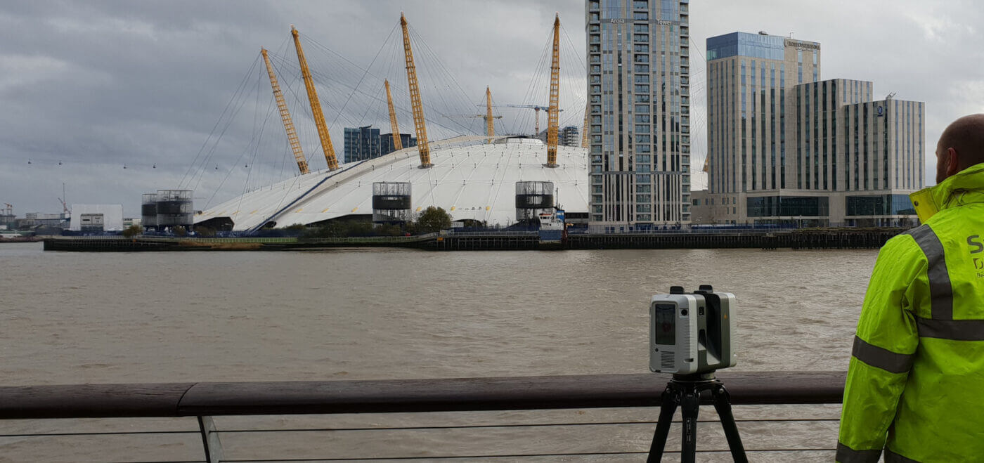
- Scan the built element. A surveyor laser scans the frame, slab, facade or cladding system, capturing millions of measured points from a safe distance without holding up a live site.
- Tie the scans to control. The scans are registered on a closed-loop control network, anchored to Ordnance Survey benchmarks unless a local site grid is needed.
- Compare against the design. The point cloud is checked against the design model or the construction issue drawings, the drawings the work was built from.
- Report. You receive a variance heatmap, a statistical summary of the deviations and as-built drawings.
The heatmap uses a traffic-light convention: green within the agreed tolerance, amber close to the limit, red outside it. Each colour is tied to a stated deviation range, so the picture and the numbers agree.
Where Spatial Dimensions also provides the setting out, verification uses the same control the work was set out from. Design and as-built are then compared on one coordinate system, not two.
When should verification happen?
Before the next trade covers the work up. Spatial Dimensions carries out verification at agreed hold points during construction, such as a frame before it is clad, a slab before fit-out, or cladding before handover, and again at completion.
That builds the as-built record stage by stage. In fact, it is far easier to fix an error found at a hold point than one found at handover, when it can turn into a claim. It also means the evidence for change control exists at the time the change happens, which is exactly where the regulator says applications fall down.
What does it cost?
Spatial Dimensions prices each element separately, so you can see what you are paying for.
The ranges are the span across each whole service, not one job. All prices exclude VAT. We will come back with a written quote within 24 hours.
What can’t construction verification do?
It checks geometry: whether the built work is where the design says it should be, and within the agreed tolerance. That is valuable evidence, but it is only one part of what a gateway application needs, and it is worth being plain about the limits.
A verification survey doesn’t test fire performance, check that the right materials were installed, or inspect workmanship hidden inside a wall or behind a cladding panel. Those need the fire engineer, the building control team, the manufacturer’s records and the contractor’s own quality checks. A laser scan records visible surfaces only.
Verification is also a point-in-time check. It answers whether the work matches the design today. If you need to track movement or deformation over weeks or months, near an excavation or during works to an existing structure, that is a monitoring survey, and Spatial Dimensions will tell you plainly which your project needs.
Used for what it is good at, though, verification gives the project something hard to produce any other way: a dated, measured, independent record of the build as it went up.
What does this mean for contractors and architects?
It means planning the evidence at the start, not the end. In practice, three things help.
First, agree the hold points for verification when the programme is set, so the survey is booked before the work is covered. Second, keep setting out and verification on the same control, so there is one coordinate system for the whole job. Third, ask for the outputs in formats that sit naturally in the golden thread: dated reports, point clouds and as-built drawings that can be found again in five years.
Spatial Dimensions has had no RIDDOR-reportable incidents since the company was founded in October 2012, and Spatial Dimensions personnel hold CSCS cards and are DBS checked and BPSS security cleared.

“Whatever anyone thinks of the gateways, they are the rules we build to today. The question at the end is always the same: can you show what you built? The easiest way to answer it is to check the work as it goes up, not to go looking for the evidence after the event.”
Claire Fenwick
Managing Director, Spatial Dimensions, and President of the Geospatial Survey Association
Construction verification survey FAQs
What is a construction verification survey?
It is an independent check that the built work matches the design. Spatial Dimensions laser scans the work and compares it against the design model or construction issue drawings, reporting the result as a variance heatmap and compliance report.
What is Gateway 2?
Gateway 2 is building control approval from the Building Safety Regulator before building work starts on a higher-risk building. The client has to show that the design meets the building regulations, and work cannot start until the regulator approves it. Changes made to the design after approval have to be recorded and managed, which is the evidence Gateway 3 then asks for.
What is Gateway 3?
Gateway 3 is the final building safety checkpoint before a new higher-risk building can be occupied. The client applies to the Building Safety Regulator for a completion certificate, supported by as-built information and the golden thread.
Which buildings do the gateways apply to?
For design and construction, they apply to buildings with at least two residential units, care homes and hospitals that are at least 18 metres tall or have at least seven storeys.
When should construction verification be carried out?
At agreed hold points before the next trade covers the work, such as a frame before cladding or a slab before fit-out, and again at completion.
What does a construction verification report include?
A colour-coded variance heatmap, a statistical compliance report, as-built drawings and records, and the point cloud itself. An as-built Revit model can be added.
How much does construction verification cost?
Spatial Dimensions construction verification starts from £850, and most jobs fall between £950 and £2,500, excluding VAT. We send a written quote within 24 hours.
Spatial Dimensions has worked on construction sites since 2012, with permanent in-house teams of surveyors, CAD and Revit technicians and project managers. We never subcontract our core work. We work from offices in Sevenoaks, London and Nottingham, on sites across the UK. Our Managing Director, Claire Fenwick FCInstCES, is President of the Geospatial Survey Association. Call us on 01732 458799 or get in touch.
Download our Level of Detail in 2D Measured Building Surveys guide, which explains what detail to ask for in drawings of an existing building.

 DEVELOPER
 CONSULTANT
 ARCHITECT
 ENGINEER
 SURVEYOR
 PLANNER
 CONTRACTOR
 ESTATE AGENT
 LAWYER
 HOMEOWNER