 Skip to content
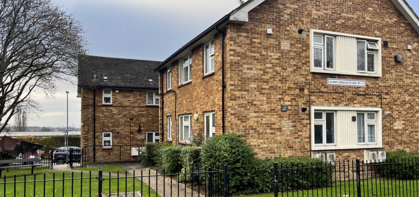
THE BRIEF
When it comes to energy efficiency, Portsmouth City Council are one of the UK’s leading local authorities.
The City Council is aiming the for the whole of Portsmouth to be net zero by 2030. To do this, reducing carbon emissions and waste is of the upmost importance.
Portsmouth City Council highlighted the opportunity in reducing carbon emissions on residential properties through retrofitting new technologies. Not only would this help reduce carbon emissions emitted from houses, but decrease energy bills during the current cost of living crisis.
OUR WORK
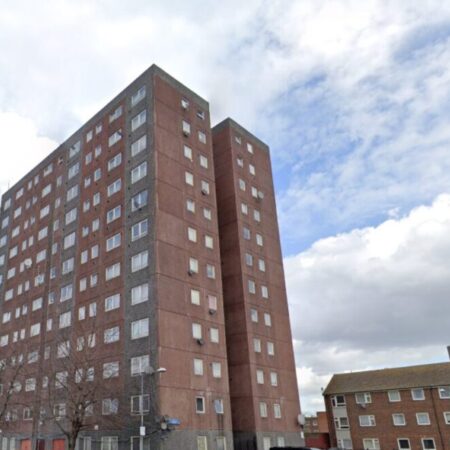
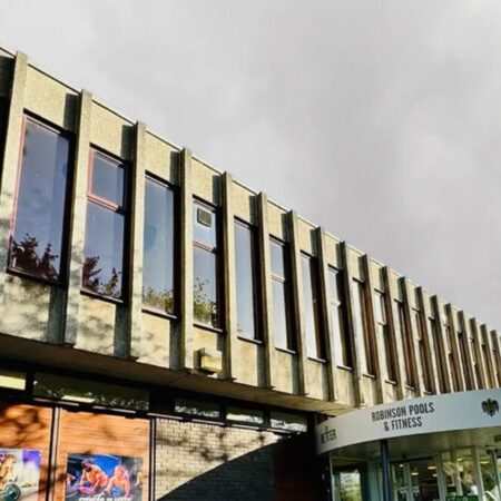
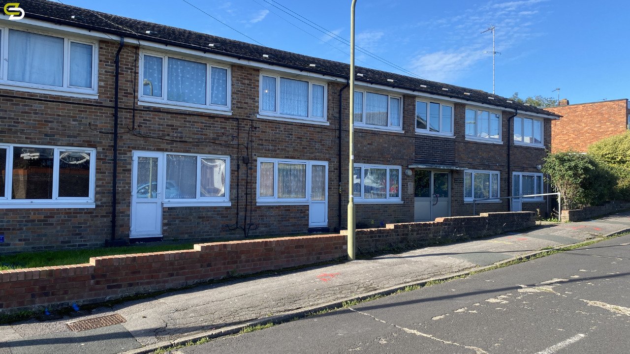
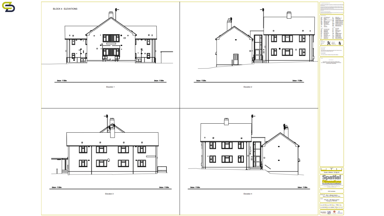
Spatial Dimensions completed measured surveys, underground utility surveys and 3D models of around 150 property archetypes over 19 different sites.
There were a range of housing types including blocks of flats, semi-detached and terraced housing. The ages of the buildings ranged from 1880 to 1973. This meant our teams had to be extra vigilant when on site, as layouts and quality of builds would vary from plot to plot.
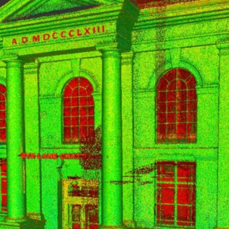
Spatial Dimensions completed the measured surveys using laser scanners. The laser scans were controlled with total stations to the Ordnance Survey datum. We also used underground utility surveys to locate all buried services or sought features using a combination of electromagnetic detection and ground penetrating radar methods.
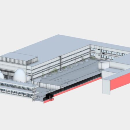
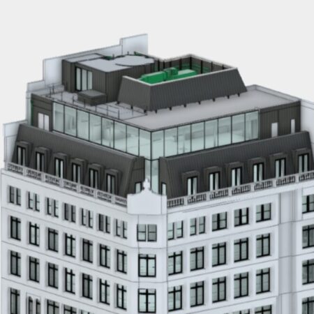
Point cloud data from the laser scanners was used to create 3D models. The main sections of the project were delivered in LOD 3 as well as the topography and underground utility. This helped with the planning and visualisation of the corresponding retrofit work.
THE OUTCOME
The work carried out was delivered on time.
All relevant work was delivered to extremely satisfied clients.
At the time of writing all work is on schedule.


