THE BRIEF
Iron Mountain is a multinational company with over 50 locations globally. In March 2024, we were instructed to carry out work at their London headquarters, just east of Woolwich, by Adept Civil and Structural Consulting Engineers.
Our surveying team were advised there may be movement in the concrete area running adjacent to the main building before our visit. As we were aware of the worsening condition, it was important to act quickly and accurately on-site to provide all possible information to our client.
OUR WORK
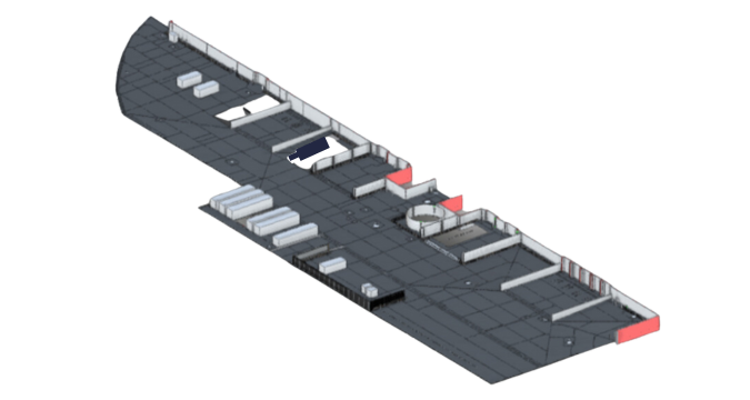
We mapped the concrete slabs surrounding the building foundations to highlight the changes in levels as our client suspected that the slabs were sinking. Heat maps were created to show the changes in level over this area (as shown).
A topographical survey was carried out to create accurate 2D CAD drawings and a 3D model in the form of a Toposurface through Revit. This would help our client, and end client make informed decisions with visual representations. This includes a footprint of the building, steps, manhole covers, gullies and where the concrete section starts and finishes.
One of our underground teams attended the site to carry out essential work. This included a full tracing of all services locating all utilities and all underground methods to locate the services. A desktop study retrieved all relevant stats information and a CCTV survey used a crawler unit to survey drainage systems in the assigned area.
The underground and topographical teams worked simultaneously to ensure a quick turnaround.


