ROBINSON POOLS & FITNESS
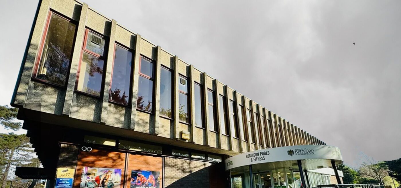
THE BRIEF Robinson Pool is a flagship leisure centre in the heart of Bedford. It offers swimming pools, gyms, studios, and leisure spaces to the community and welcomes hundreds of visitors each day. This an example of how leisure centre surveys are becoming increasingly important. Bedford Borough Council committed to a £1.3 million investment and […]
CAMBRIDGE RETROFIT PROJECT
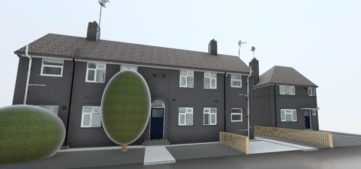
THE BRIEF Retrofit practices lie at the core of sustainable development. It’s estimated around 7 million new homes will be needed across the UK by 2050. Simply building new homes isn’t the answer. We must also look at upgrading our existing housing stock so they are liveable, affordable and efficient. This is where retrofitting comes […]
CAMDEN RETROFIT PROJECT
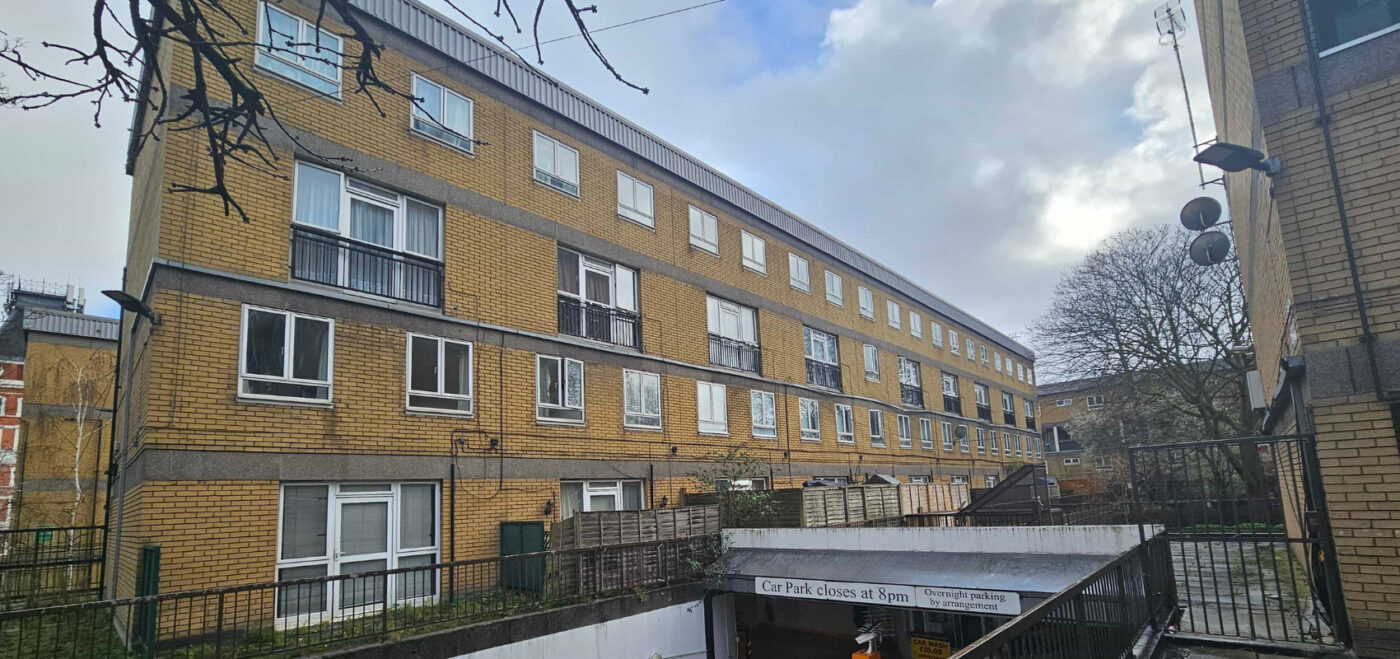
THE BRIEF Camden Council owns approximately 33,000 properties in the North London Borough. In 2019, Camden Council announced a climate emergency and committed to reaching net zero by 2030 (20 years before the full UK government’s plan). Aside from this, they highlighted that 10,000 homes in Camden are living in fuel poverty, with the number […]
KENT RETROFIT PROJECT
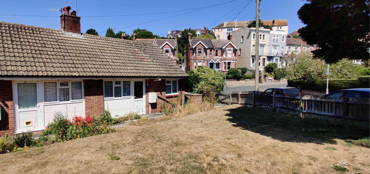
THE BRIEF The Social Housing Decarbonisation Fund (SHDF) wave 2.1 was a government funding scheme offering up to £800 million across the country. The fund aimed to: Deliver warm, energy-efficient homes Reduce carbon emissions Tackle fuel poverty Support green jobs Develop the retrofit sector Improve the comfort, health and well-being of social housing tenants […]
PORTSMOUTH RETROFIT PROJECT
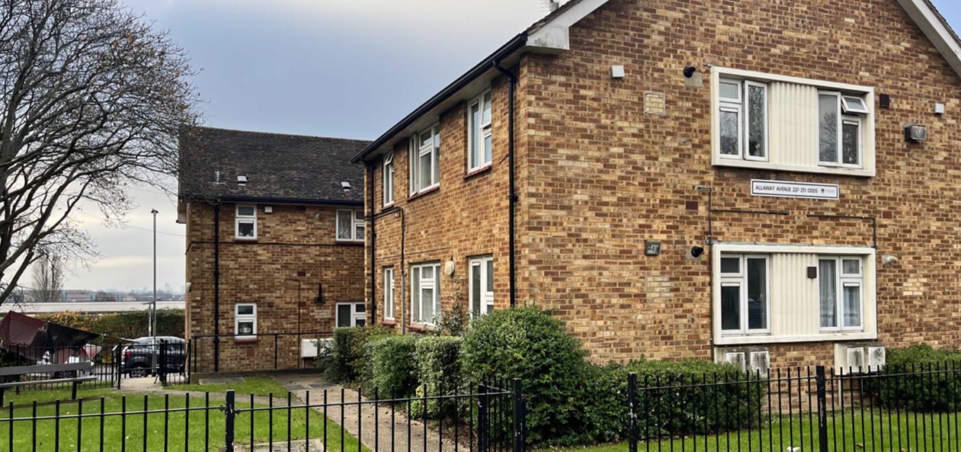
THE BRIEF When it comes to energy efficiency, Portsmouth City Council are one of the UK’s leading local authorities. The City Council is aiming the for the whole of Portsmouth to be net zero by 2030. To do this, reducing carbon emissions and waste is of the upmost importance. Portsmouth City Council highlighted the opportunity […]
THE NETHERFIELD ESTATE
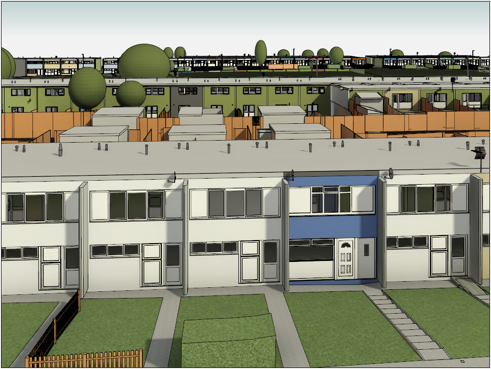
MEASURED SURVEYS ON 304 HOMES TO ENALE A FABRIC FIRST RETROFIT AS PART OF THE SHDF WAVE 1 SCHEME.
WORSHIPFUL COMPANY OF INNHOLDERS

FULL MEASURED SURVEY OF GRADE 2* LISTED SCHEDULED ANCIENT MONUMENT IN LONDON
HOLIDAY INN BIRMINGHAM AIRPORT

MEASURED BUILDING SURVEY OF THIS 241 KEY AIRPORT HOTEL
LEWIS’S BUILDING
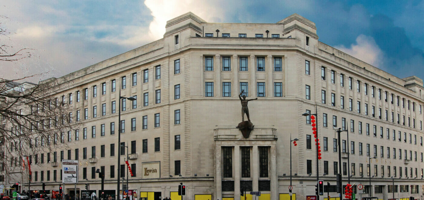
BRINGING AN ICONIC CITY LANDMARK INTO THE 21st CENTURY!
1 FINSBURY AVENUE

LASER SCANNING & DETAILED 3D MOEL OF THIS 3,000m2 OFFICE IN CENTRAL LONDON