Skip to content
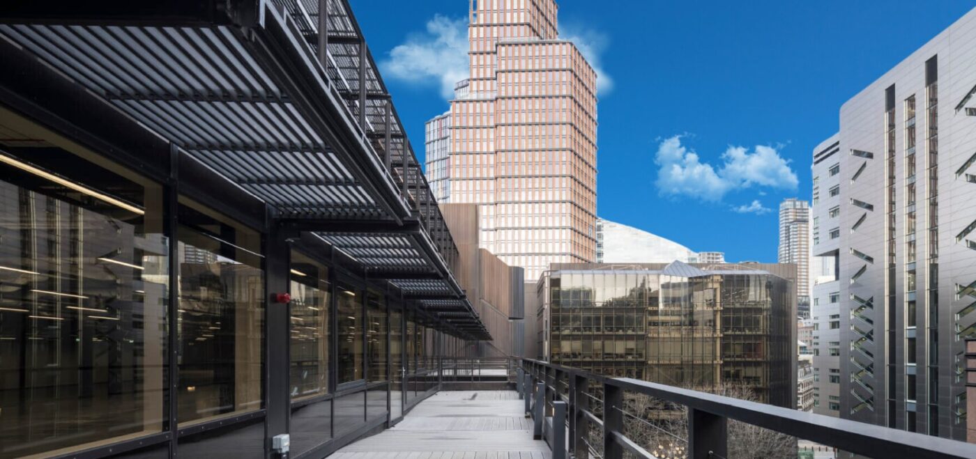
Spatial Dimensions has surveyed commercial office buildings since 2012, for landlords, developers, architects and fit-out contractors. Recent work includes 4 Millbank, Battersea Power Station, 1 Vine Street, St Paul’s Churchyard, 77 Farringdon Road, Broadwalk House, Aztec West and Unity Campus.
We work from offices in London, Sevenoaks and Nottingham and survey commercial buildings nationwide.
In short: Spatial Dimensions provides measured building surveys, laser scanning, area referencing to RICS and IPMS standards, and 3D Revit models for commercial office buildings. We work out of hours as standard so tenanted floors are not disturbed, we mobilise in an average of 5.3 working days from instruction, and we return a written fixed-price quote within 24 hours. Measured building surveys start at £850 and area referencing reports at £250.
or call 01732 458799
What are office measured surveys used for?
Four things, mostly. Repositioning an ageing building for re-letting. Cat A and Cat B fit-out. Verifying floor areas for a lease, a rent review or a valuation. And establishing an accurate base model before a major refurbishment or extension.
Almost all of Spatial Dimensions’ commercial office work is on existing buildings rather than new build — of the nineteen commercial projects on our register, thirteen are refurbishments or retrofits. The pattern is consistent: the landlord holds drawings that no longer match the building, and every design decision after that point depends on fixing it.
Aztec West: could it take another storey?
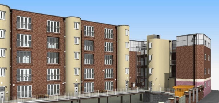
Working for developers CEG, the question at Aztec West in Bristol was whether the existing structure could be built on rather than knocked down. Spatial Dimensions modelled the building in Revit at LOD 4, showing steel bolts, connectors and plates, so the engineers could assess the real capacity of what was already there.
It could. That saved the building from demolition and avoided the embodied carbon of a rebuild.
Which office buildings has Spatial Dimensions surveyed?
Swipe the table sideways to see all the columns.
| Building | Project type | Working with |
|---|---|---|
| 4 Millbank | Retrofit of an existing building | JLL, Murray Birrell, Sandberg |
| Battersea Power Station | Measured building survey of the Engine Room across several floors | Bowman Riley Architects |
| 1 Vine Street, Mayfair | 17,500 sq ft refurbishment — two floors plus a new ground floor reception | Collins Construction, Basha-Franklin |
| 1 Finsbury Avenue | 3,000 m² office, LOD 4 model of architecture, structure and MEP | — |
| St Paul’s Churchyard | Retrofit of an existing building | EPR Architects, Gardiner & Theobald |
| 77 Farringdon Road | Retrofit while fully operational | David Miller Architects |
| Broadwalk House, Exeter | 7,500 m² lateral building with two underground car parks | AtkinsRéalis, Cartwright Pickard, Castleforge |
| Aztec West, Bristol | Retrofit — could the structure take another storey? | CEG, Scott Brownrigg |
| Guildford Business Park | Retrofit of an existing building | Twelve Architects & Masterplanners |
| Unity Campus | Development scheme | Coreus Group, TP Bennett |
| Meridian House | Development scheme | Integration, Osel Architecture, The RiverLow Group |
| The Rex | Retrofit of an existing building | HartDixon, Scott Brownrigg |
| Chertsey Road | Retrofit of an existing building | JLL, Scott Brownrigg |
| Festival House | Retrofit of an existing building | AtkinsRéalis |
| 3–10 Market Place | Retrofit of an existing building | AtkinsRéalis, BE Office |
| 77 Gracechurch Street | Development scheme | DDC Limited |
| 46 New Broad Street | Retrofit of an existing building | Area |
| 2 Marylebone Road | Retrofit of an existing building | Swift Refurbishments |
| Bridge House | Development scheme | Avery Real Estate |
Spatial Dimensions has delivered work for major property entities and landlords including The Berkeley Group, British Land, Cadogan, Castleforge Partners and The Portman Estate.
MEASURED SURVEYS FOR
THE OFFICE SECTOR
How can our healthcare brochure help you?
- Hear directly from clients through testimonials
- Explore real case studies from completed healthcare projects
- See the trusted clients we’ve worked including NHS trusts
- Review our accreditations that give you confidence in compliance and quality
- Understand our process and how we deliver accurate, reliable survey data
When it comes to surveying in the healthcare sector, navigating live environments is extremely important. We understand the need for quick data, without sacrificing accuracy. That’s why we’ve become the chosen surveyor for NHS trusts across the country. Learn more about what that means through our downloadable guide.

Which surveys does a commercial office project need?
Swipe the table sideways to see all the columns.
| Survey | What it gives you | Typical use | From |
|---|---|---|---|
| Measured building survey | Floor plans, elevations, sections, reflected ceiling plans | Refurbishment, fit-out, repositioning | £850 |
| Laser scanning survey | High-density point cloud, to the LOD tolerances below | Atria, plant rooms, ceiling voids, occupied floors | £850 |
| Area referencing report | GIA, NIA and GEA calculated to RICS and IPMS | Lease plans, rent reviews, valuations, service charge | £250 |
| 3D models | Revit or IFC model at an agreed level of detail | BIM-led fit-out and clash detection | £500 |
| Topographical survey | Site levels, boundaries, external works | Public realm, extensions, servicing changes | £595 |
| 360° photographic records | Navigable panoramic record | Dilapidations, schedules of condition, remote design review | £500 |
All prices are starting points. Every job is quoted as a fixed price against a written specification.
Can you survey while the building is occupied?
Yes, and most of our commercial work is exactly that. Spatial Dimensions offers out-of-hours working as standard, which on a tenanted office building usually means evenings and weekends. The access window is agreed and priced into the quote, so building management can be notified and lifts, security and cleaning booked around it in advance.
Laser scanning is what makes this practical. A single scan position captures everything visible from that point in a couple of minutes, so a floorplate can be recorded quickly and quietly, and later questions answered from the point cloud rather than by returning to a tenanted floor.
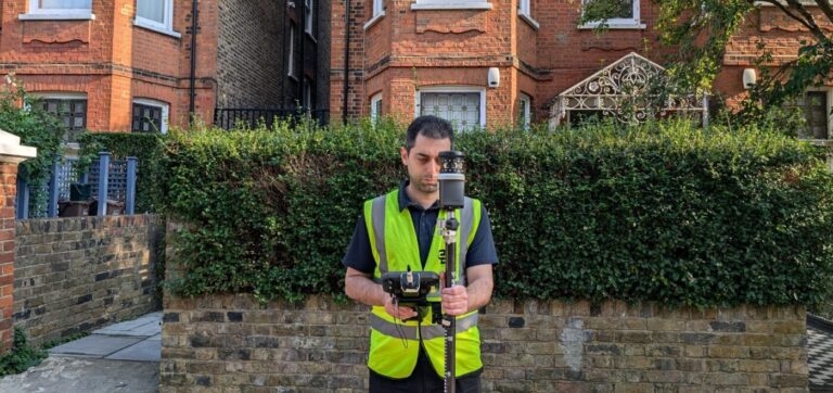
At 1 Vine Street in Mayfair, scanning let us work safely and efficiently inside a busy West End building alongside other site activity, with minimal disruption. At 77 Farringdon Road the building stayed fully operational throughout its retrofit survey.
How do you calculate floor areas for a lease?
To the published standards, and in writing. Spatial Dimensions produces area referencing reports calculating Gross Internal Area, Net Internal Area and Gross External Area in line with the RICS Property Measurement professional statement and the International Property Measurement Standards (IPMS). The reports are underwritten and assignable, which matters when the figure is going to sit behind a valuation or a lease.
Reports start at £250. If the areas in the existing lease do not match the building, we will tell you what the difference is and where it comes from.
How accurate is the data?
Spatial Dimensions works to defined levels of detail rather than a general promise of accuracy.
Swipe the table sideways to see all the columns.
| Level of detail | Scale | Tolerance | What it is for |
|---|---|---|---|
| LOD 2 | 1:100 | ±20 mm | Feasibility, space planning, rights of light |
| LOD 3 | 1:50 | ±10 mm | Detailed design and most refurbishment work |
| LOD 4 | 1:20 | ±5 mm | Heritage fabric, fit-out and off-site manufacture |
Data is captured with Leica equipment including the RTC360, and georeferenced to Ordnance Survey National Grid and Ordnance Datum unless a local grid is requested.
A note on Revit versions. Revit is not backward compatible, so a model built in a newer version cannot be opened in an older one. Spatial Dimensions fixes the target version at quotation stage and delivers in your exact version. It is a small thing that causes a great deal of grief when it is missed.
What credentials does Spatial Dimensions hold?
- ISO 9001:2015 certification, with multi-stage checking on every deliverable
- Constructionline Gold (PAS 91) and Once For All Health and Safety (formerly Acclaim, SSIP)
- The Survey Association (TSA) corporate membership and CICES membership
- £10M professional indemnity, £10M public liability and £10M employer’s liability insurance
- DBS checks and BPSS clearance held in advance for all site staff; CSCS cards for all field personnel
Spatial Dimensions is led by Managing Director Claire Fenwick FRICS FCICES, who is President of The Survey Association.
How long does an office survey take?
Spatial Dimensions returns a written quote within 24 hours and mobilises in an average of 5.3 working days from instruction. Site time depends on floorplate size, the level of detail and how much of the building is accessible in one visit. A single floor is usually a day; a whole building is a programme, and we will set that out in the quote.
How much does an office survey cost?
Measured building surveys start at £850, area referencing reports at £250, 3D models at £500 and laser scanning at £850. On a commercial building the price is driven by floor area, level of detail, how many floors are in scope, and how much of the work has to happen out of hours.
Spatial Dimensions quotes a fixed price against a written specification, so the figure in the quote is the figure on the invoice. Out-of-hours access is priced into that figure at quotation stage rather than added afterwards. We also operate a price match guarantee.
Frequently asked questions
Yes. Out-of-hours working is standard for Spatial Dimensions, which on tenanted buildings usually means evenings and weekends. The access window is agreed and priced into the quote, so building management can be notified in advance.
Yes. Spatial Dimensions produces area referencing reports calculating GIA, NIA and GEA to RICS Property Measurement and IPMS standards. Reports are underwritten and assignable, and start at £250.
Spatial Dimensions has surveyed commercial buildings including Battersea Power Station, 1 Vine Street, 1 Finsbury Avenue, 4 Millbank, St Paul’s Churchyard, 77 Farringdon Road, Broadwalk House, Aztec West and Unity Campus.
Yes. Spatial Dimensions delivers Revit and IFC models at an agreed level of detail, starting at £500. We fix the target Revit version at quotation stage and deliver in your exact version, because Revit is not backward compatible.
Yes. Laser scanning captures congested plant spaces in position, so services routing and clearances can be checked from the point cloud without a second visit.
Yes. Spatial Dimensions has offices in London, Sevenoaks and Nottingham and surveys commercial buildings nationwide, including regional work such as Aztec West in Bristol, Broadwalk House in Exeter and Guildford Business Park.
Spatial Dimensions mobilises in an average of 5.3 working days from instruction, and returns a written quote within 24 hours of receiving the address and scope.
Measured building surveys start at £850. Spatial Dimensions quotes a fixed price against a written specification within 24 hours, backed by a price match guarantee.
Related services and resources
Request a commercial survey quote
Send us the building address and what the survey is for, and Spatial Dimensions will come back with a written, fixed-price quote against a defined specification within 24 hours.
or call 01732 458799
Email: website@spatial-dimensions.co.uk
Phone: 01732 458799
Offices: London · Sevenoaks · Nottingham · working nationwide