
HOW TO CHOOSE A UK MEASURED BUILDING AND TOPOGRAPHICAL SURVEY PROVIDER
An eleven-point checklist for architects and project managers choosing a UK measured building and topographical survey provider, with published prices and Spatial Dimensions’ answer to each criterion.
THE COMPLETE GUIDE TO MEASURED BUILDING SURVEYS FOR REFURBISHMENT
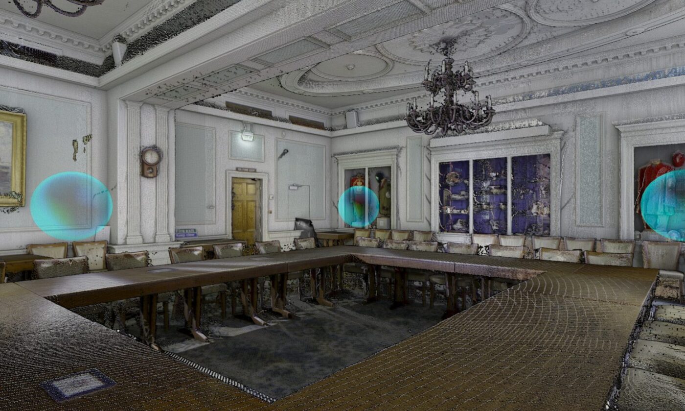
What a measured building survey captures, how Levels of Detail set accuracy differently for 2D drawings and for 3D models, and how measurement error turns into refurbishment rework.
UP AND IN: WHAT LONDON’S NEW THINKING ON ROOFTOPS AND SMALL SITES MEANS FOR YOUR SURVEY
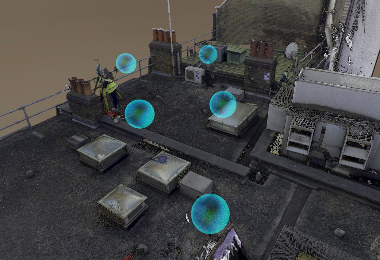
London is looking hard at the space above its existing buildings. A pattern book for roof extensions and a new small sites design code could make the principle easier to agree. The detail will still come down to a good rooftop extension survey of the building you’re adding to.
REFURBISHMENT

Refurbishment design is committed against fabric that is already standing. Every dimension in the scheme is inherited from the record of that building, so if the record is wrong, the design is wrong—and it usually announces itself on site when something does not fit. In short: a measured building survey for refurbishment is an accurate, […]
WHAT DO GEOSPATIAL SURVEYORS ACTUALLY DO?
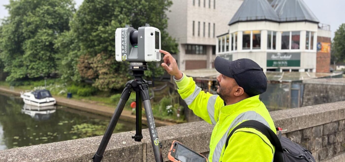
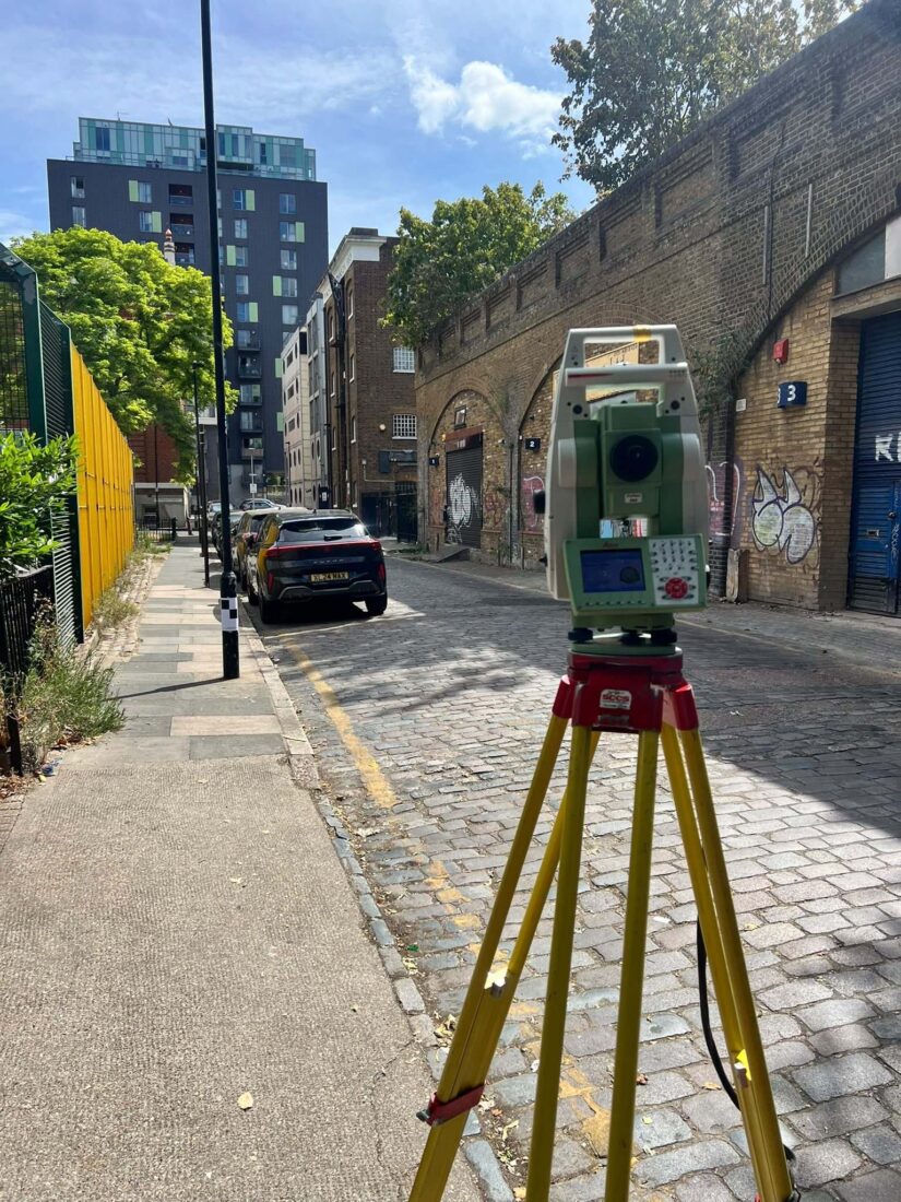
UNDERSTANDING A GEOSPATIAL SURVEYORS ROLE To most passersby, a geospatial surveyor is simply the person behind a tripod. However, ask anyone in the field, and they will tell you that no two days are ever the same. One morning you might clamber across the roof of a listed Victorian terrace. By Thursday, you are executing […]
FUTURE HOMES AND BUILDINGS STANDARDS: DE-RISK AND BUILD

WHAT IS THE FUTURE HOMES AND BUILDING STANDARDS? The Future Homes and Buildings Standards is a major update to the UK Building Regulations aimed at drastically cutting carbon emissions from the built environment. Its core objective is to ensure that all new homes and non-domestic buildings are constructed with low-carbon heating systems and elite levels […]
SPATIAL DIMENSIONS ACHIEVE CONSTRUCTIONLINE GOLD

At Spatial Dimensions, we pride ourselves on delivering accurate, reliable, and professional surveying services. Our work helps clients reduce risk and move projects forward with confidence. We are therefore delighted to announce that we have achieved Constructionline Gold accreditation. This achievement marks another important milestone for our business. It reflects our commitment to quality, compliance, […]
SURVEY BUYERS GUIDE – SEPARATE A GOOD SURVEY FROM A CHEAP SURVEY
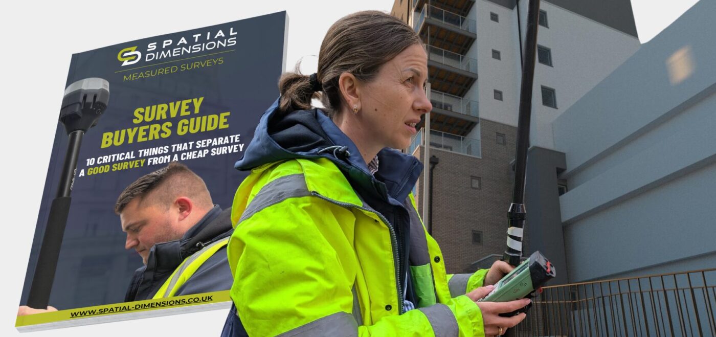
Choosing a surveyor should be straightforward. In reality, it’s become more difficult than ever. On the surface, many providers look the same. They have similar equipment, similar terminology, similar promises. Beneath that, the quality, reliability, and professionalism can vary dramatically, and those differences often only appear once a project is already underway. That’s why we’ve […]
THE IMPORTANCE OF 3D MODELS IN ALL RIBA STAGES

3D models now play a central role in modern construction. They give teams clear visual insight and accurate information from the first idea through long-term building use. They also support CAD and other survey outputs, creating a complete digital picture of every project. By using 3D models across the RIBA Plan of Work, teams improve […]
TACKLING THE SURVEY SKILLS GAP: INSIGHTS FROM KTUC25

Yesterday our Managing Director and TSA President Claire Fenwick joined a panel of leading voices at the KOREC Technology User Conference (KTUC25) to discuss one of the biggest challenges facing the geospatial industry the survey skills gap. The session brought together experts from across education, industry, and professional bodies, including Professor Jon Mills (Newcastle University), […]