LINFORD CHRISTIE STADIUM
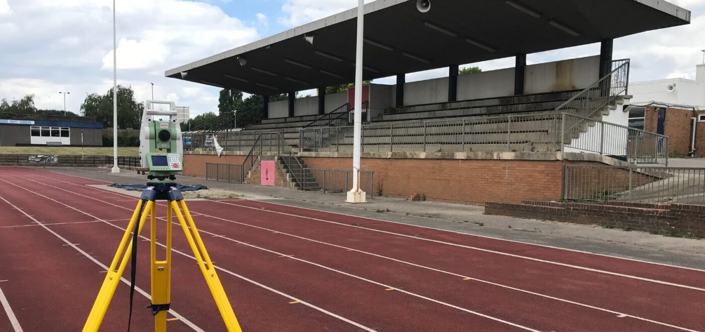
THE BRIEF The Linford Christie Stadium (FKA The West London Stadium) is based in Wormwood Scrubs, West London. The stadium was originally built in 1967 with upgrades to the running track made in 1973. In 1992 Linford Christie would become the first British runner to win gold at any four major championships. This is a […]
KINGSTON’S ANCIENT MARKET PLACE
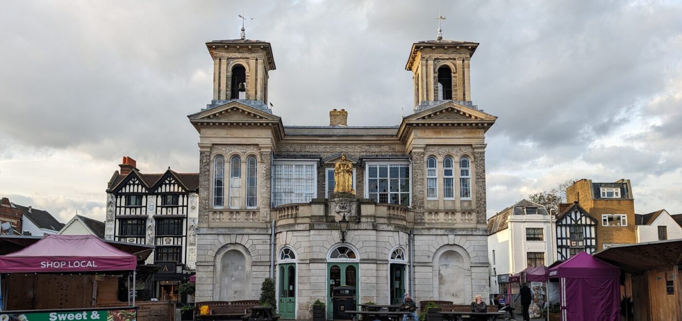
THE BRIEF Kingston upon Thames is a historic market town in South West London. The renowned market and hall are central to both the town’s identity and geography. The ancient market dates back to the early 1200s, and is one of London’s oldest street markets. It’s currently home to 28 permanent stalls, 7 days a […]
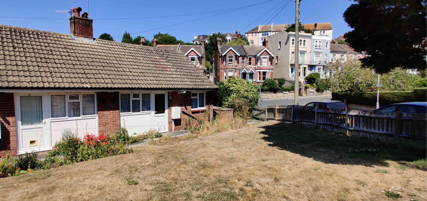
SHEPPEY COLLEGE
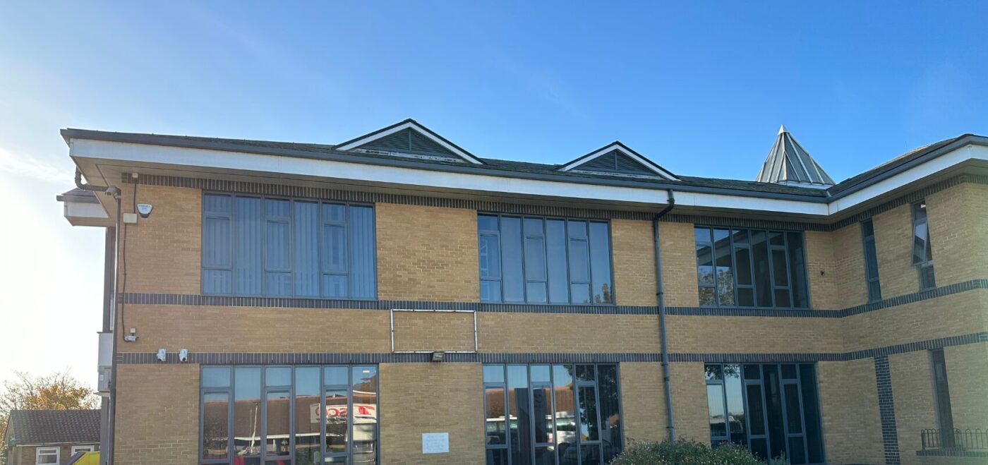
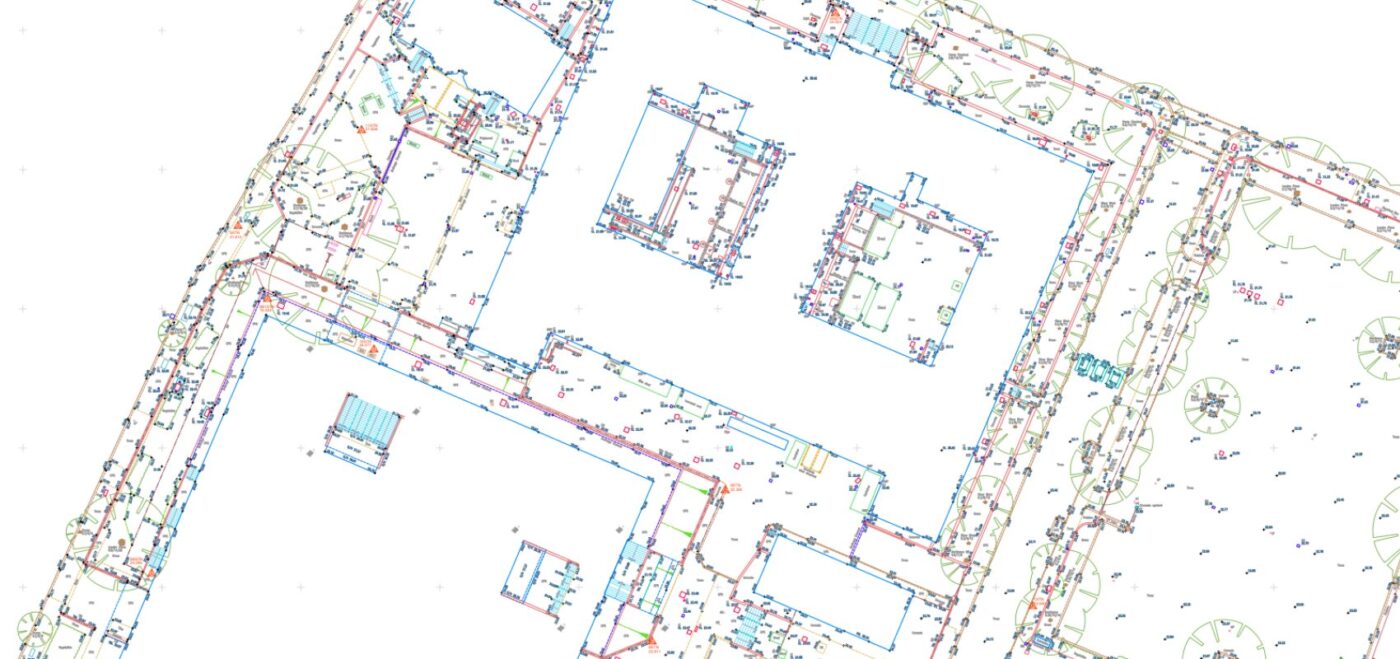
THE BRIEF Sheppey College is part of the East Kent Colleges Group. The college plays a vital role in education for the Isle of Sheppey and the Sheerness area. Spatial Dimensions were appointed to carry out vital Measured Building, Topographical and Underground Utility surveys to help with the extension of the current site. The extension […]
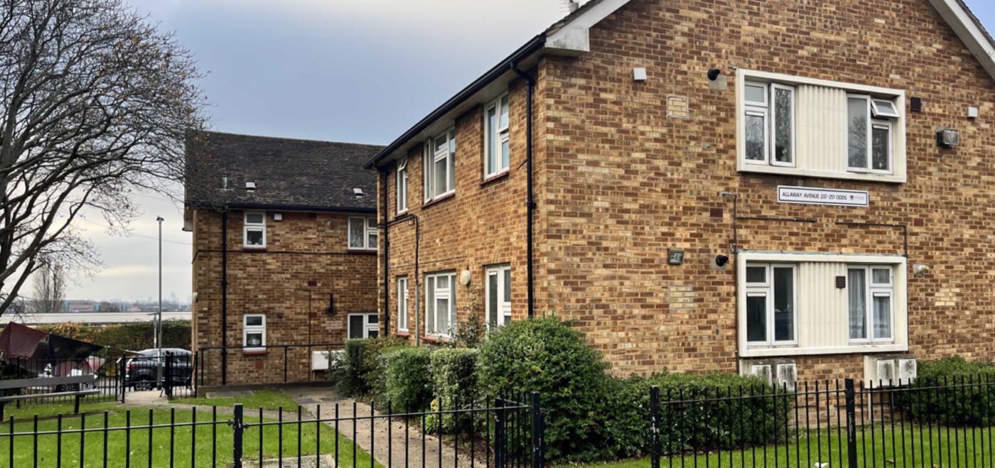
CAMDEN RETROFIT PROJECT
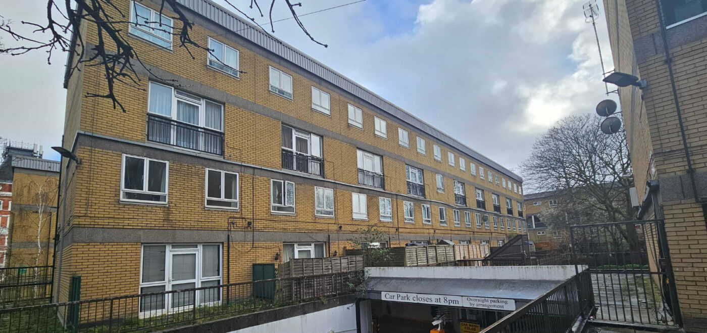
THE BRIEF Camden Council owns approximately 33,000 properties in the North London Borough. In 2019, Camden Council announced a climate emergency and committed to reaching net zero by 2030 (20 years before the full UK government’s plan). Aside from this, they highlighted that 10,000 homes in Camden are living in fuel poverty, with the number […]
EMBASSY OF VIETNAM
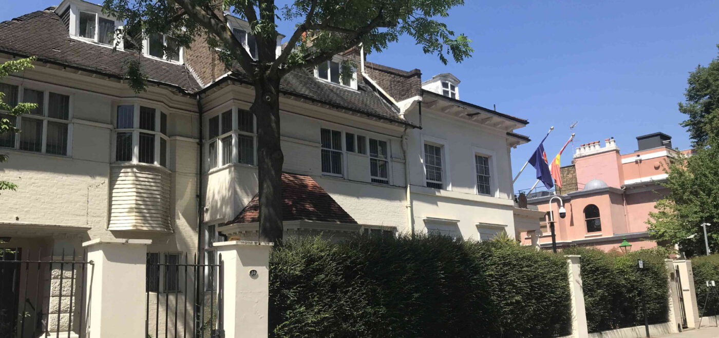
THE BRIEF 12-14 Victoria Road was acquired by Vietnam in 1969 and converted into the current embassy building. The embassy is located in a conservation area within the borough of Kensington & Chelsea and is a listed building. Spatial Dimensions were hired by Corstophine & Wright (architects) and LXA (project managers). Essential improvements were needed […]
KENT RETROFIT PROJECT
THE BRIEF The Social Housing Decarbonisation Fund (SHDF) wave 2.1 was a government funding scheme offering up to £800 million across the country. The fund aimed to: Deliver warm, energy-efficient homes Reduce carbon emissions Tackle fuel poverty Support green jobs Develop the retrofit sector Improve the comfort, health and well-being of social housing tenants […]
PORTSMOUTH RETROFIT PROJECT
THE BRIEF When it comes to energy efficiency, Portsmouth City Council are one of the UK’s leading local authorities. The City Council is aiming the for the whole of Portsmouth to be net zero by 2030. To do this, reducing carbon emissions and waste is of the upmost importance. Portsmouth City Council highlighted the opportunity […]
CAMBRIDGE UNIVERSITY (SIDGWICK SITE)
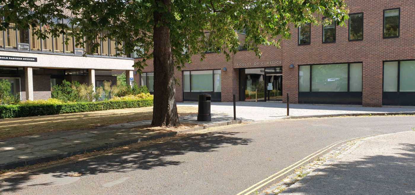
THE BRIEF Spatial Dimensions were given the task of providing measured building and topographical surveys for Lecture Block This included the block itself, ‘Little Hall’, canopy and immediate surrounding areas. Survey data was then to be turned into a point cloud and REVIT model, with the topographical survey in standard 2D. OUR WORK The Spatial […]
LEWISHAM COLLEGE
THE BRIEF Lewisham College is a large further education institution based over two sites in Lewisham and Deptford. It serves it’s local community as well as pupils from further afield. We were commissioned to carry out topographical surveys at both sites. The main focus of the surveys was to help with an initial feasibility study. […]
AMHERST SCHOOL
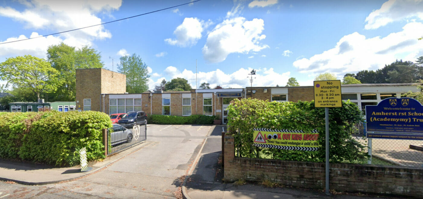
THE BRIEF Amherst School in Riverhead, Sevenoaks is a primary school for pupils aged 7-11. Spatial Dimensions conducted 2D building and topographical surveys to help aid Carmen Austin Architecture. This was to help aid planning applications to construct a new 101.8m2 classroom alongside current school buildings. Time was of the essence as this was during […]