
THE NETHERFIELD ESTATE
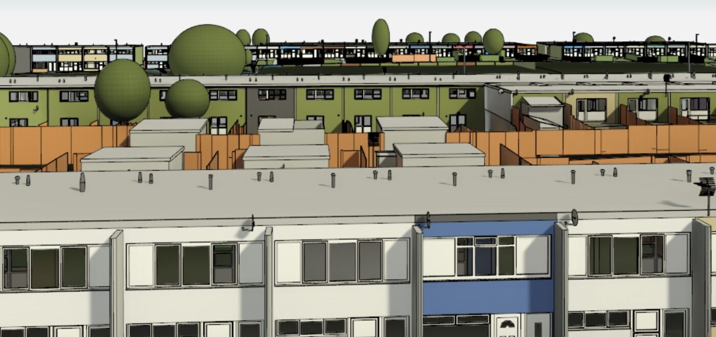
MEASURED SURVEYS ON 304 HOMES TO ENALE A FABRIC FIRST RETROFIT AS PART OF THE SHDF WAVE 1 SCHEME.
CASTLEFIELD VIADUCT
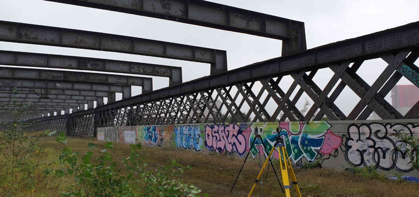
THE BRIEF The National Trusts vision is to transform Castlefield viaduct into a free-to-access park and meeting place for people and nature. Imagine a hidden oasis sitting above this busy city. It will be a space that respects the listed structure, celebrates the nature, beauty and history of the viaduct, and fits in with existing […]
LANCASTER WEST ESTATE
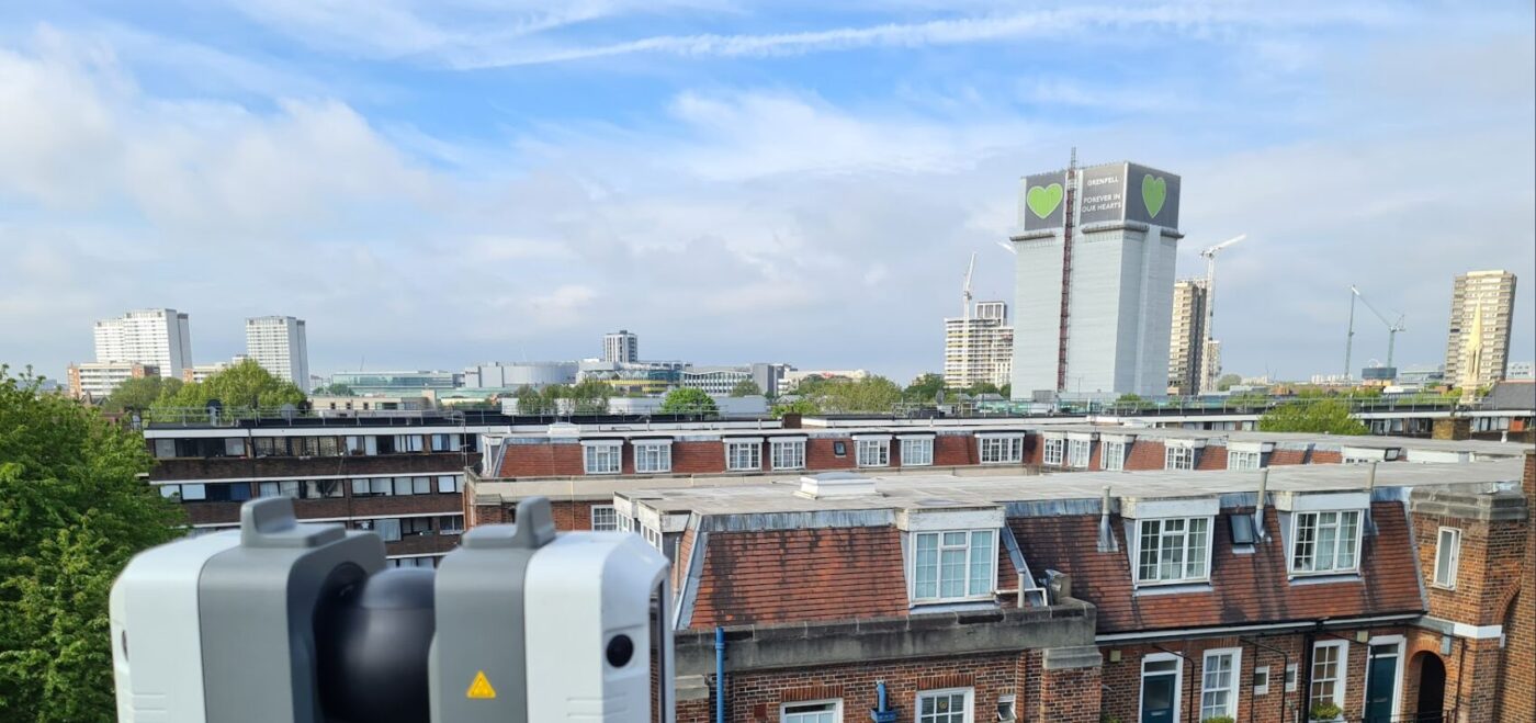
FULL MEASURED SURVEY, LASER SCANNING, TOPOGRAPHICAL SURVEY AND 3D REVIT MODEL FOR THE ENTIRE 17ACRE AREA
SLOANE STREET

LASER SCANNING 150 COAL CELLARS AND PAVEMENTS, PROVISION OF 360 DEGREE IMAGERY AND CAD PLANS TO SUPPORT A £40 MILLION TRANSFORMATION OF AN ICONIC STREET