
HOW TO CHOOSE A UK MEASURED BUILDING AND TOPOGRAPHICAL SURVEY PROVIDER
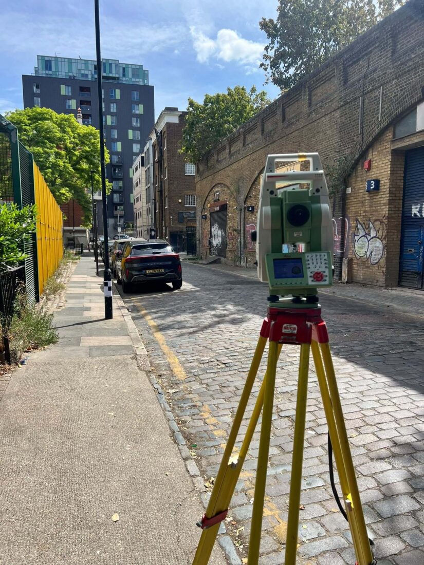
An eleven-point checklist for architects and project managers choosing a UK measured building and topographical survey provider, with published prices and Spatial Dimensions’ answer to each criterion.
THE COMPLETE GUIDE TO MEASURED BUILDING SURVEYS FOR REFURBISHMENT
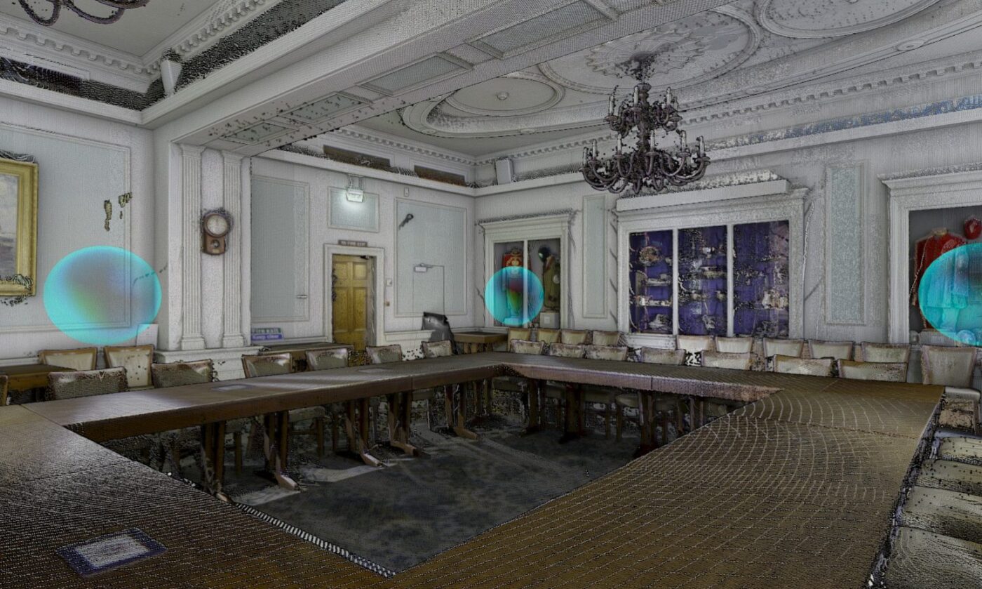
What a measured building survey captures, how Levels of Detail set accuracy differently for 2D drawings and for 3D models, and how measurement error turns into refurbishment rework.
UP AND IN: WHAT LONDON’S NEW THINKING ON ROOFTOPS AND SMALL SITES MEANS FOR YOUR SURVEY
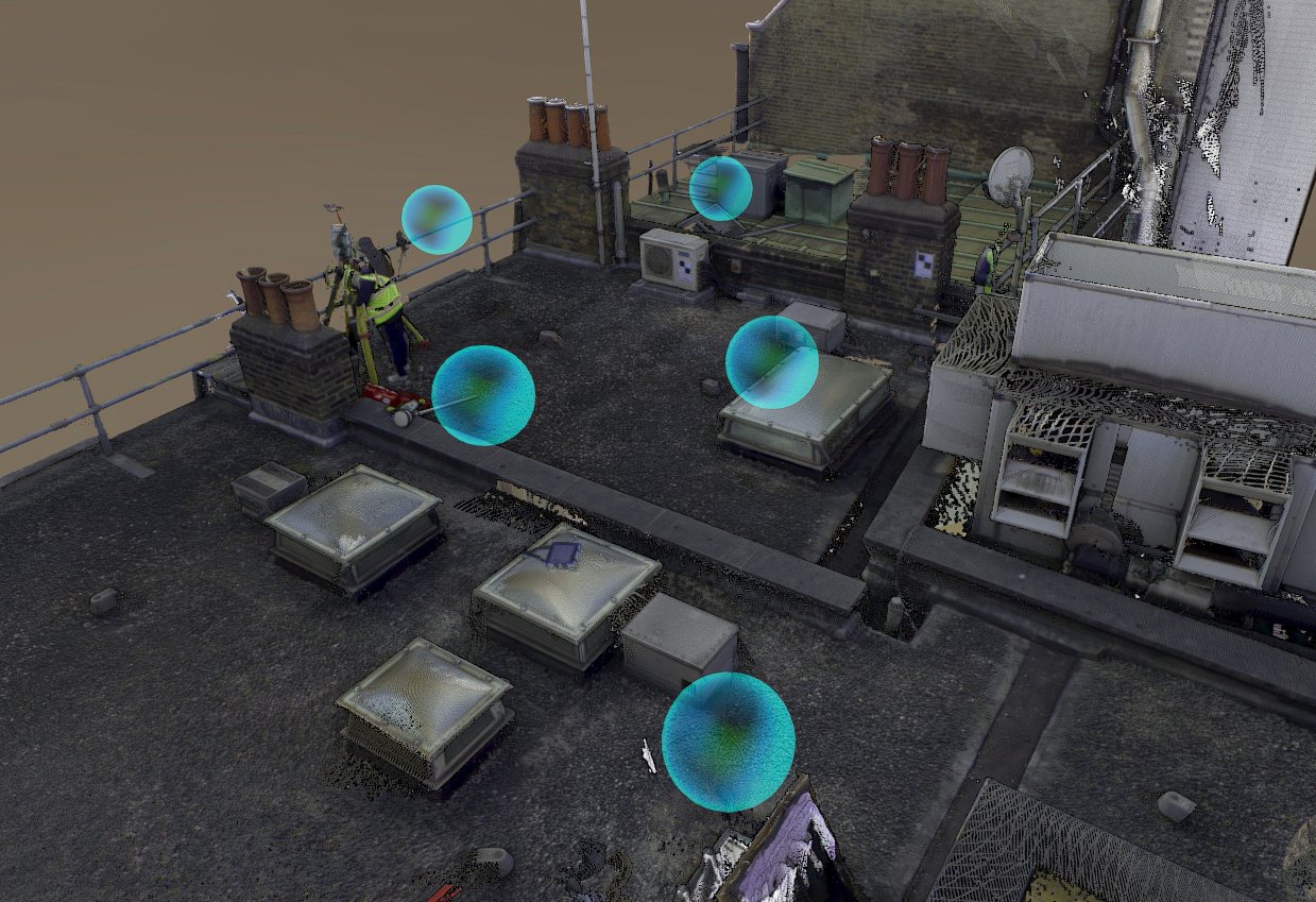
London is looking hard at the space above its existing buildings. A pattern book for roof extensions and a new small sites design code could make the principle easier to agree. The detail will still come down to a good rooftop extension survey of the building you’re adding to.
UTILITY MAPPING FOR UK CONSTRUCTION: WHAT CAUSES DELAYS WHEN UNDERGROUND UTILITY SURVEYS ARE SKIPPED
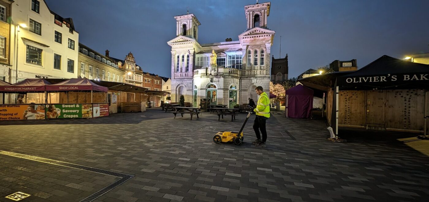
Why construction programmes slip when underground utility surveys are skipped, what PAS 128 Quality Levels A to D actually mean, and what a survey costs.
UNDERGROUND UTILITY SURVEYS EXPLAINED

WHAT IS AN UNDERGROUND UTILITY SURVEY? At Spatial Dimensions, we specialize in underground utility surveys, also known as utility mapping or subsurface utility engineering. Our mission is to help our clients create safe and efficient environments by accurately identifying the location and condition of the underground utilities that exist beneath the surface of the ground. […]
CLAIRE FENWICK TAKES ON PedElle CYCLING CHALLENGE FOR CHARITY

CLAIRE FENWICK IS GEARING UP FOR AN INCREDIBLE 395km CHARITY CYCLING CHALLENGE! The cycle will be held in Slovenia from June 15 in aid of PedElle. Having started cycling over a year ago, Claire faced several health issues, including a double operation in February. Despite these obstacles, she is determined to conquer the PedElle charity cycling […]
CASTLEFIELD VIADUCT: A WINNING COLLABORATION
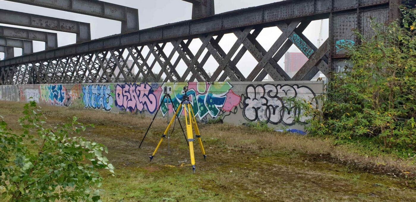
INTRODUCTION We are thrilled to share the exciting news that our clients, the National Trust and Twelve Architects, have won a prestigious Pineapple Award for their innovative project at Castlefield Viaduct in Manchester. This remarkable achievement highlights the exceptional collaboration between various teams, including Spatial Dimensions, who provided crucial measured survey and topographical survey information to inform the design. […]
SPATIAL DIMENSIONS ANNOUNCES A TRIO OF PROMOTIONS

THREE TEAM MEMBERS PROMOTED AT SPATIAL DIMENSIONS We’re excited to share that three fantastic team members have been promoted due to their superb performance! “We’re delighted to recognise Stefano, Karl, and Joe’s hard work and dedication.” said Claire Fenwick, Managing Director, “Their promotions are thoroughly deserved and we believe they’ll help us keep offering top-quality surveying […]
SPATIAL DIMENSIONS BOOSTS IT’S UNDERGROUND UTILITIES TEAM

UNDERGROUND UTILITIES AT SPATIAL DIMENSIONS We are excited to announce the appointment of Gareth Dunn as our new Head of Utilities. This important hiring decision is due to the growth and expansion of our underground utilities department. Gareth Dunn brings a wealth of experience to his new role at Spatial Dimensions. In the past, Gareth […]
WHAT IS 3D MODELLING?

SPATIAL DIMENSIONS – 3D MODELLING EXPERTS At Spatial Dimensions, we specialise in utitlising the Building Information (BIM) process. With our years of experience in 3D laser scanning, we have developed a scan-to-BIM process that delivers highly accurate as-built survey information into a BIM-ready model using industry-standard deliverables such as Revit®. This allows us to create […]