 Skip to content
WHAT DO GEOSPATIAL SURVEYORS ACTUALLY DO?
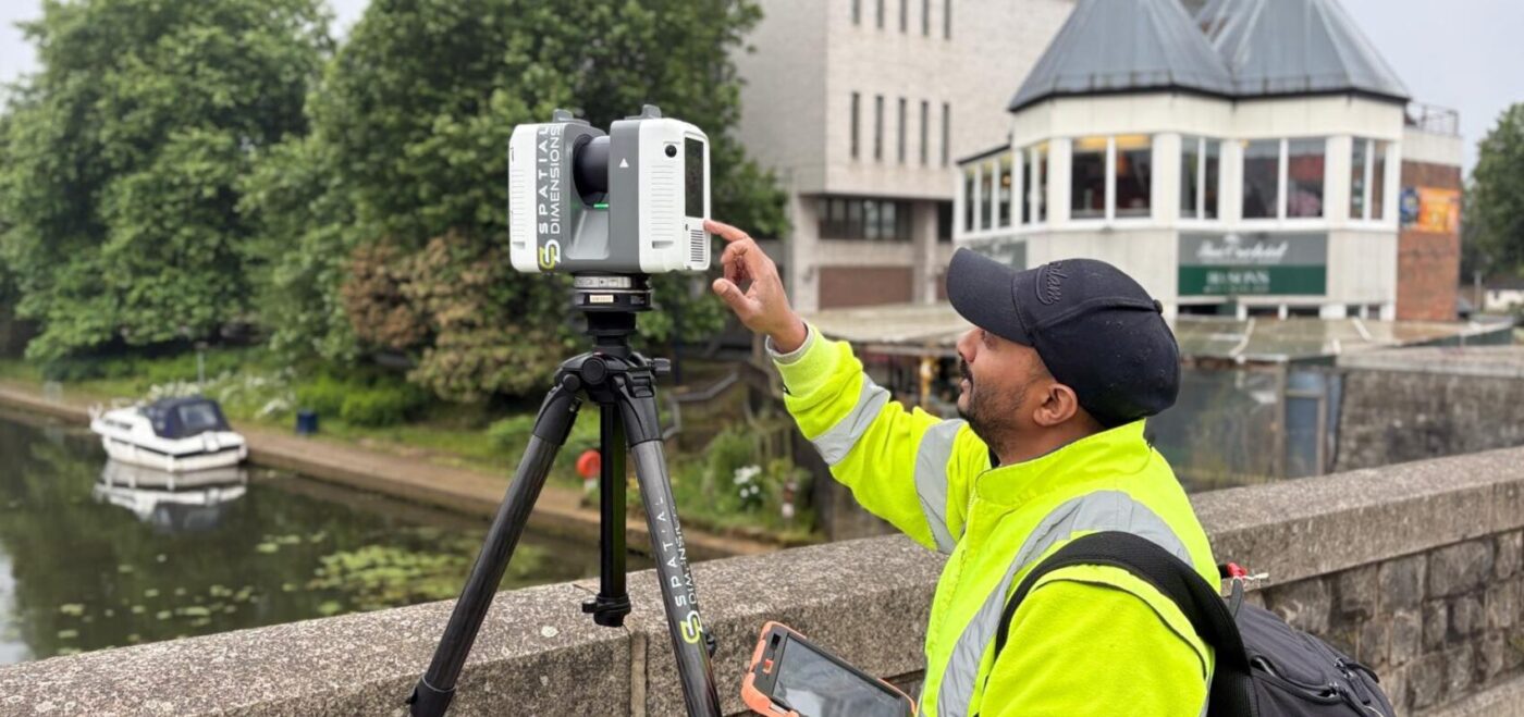
UNDERSTANDING A GEOSPATIAL SURVEYORS ROLE To most passersby, a geospatial surveyor is simply the person behind a tripod. However, ask anyone in the field, and they will tell you that no two days are ever the same. One morning you might clamber across the roof of a listed Victorian terrace. By Thursday, you are executing […]
FUTURE HOMES AND BUILDINGS STANDARDS: DE-RISK AND BUILD
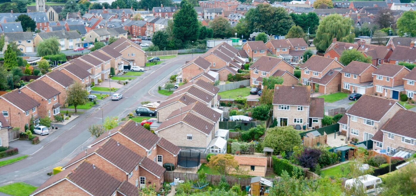
WHAT IS THE FUTURE HOMES AND BUILDING STANDARDS? The Future Homes and Buildings Standards is a major update to the UK Building Regulations aimed at drastically cutting carbon emissions from the built environment. Its core objective is to ensure that all new homes and non-domestic buildings are constructed with low-carbon heating systems and elite levels […]
SURVEY BUYERS GUIDE – SEPARATE A GOOD SURVEY FROM A CHEAP SURVEY

Choosing a surveyor should be straightforward. In reality, it’s become more difficult than ever. On the surface, many providers look the same. They have similar equipment, similar terminology, similar promises. Beneath that, the quality, reliability, and professionalism can vary dramatically, and those differences often only appear once a project is already underway. That’s why we’ve […]
THE IMPORTANCE OF 3D MODELS IN ALL RIBA STAGES
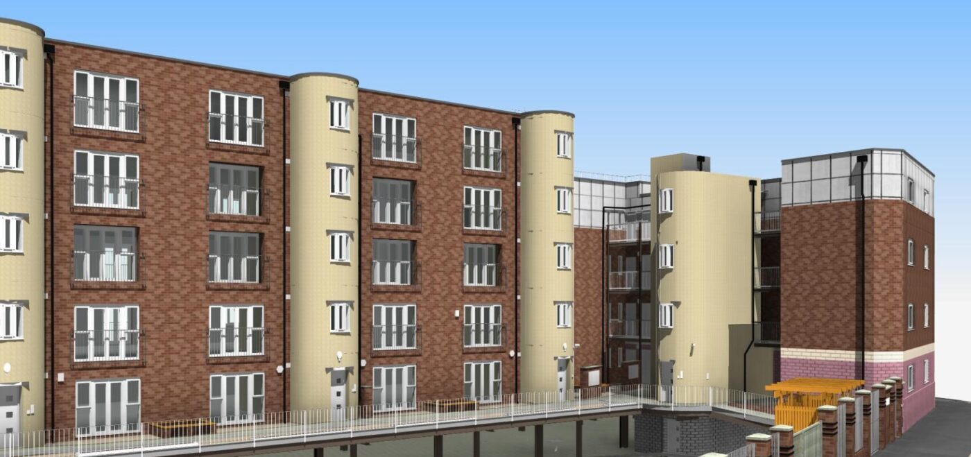
3D models now play a central role in modern construction. They give teams clear visual insight and accurate information from the first idea through long-term building use. They also support CAD and other survey outputs, creating a complete digital picture of every project. By using 3D models across the RIBA Plan of Work, teams improve […]
WHY IS LEVEL OF DETAIL (LOD) SO IMPORTANT?

Level of Detail (LOD) is a highly concept in construction based industries like architecture, engineering and surveying. It refers to the depth and complexity of information represented in models or drawings. You read about the definition of LOD here. DEFINING LEVEL OF DETAIL LOD describes the extent of detail included within survey data, which can […]
HOW TO SOLVE THE LONDON HOUSING CRISIS: BUILDING UPWARDS OR OUTWARDS?

THE NEED FOR LONDON HOUSING Over the last five years, London has built an average of over 37,000 homes. Nearly 70% of this housing was built for the private sector. In a recent article, the NLA highlighted a need for 74,000 houses annually. This is a massive 200% increase on its current rate. Government schemes, […]
WARM HOMES: SOCIAL HOUSING FUND (WH:SHF) WAVE 3 & IT’S LONG TERM IMPACT

The Warm Homes: Social Housing Fund (WH:SHF), formally known as The Social Decarbonisation Fund (SHDF) is a proactive government fund launched in 2021. Since the initial demonstrator £1.1 billion has been awarded across Britain. As well as The SHDF Demonstrator (2021), we saw funding in SHDF Wave 1 (2022), SHDF 2.1 (2023) and SHDF 2.2 […]
HOW CAN OUR FREE GUIDE HELP YOU TO SPECIFY A RETROFIT SURVEY?

Getting the most out of a retrofit project has never been more important. The implications for climate, affordability and profitability all depend on maximising the opportunities afforded to us. This starts with the survey. Our guide to specifying a retrofit survey gives you a breakdown of important aspects of a site visit. This is informed […]
THE POWER OF RETROFITS: ENHANCING SUSTAINABILITY & EFFICIENCY IN UK CONSTRUCTION
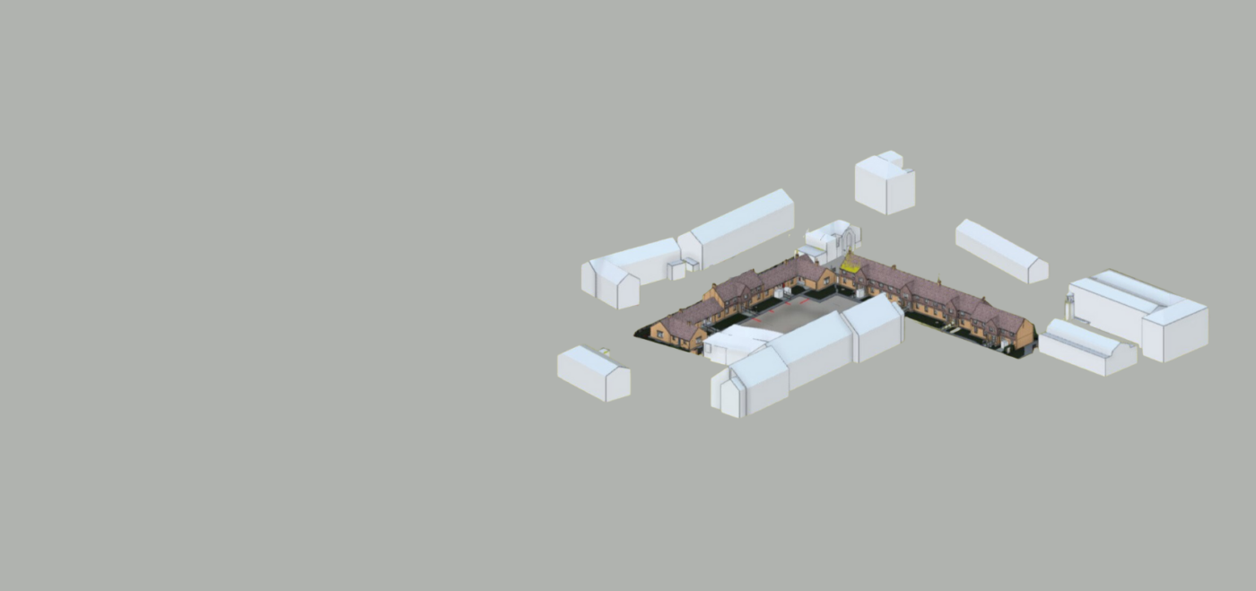
INTRODUCTION In an era of increasing environmental awareness and the need for energy efficiency, retrofits have emerged as a transformative solution within the UK construction industry. By upgrading existing buildings to modern standards, retrofits offer numerous benefits that go beyond sustainability. At Spatial Dimensions, we are passionate about helping our clients create spaces that everybody […]
HOW CAN TOPOGRAPHICAL SURVEYS HELP WITH PLANNING PERMISSION?

INTRODUCTION When it comes to obtaining planning permission for construction projects, having accurate and detailed information about the land is crucial. This is where topographical surveys, also known as topo surveys, play a vital role. A topographical survey provides essential data about the physical features and contours of a site, which can greatly aid in […]