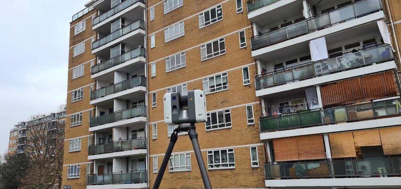
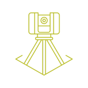
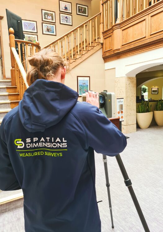
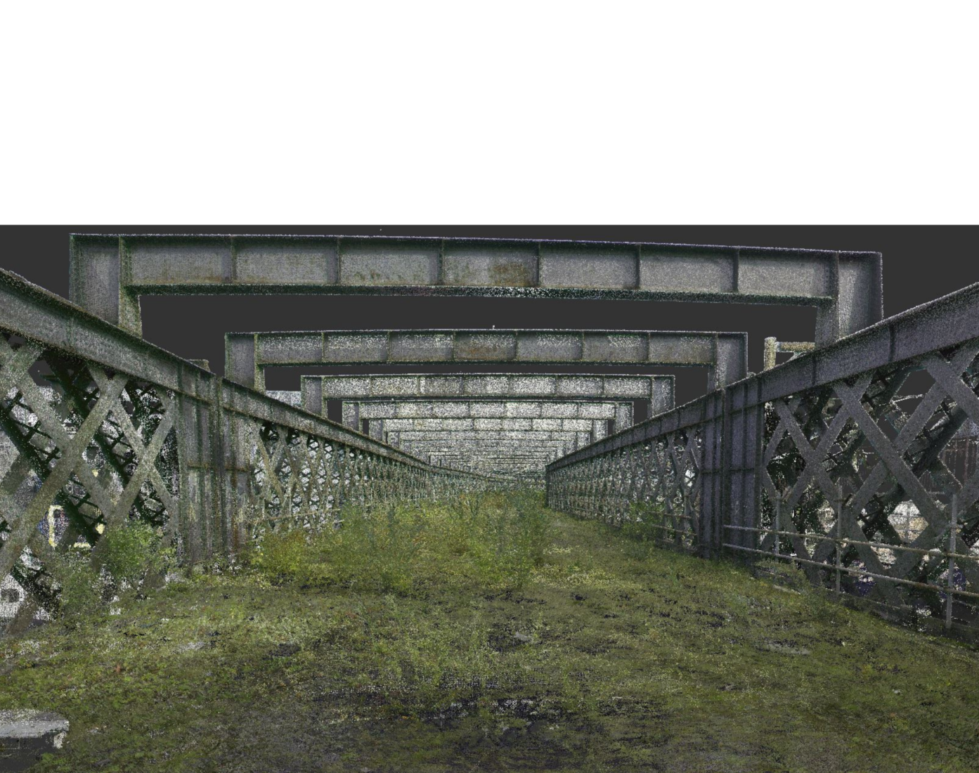
Laser scanning surveys capture exact survey information. The data captured by a laser scanner is known as a point cloud and, depending on the site, can contain billions of 3D points.
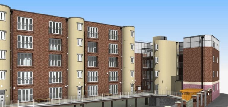
A point cloud is a very rich data set and can be used to create CAD drawings and construct 3D models for a wide variety of purposes. Point clouds can be used for retrofit and refurbishment projects, brownfield and greenfield new development, building safety and as-built surveys prior to handover.
HOW CAN LASER SCANNING SURVEYS BENEFIT OUR CLIENTS?
We also have the capability to apply realistic colour to the point cloud from our panoramic imaging cameras, further enriching the data set and producing a highly realistic visualisation of the site.
Collecting millions of points in a matter of seconds has proven to be pretty handy to surveyors, as well as being highly beneficial to our clients.
Laser scanning surveys help to record a high-definition dimensional record of the site. This data is then turned into your required deliverable including point clouds, 2D or 3D CAD and 3D models.
Which ever format you’d like your data in, we can supply it!
Laser scanning is a quick and non-intrusive method that minimises or eliminates the need for operational shutdown.. Scanning can be conducted while operations continue, reducing downtime and minimising inconvenience to you and your clients.
Laser scanning creates a digital record of the surveyed site, capturing its existing conditions in great detail. This data can be stored and accessed for future reference or analysis, allowing for additions or changes to be made without the need for additional site visits. Our top-of-the-range scanners capture the surrounding areas of your site, even if this isn’t initially required. This can help with further information and potentially eliminate revisits.
These benefits contribute to more effective decision-making, reduced costs, and improved project outcomes for clients who choose laser scanning as a surveying method.
THE BENEFITS OF LASER SCANNING SURVEYS
Rapid data collection
Positional accuracy down to a few mm
High-definition dimensional record of a site
Capture additional surrounding contextual information
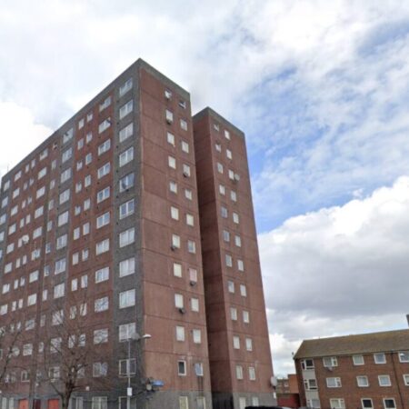
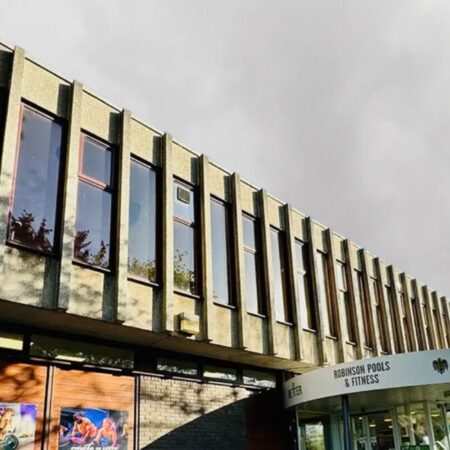
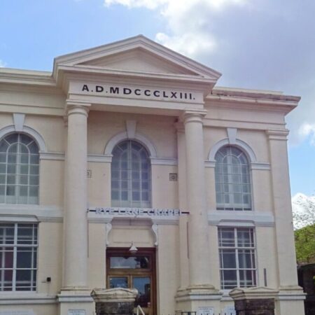
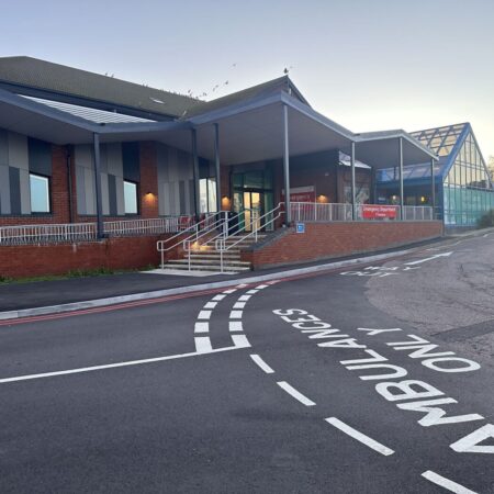
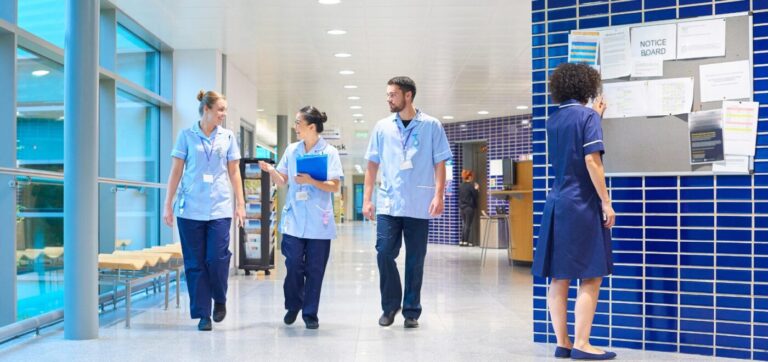
Our team can work around occupied buildings, offices, schools, hospitals and more

 Skip to content