THE ROLE OF THE RICS RESIDENTIAL RETROFIT STANDARD IN ENHANCING ENERGY EFFICIENCY WITHIN HOUSING

The Royal Institution of Chartered Surveyors (RICS) has long been at the forefront of promoting best practices in the construction and real estate sectors. One of their latest initiatives, the RICS Residential Retrofit Standard, is a comprehensive guide that aims to set out the principles and guidelines for retrofitting buildings to improve energy efficiency and […]
SPATIAL DIMENSIONS ADDED TO PERFECT CIRCLE’S SUPPLIER LIST

Perfect Circle is a property construction and infrastructure consultancy that delivers real value with full procurement compliance supported by a supply chain of over 500 consultants. In late February this year, Spatial Dimensions was approved as a Perfect Circle supplier, and we’re extremely happy to share this news with you. A PERFECT MATCH Perfect Circle […]
CLAIRE FENWICK NAMED AS PRESIDENT OF THE SURVEY ASSOCIATION (TSA)

Spatial Dimensions founder and Managing Director, Claire Fenwick was voted to serve as president at TSA Annual General Meeting held at Silverstone race circuit on Wednesday 27th March. Claire was delighted to accept this prestigious role and in doing so became the first female president of the association. Formed in 1979 TSA has over 200 […]
ANTONIO PAYA CAMINO BECOMES A QUALIFIED RICS PROFESSIONAL

ANTONIO’S STORY We’re pleased to announce that our BIM Coordinator, Antonio Paya Camino, is now a RICS-qualified professional! The qualification entitles Antonio to use the designation ‘AssocRICS’. This is another fantastic achievement for Antonio adding to his impressive list of qualifications in Architecture and Engineering. Since joining us in 2021, he has embodied the Spatial […]
HOW CAN TOPOGRAPHICAL SURVEYS HELP WITH PLANNING PERMISSION?
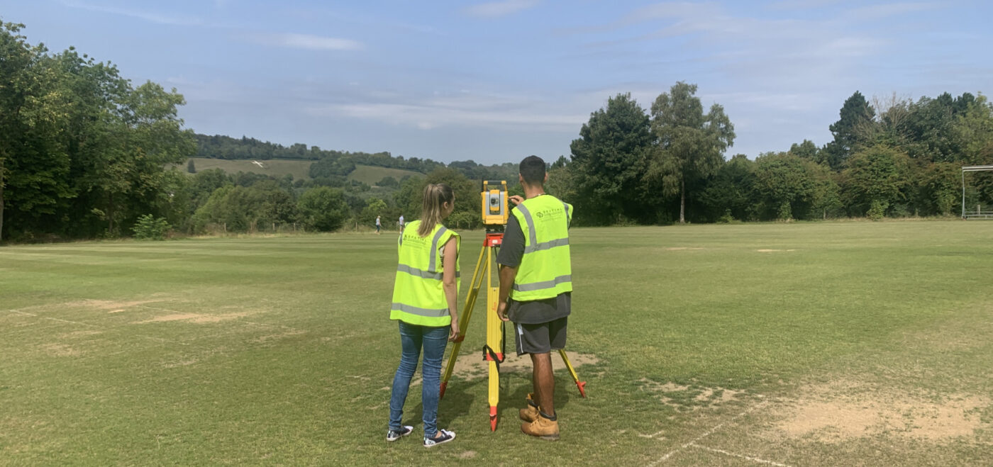
INTRODUCTION When it comes to obtaining planning permission for construction projects, having accurate and detailed information about the land is crucial. This is where topographical surveys, also known as topo surveys, play a vital role. A topographical survey provides essential data about the physical features and contours of a site, which can greatly aid in […]