SPATIAL DIMENSIONS BOOST LAND SURVEYING TEAM

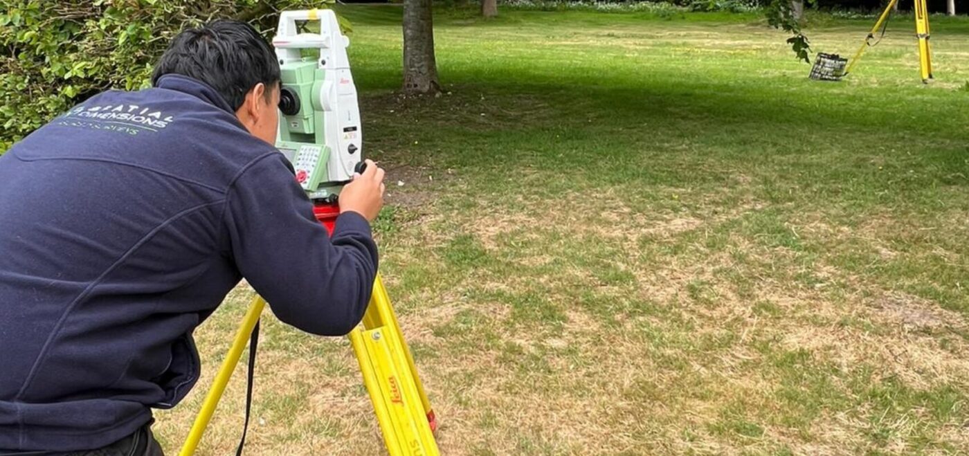
WELCOMING PRAJWOL RANA TO OUR LAND SURVEYING TEAM! We’re delighted to welcome Prajwol Rana to the Spatial Dimensions land surveying team. HE joins us as a Trainee Land Surveyor. His appointment is part of our ongoing recruitment drive to support the continued growth of our company and expand our expert team across the UK. Prajwol […]
THE IMPORTANCE OF MEASURED SURVEYS IN THE EDUCATION SECTOR

In an era where data drives decisions, measured surveys have become an indispensable tool across various sectors, and the education industry is no exception. Surveys provide the critical spatial data needed to inform effective decision-making. As educational institutions face increasing pressure to optimise their facilities, budgets, and student outcomes, the role of accurate, detailed surveys […]
CLAIRE FENWICK CYCLE TO UKREiiF FUNDRAISING

CYCLE TO UKREiiF 2025 Claire Fenwick is set to participate in the “Cycle to UKREiiF 2025” event. The event aims to raise funds for Club Peloton and its supported charitable project, Cyclists Fighting Cancer (CFC). This three-day endurance cycling challenge is scheduled from May 17th to 19th, 2025. It will see participants cycle from Newport […]
CLAIRE FENWICK MADE A FELLOW AT THE CHARTERED INSTITUTION OF CIVIL ENGINEERING SURVEYORS

Spatial Dimensions founder and Managing Director, Claire Fenwick was recently made a Fellow at the Chartered Institution of Civil Engineering Surveyors (CICES). This caps off an incredible personal year for Claire. In March 2024, was voted to serve as the first president of The Survey Association who trained at the affiliated Survey School. This has […]
THE ANGLO-FRENCH SURVEY & IT’S LEGACY

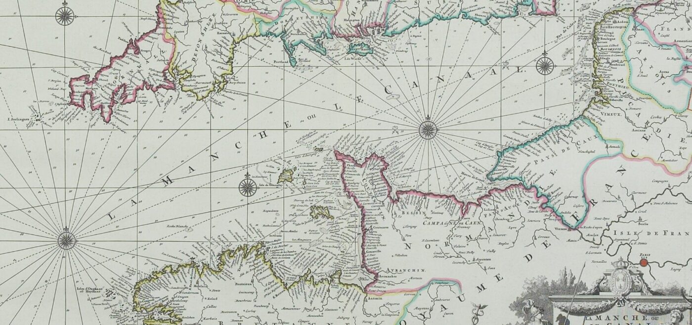
THE START OF A GROUNDBREAKING SURVEY In the rich tapestry of the surveying industry’s history, few threads are as significant as the Anglo-French Survey. It marked a moment when the profession of surveying leapt forward. The Anglo-French Survey set a precedent that has influenced professionals throughout our field to this very day. The survey was […]
CLAIRE FENWICK TAKES ON THE DUCHENNE DASH FOR DUCHENNE UK

On the 17th and 18th of May, our Managing Director, Claire Fenwick, will be taking on the gruelling Duchenne Dash to raise money for Duchenne UK. We are asking for your support as Claire takes on this mammoth challenge for a more than worthwhile cause. You can donate here or through the link at the […]
THE ROLE OF THE RICS RESIDENTIAL RETROFIT STANDARD IN ENHANCING ENERGY EFFICIENCY WITHIN HOUSING

The Royal Institution of Chartered Surveyors (RICS) has long been at the forefront of promoting best practices in the construction and real estate sectors. One of their latest initiatives, the RICS Residential Retrofit Standard, is a comprehensive guide that aims to set out the principles and guidelines for retrofitting buildings to improve energy efficiency and […]
SPATIAL DIMENSIONS ADDED TO PERFECT CIRCLE’S SUPPLIER LIST

Perfect Circle is a property construction and infrastructure consultancy that delivers real value with full procurement compliance supported by a supply chain of over 500 consultants. In late February this year, Spatial Dimensions was approved as a Perfect Circle supplier, and we’re extremely happy to share this news with you. A PERFECT MATCH Perfect Circle […]
CLAIRE FENWICK NAMED AS PRESIDENT OF THE SURVEY ASSOCIATION (TSA)

Spatial Dimensions founder and Managing Director, Claire Fenwick was voted to serve as president at TSA Annual General Meeting held at Silverstone race circuit on Wednesday 27th March. Claire was delighted to accept this prestigious role and in doing so became the first female president of the association. Formed in 1979 TSA has over 200 […]
ANTONIO PAYA CAMINO BECOMES A QUALIFIED RICS PROFESSIONAL

ANTONIO’S STORY We’re pleased to announce that our BIM Coordinator, Antonio Paya Camino, is now a RICS-qualified professional! The qualification entitles Antonio to use the designation ‘AssocRICS’. This is another fantastic achievement for Antonio adding to his impressive list of qualifications in Architecture and Engineering. Since joining us in 2021, he has embodied the Spatial […]