 Skip to content
THE BRIEF
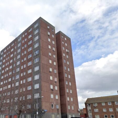
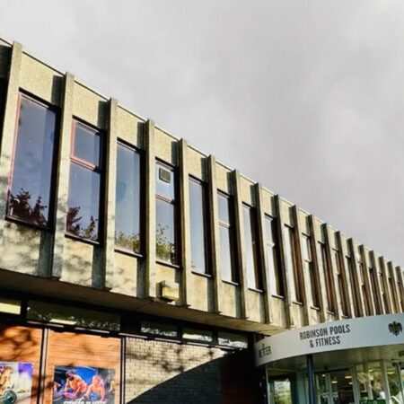
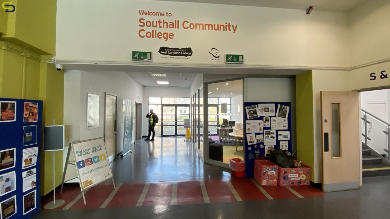
Spatial Dimensions has vast experience in the education sector, and offers a range of surveys for colleges. West London College is a leading further education institution serving thousands of students across London, renowned for its commitment to inclusive learning and skills development. The Southall Campus, located on Beaconsfield Road in the heart of a diverse and vibrant West London community, plays a key role in delivering vocational and academic courses to local and international students.
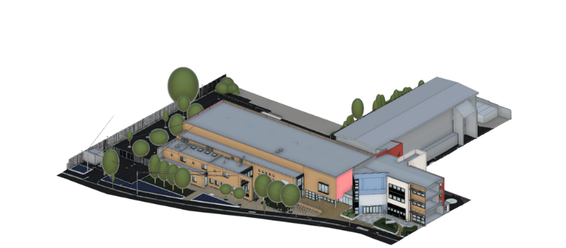
Spatial Dimensions were appointed to deliver a comprehensive package of surveying and digital modelling services at West London College’s Southall Campus. The objective was to capture highly accurate spatial data of the site’s existing structures, infrastructure, and utilities, both above and below ground, to support the College’s future planning and development of additional buildings on the existing site.
OUR WORK
Our surveys spanned laser scanning, topographical and underground utility work. The pinpoint-accurate raw data was then transformed CAD and 3D model information. We visited the college during 2022 and spent a total of 12 days on site. Keep reading to find out how we delivered this information.
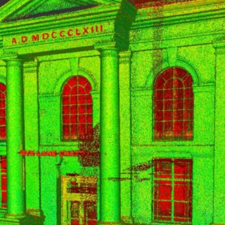
LASER SCANNING SURVEY
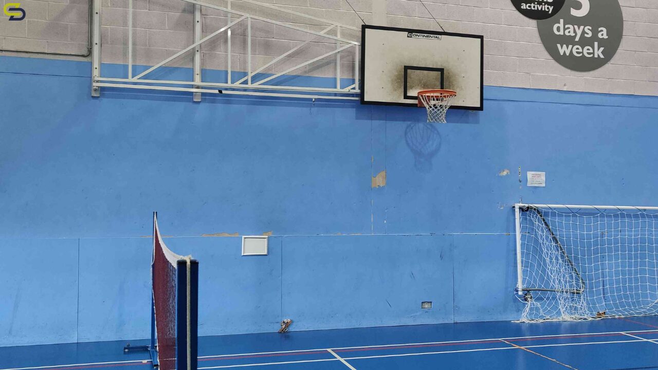
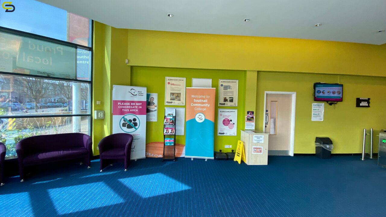
We conducted a high-resolution laser scan survey covering the external facades, roofs (where safely accessible), and internal areas of designated buildings. The data enabled accurate digital records tied to Ordnance Survey datums.
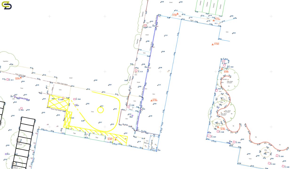
TOPOGRAPHICAL SURVEY
A detailed topographical survey was carried out across the site, capturing all land and structural outlines.
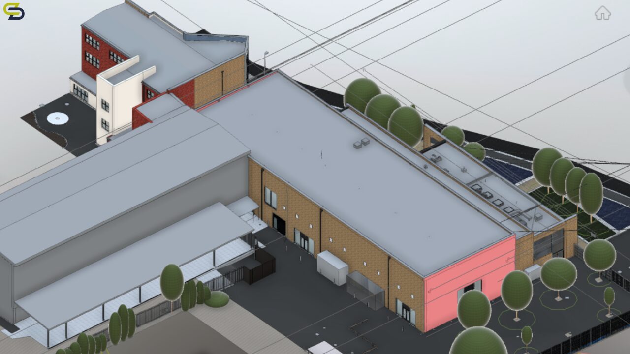
This data was used to develop a 3D Building Information Model (BIM) at level of detail (LOD 3). The model included architectural elements, helping to inform MEP planning.
UNDERGROUND UTILITY SURVEY
We conducted underground utility mapping using electromagnetic detection and ground-penetrating radar (GPR), identifying all relevant underground information. This helps to informs on the constraints of the site, as well as uncertain areas. This helped our client to make better decisions, saving them time and money.
Part of our underground utility survey was a statutory utility plan retrieval. To supplement the physical survey, we obtained asset plans from all relevant utility providers. Our CAD team re-plotted this data onto a single OS-based background. This offered clear overview of buried services and congestion levels, and was a valuable resource for risk mitigation during future excavation or construction.
BENEFITS FOR WEST LONDON COLLEGE
- Enhanced Planning & Design: The detailed point cloud and Revit model provided an accurate base for architectural and engineering teams. to plan upgrades or new developments with confidence.
- Risk Reduction: Underground utility mapping minimised the risk of service strikes, therefore informing safer construction practices.
- Improved Collaboration: TruView and coordinated BIM deliverables enabled better communication among stakeholders and contractors.
- Cost and Time Efficiency: By providing accurate “as-existing” data upfront, we helped the College avoid costly delays and design errors downstream.
- Future-Ready Data: All digital assets were delivered in industry-standard formats, positioning the College for smart estate management and integration with future digital twin initiatives.
THE OUTCOME
In conclusion, all plans and models were delivered accurately, and on time. This ensured the planning process got off to the best start possible and remained on track.
The survey data ensured project stakeholders were informed, and able to collaborate at all stages.


