BUILDING A SUSTAINABLE FUTURE – LIVE TALKS FROM SELHURST PARK
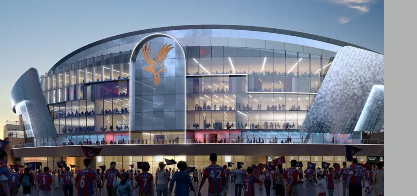
The sold out breakfast was a highly anticipated event for professionals in the architecture, engineering and construction. The Crystal Palace Football Club venue set the tone for a dynamic and inspiring gathering that fostered connections and promoted sustainable practices within the industry. There were three insightful talks from our own Commercial Director, Peter Fenwick, joined […]
SHDF WAVE 2.2: TRANSFORMING COMMUNITIES THROUGH SUSTAINABLE HOUSING
Approximately 17% of the UK’s carbon emissions come from housing, making the transition to sustainable and energy-efficient homes an urgent priority. Recognising the need for action, the UK government has introduced the Social Housing Decarbonisation Fund. This is a transformative initiative aimed at decarbonising social housing and benefiting communities across the nation. In this article, […]
CONSTRUCTION VERIFICATION – WHAT IS IT? HOW CAN IT HELP WITH GATEWAY 3?

Construction verification isn’t a new phenomenon. However, the introduction of the Building Safety Act 2022 means buildings higher than 18 metres or 7 stories are required to follow legislation to aid the quality of construction work. The final step of this process, Gateway 3 became active in October 2023. Gateway 3 acts as the final […]
KENT EXPO 2023 WRAP UP!
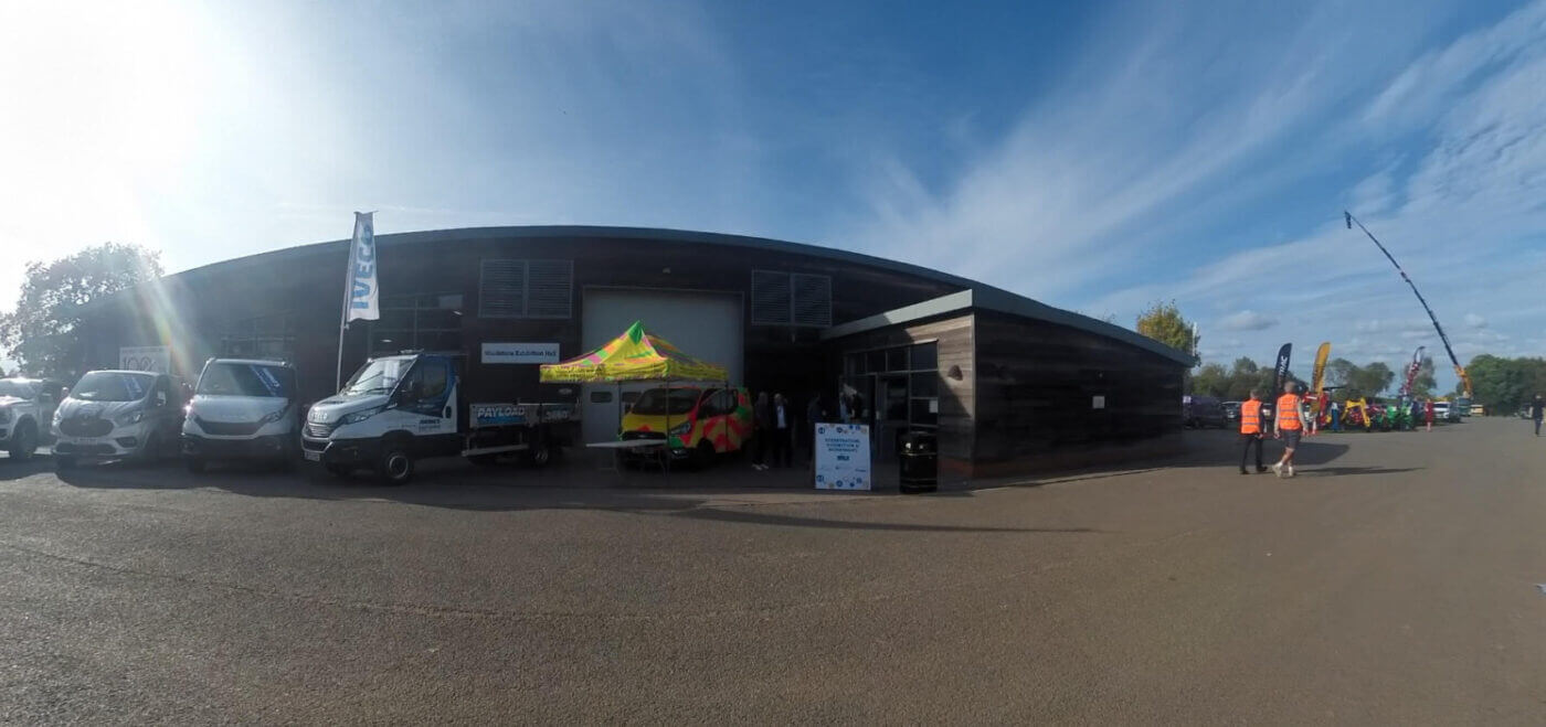
KENT CONSTRUCTION EXPO 2023 We’re thrilled to share our amazing experience at the Kent Construction Expo 2023, held on October 5th at the Kent Showground in Detling, Maidstone. The event was a great success, bringing together familiar and new faces alike! We spent the day time talking to you about our range of services, including […]
INTRODUCING GATEWAY 3 WITHIN THE BUILDING SAFETY ACT
This month, the next step of the Building Safety Act will be made part of active legislation. Gateway 3 is an important stage that will require transparent building information, along with evidence of the build to support the application. Gateway 3 specifically looks at the completion of building works. Throughout this article, we will look […]
SURVEY CONTROL: ENSURING ACCURACY AND CONSISTENCY IN GEOSPATIAL SURVEYING
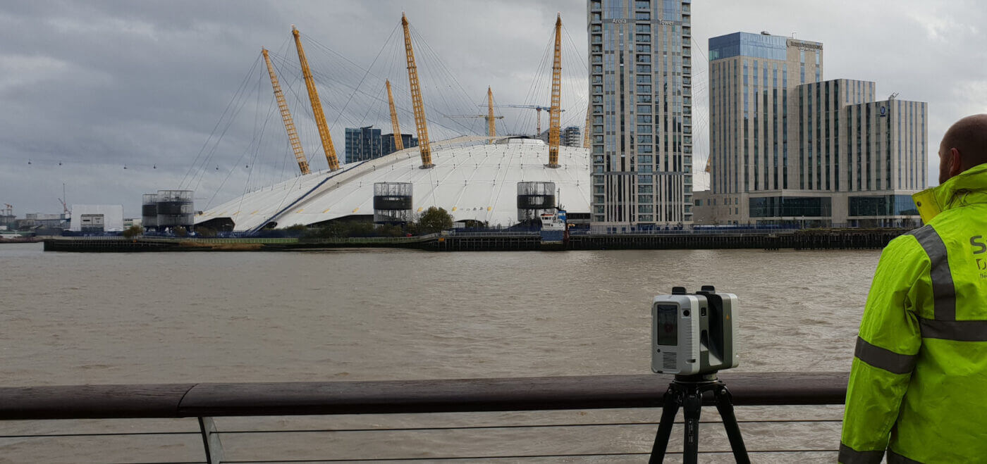
Here at Spatial Dimensions, we pride ourselves on being geomatic surveyors and laser scanning experts, delivering top-notch measured building surveys, laser scan surveys, and underground utilities surveys. We truly believe in the power of survey control to ensure accuracy, consistency, and reliability in all our projects! WHAT IS A SURVEY CONTROL? Simply put, survey control forms […]
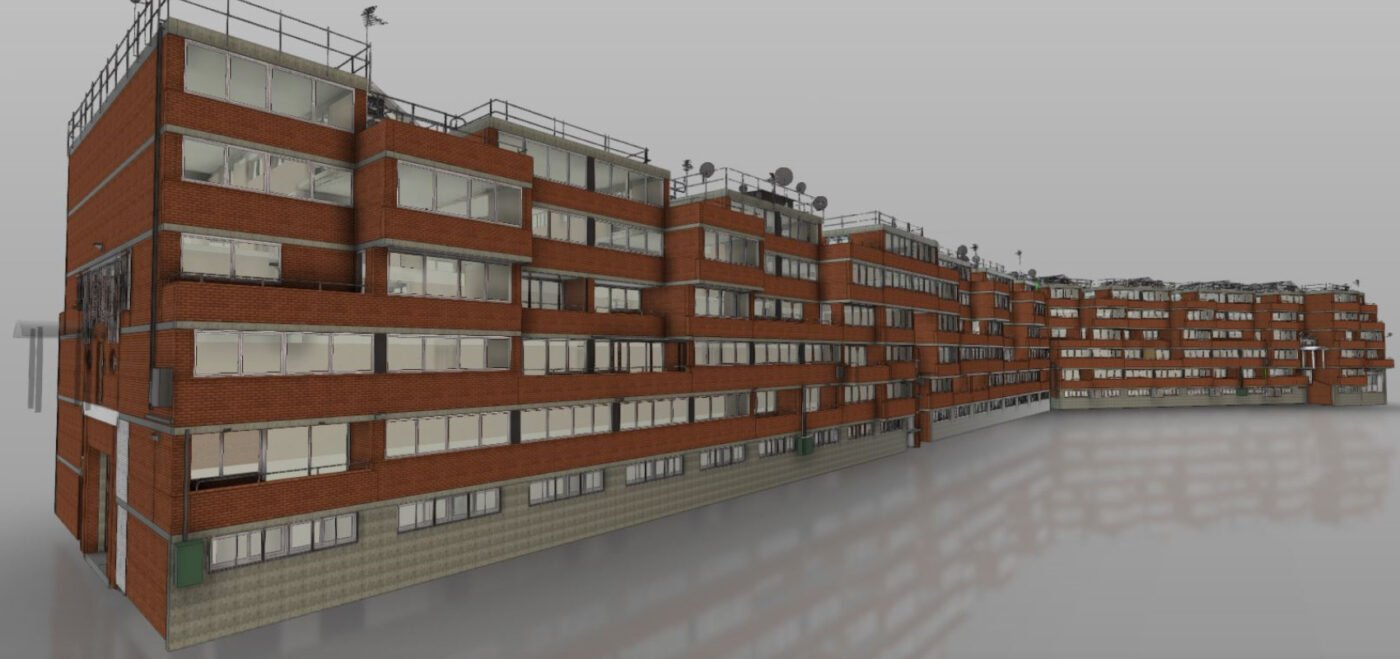
RAAC PANEL SURVEYS AND RENOVATIONS: WHERE DO WE GO FROM HERE?
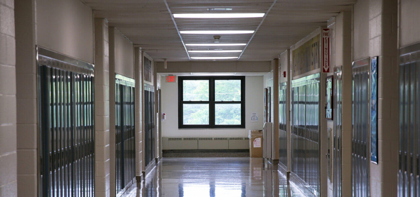
INTRODUCTION In the wake of the recent Reinforced Autoclaved Aerated Concrete (RAAC) crisis, the need for comprehensive surveys and renovation plans has never been more pressing. More than 100 schools have been instructed to evaluate buildings made with reinforced autoclaved aerated concrete (RAAC) planks. We, at Spatial Dimensions, are a leading provider of mapping and […]
EDUCATING THE NEXT GENERATION

OUTREACHING TO OUR LOCAL SCHOOLS Two of our directors spent the day at a grammar school in Kent last Friday, talking with children from 11 – 18 years of age about the benefits of choosing a career in the built environment. The event organised by education business partnerships brought over 30 employers from right across […]
SPATIAL DIMENSIONS OPENS NOTTINGHAM OFFICE
Spatial Dimensions has been providing measured building surveys, laser scanning and 3D modelling for clients across the UK since 2012. As part of continued growth plans, we are pleased to announce the opening of our new office in Pelham Street, near the Lace Market, in Nottingham. HELLO NOTTINGHAM! AS PART OF OUR CONTINUED GROWTH, WE […]