HOW CAN MEASURED SURVEYS SUPPORT SUSTAINABILITY IN ARCHITECTURE?

Measured surveys play an important role in aiding the architecture sectors‘ push towards greater sustainability. The UK government’s plan to reach net zero by 2050 is necessary. However, the goal itself has meant UK companies across the AEC sector have had to rethink their processes and goals. MAKING DECISIONS THROUGH ACCURATE DATA Reliable and accurate […]
THE DECARBONISATION OF HERITAGE BUILDINGS: HOW RETROFITTING IS SHAPING THE FUTURE

The decarbonisation and partial redesign of heritage, or historic buildings, has become a hotly debated topic in recent years. Currently, over 25% of the United Kingdom’s residential properties are over 100 years old. It’s common knowledge that heating and energy bills have shot up in recent years. The cost of living crisis, along with the […]
AN IN-DEPTH LOOK AT THE GOLDEN THREAD WITHIN THE BUILDING SAFETY ACT

The golden thread is defined as ‘The golden thread is defined as ‘the information that allows you to understand a building and the steps needed to keep both the building and people safe, now and in the future.’[1] It refers to the maintenance of accurate and reliable digital information throughout the lifecycle of a building. […]
THE ROLE OF THE RICS RESIDENTIAL RETROFIT STANDARD IN ENHANCING ENERGY EFFICIENCY WITHIN HOUSING
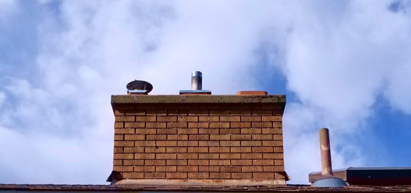
The Royal Institution of Chartered Surveyors (RICS) has long been at the forefront of promoting best practices in the construction and real estate sectors. One of their latest initiatives, the RICS Residential Retrofit Standard, is a comprehensive guide that aims to set out the principles and guidelines for retrofitting buildings to improve energy efficiency and […]
A DAY IN THE LIFE: SURVEYOR
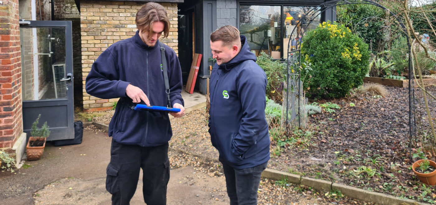
Have you ever wondered what a typical day looks like for a Geospatial surveyor? Well, strap in and get ready for a behind-the-scenes glimpse into the life of a surveyor at Spatial Dimensions! We will take you through the various tasks and activities that make up a surveyor’s day. So, let’s dive right in! WHERE […]
TRANSFORMING EDUCATIONAL SPACES THROUGH SURVEYING AND THE CONSTRUCTION INDUSTRY

INTRODUCTION In recent years, educational spaces have undergone a remarkable transformation, embracing a more forward-thinking and collaborative approach to design and construction. This shift has been driven by a desire to create spaces that are not only functional and aesthetically pleasing but also sustainable, connected, and capable of enhancing the wellbeing of those who utilise […]
HOW CAN 3D MODELS BENEFIT OUR CLIENTS?: EMBRACING THE POWER OF 3D MODELS IN SURVEYING
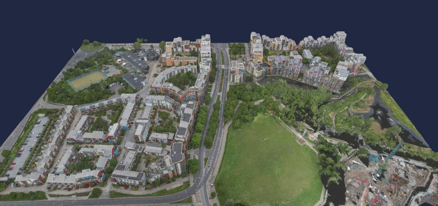
INTRODUCTION At Spatial Dimensions, we are passionate about helping our clients and helping them get their projects off to the best start possible! As surveying professionals, we understand the importance of accuracy, efficiency, and collaboration in the design, construction, and maintenance of the built environment. That’s why we have fully embraced the power of 3D […]
CASTLEFIELD VIADUCT: A WINNING COLLABORATION
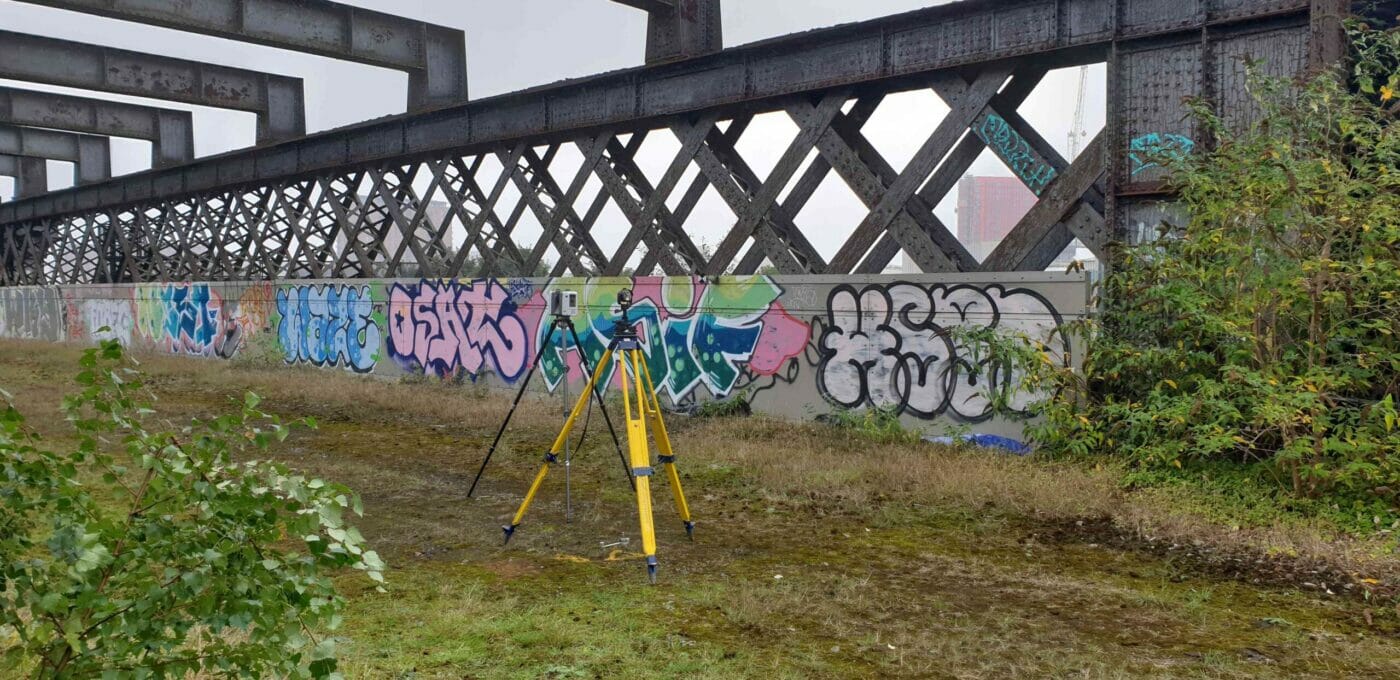
INTRODUCTION We are thrilled to share the exciting news that our clients, the National Trust and Twelve Architects, have won a prestigious Pineapple Award for their innovative project at Castlefield Viaduct in Manchester. This remarkable achievement highlights the exceptional collaboration between various teams, including Spatial Dimensions, who provided crucial measured survey and topographical survey information to inform the design. […]
WHAT IS 3D MODELLING?

SPATIAL DIMENSIONS – 3D MODELLING EXPERTS At Spatial Dimensions, we specialise in utitlising the Building Information (BIM) process. With our years of experience in 3D laser scanning, we have developed a scan-to-BIM process that delivers highly accurate as-built survey information into a BIM-ready model using industry-standard deliverables such as Revit®. This allows us to create […]