A DAY IN THE LIFE: SURVEYOR

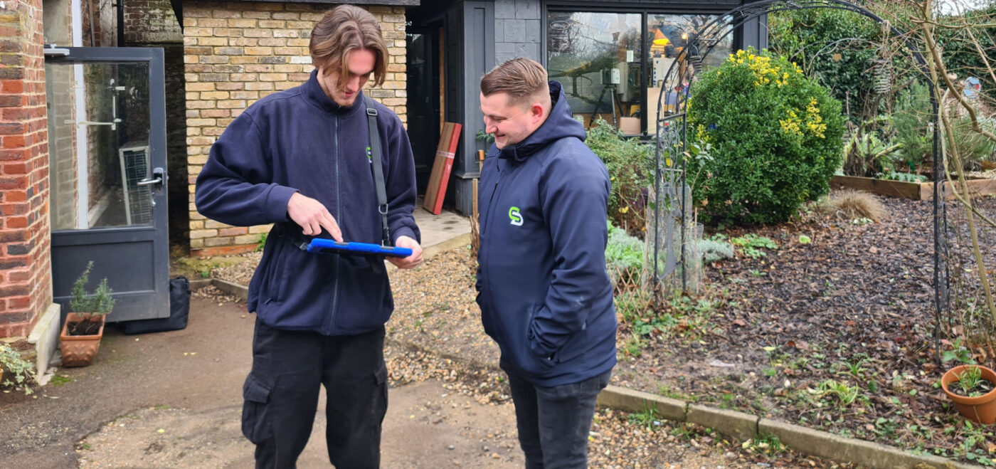
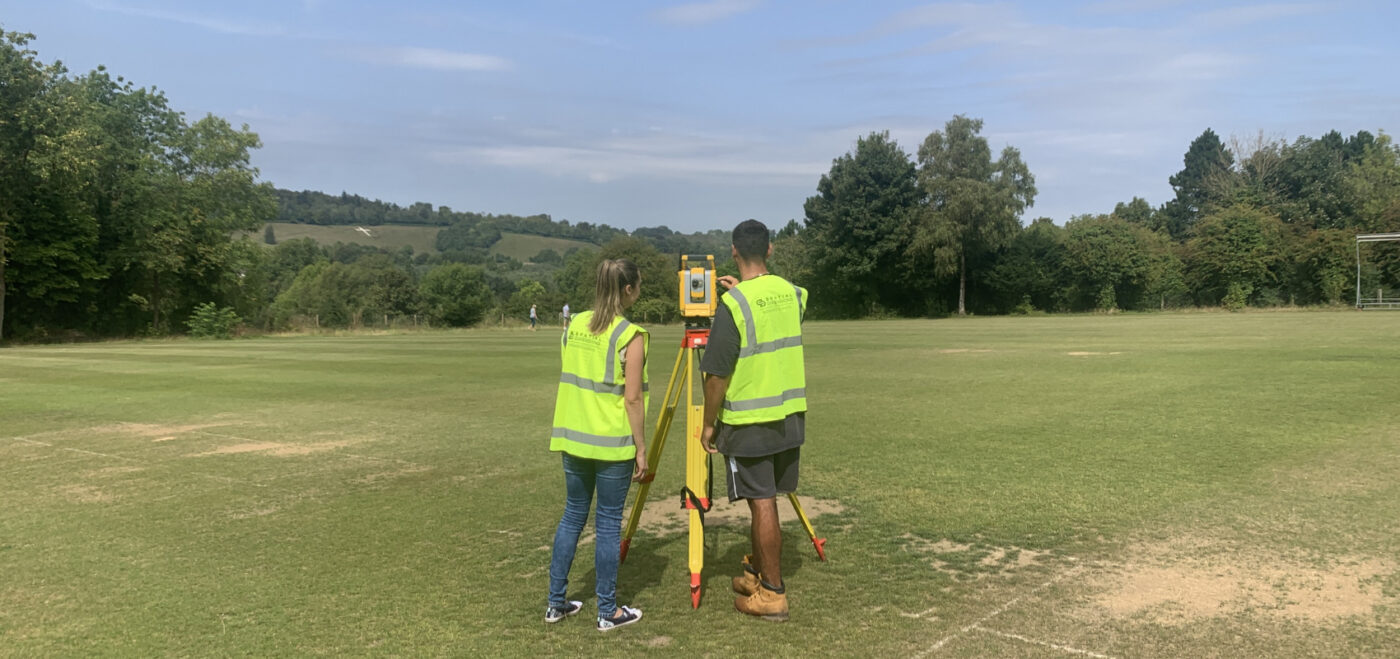
Have you ever wondered what a typical day looks like for a Geospatial surveyor? Well, strap in and get ready for a behind-the-scenes glimpse into the life of a surveyor at Spatial Dimensions! We will take you through the various tasks and activities that make up a surveyor’s day. So, let’s dive right in! WHERE […]
HOW CAN TOPOGRAPHICAL SURVEYS HELP WITH PLANNING PERMISSION?

INTRODUCTION When it comes to obtaining planning permission for construction projects, having accurate and detailed information about the land is crucial. This is where topographical surveys, also known as topo surveys, play a vital role. A topographical survey provides essential data about the physical features and contours of a site, which can greatly aid in […]
SURVEY CONTROL: ENSURING ACCURACY AND CONSISTENCY IN GEOSPATIAL SURVEYING

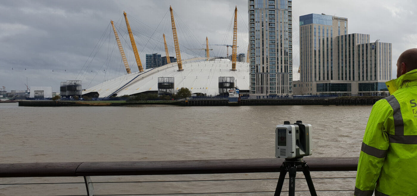
Here at Spatial Dimensions, we pride ourselves on being geomatic surveyors and laser scanning experts, delivering top-notch measured building surveys, laser scan surveys, and underground utilities surveys. We truly believe in the power of survey control to ensure accuracy, consistency, and reliability in all our projects! WHAT IS A SURVEY CONTROL? Simply put, survey control forms […]