WHAT’S DRIVING CHANGE IN EDUCATION CONSTRUCTION?

Across the UK and beyond, education construction is evolving quickly. Schools, colleges, and universities are no longer just functional buildings; they’re dynamic, flexible, and increasingly sustainable environments designed to support modern learning. This shift is creating new challenges and opportunities for architects, contractors, and developers alike. Whether working on a new build or retrofitting an […]
THE IMPORTANCE OF MEASURED SURVEYS IN THE EDUCATION SECTOR
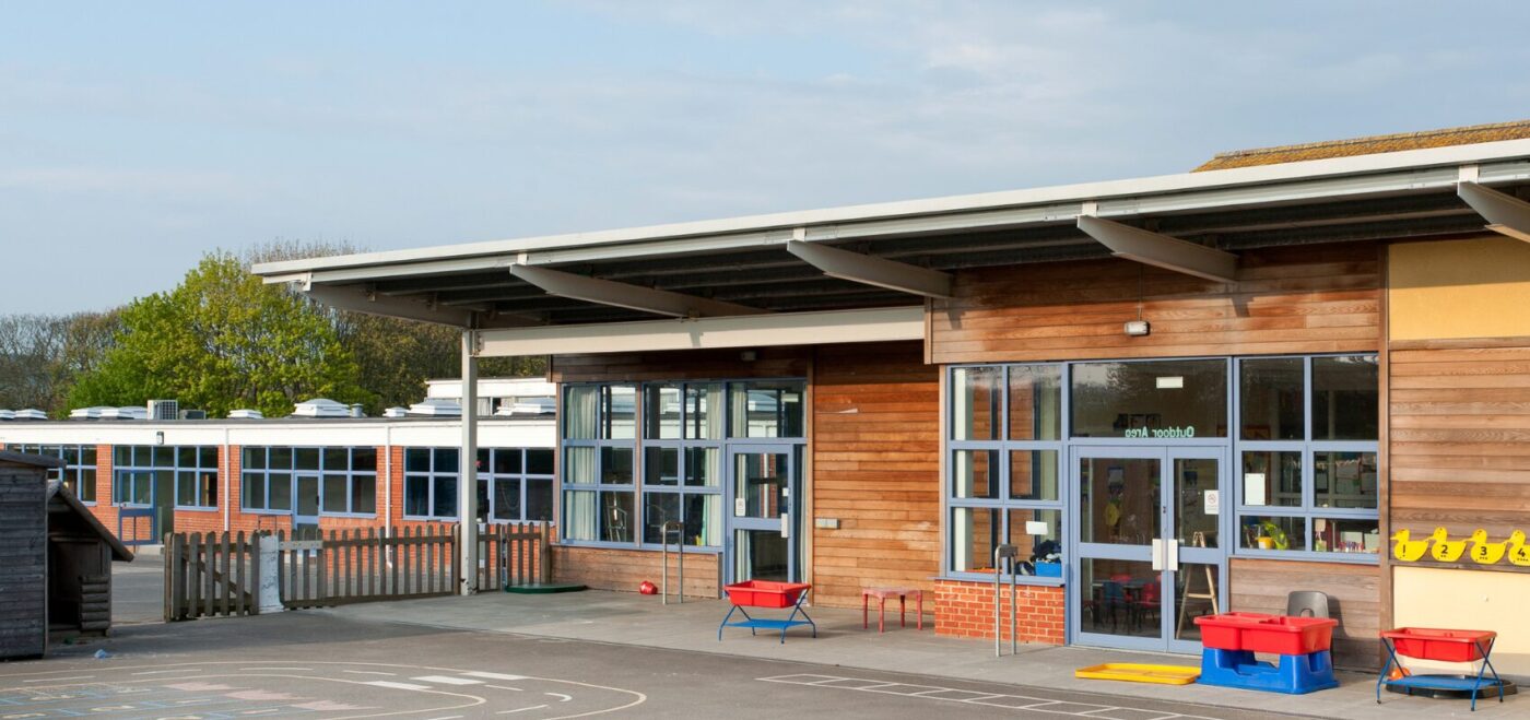
In an era where data drives decisions, measured surveys have become an indispensable tool across various sectors, and the education industry is no exception. Surveys provide the critical spatial data needed to inform effective decision-making. As educational institutions face increasing pressure to optimise their facilities, budgets, and student outcomes, the role of accurate, detailed surveys […]
CLAIRE FENWICK CYCLE TO UKREiiF FUNDRAISING

CYCLE TO UKREiiF 2025 Claire Fenwick is set to participate in the “Cycle to UKREiiF 2025” event. The event aims to raise funds for Club Peloton and its supported charitable project, Cyclists Fighting Cancer (CFC). This three-day endurance cycling challenge is scheduled from May 17th to 19th, 2025. It will see participants cycle from Newport […]
WHY IS LEVEL OF DETAIL (LOD) SO IMPORTANT?

Level of Detail (LOD) is a highly concept in construction based industries like architecture, engineering and surveying. It refers to the depth and complexity of information represented in models or drawings. You read about the definition of LOD here. DEFINING LEVEL OF DETAIL LOD describes the extent of detail included within survey data, which can […]
HOW TO SOLVE THE LONDON HOUSING CRISIS: BUILDING UPWARDS OR OUTWARDS?

THE NEED FOR LONDON HOUSING Over the last five years, London has built an average of over 37,000 homes. Nearly 70% of this housing was built for the private sector. In a recent article, the NLA highlighted a need for 74,000 houses annually. This is a massive 200% increase on its current rate. Government schemes, […]
WARM HOMES: SOCIAL HOUSING FUND (WH:SHF) WAVE 3 & IT’S LONG TERM IMPACT

The Warm Homes: Social Housing Fund (WH:SHF), formally known as The Social Decarbonisation Fund (SHDF) is a proactive government fund launched in 2021. Since the initial demonstrator £1.1 billion has been awarded across Britain. As well as The SHDF Demonstrator (2021), we saw funding in SHDF Wave 1 (2022), SHDF 2.1 (2023) and SHDF 2.2 […]
HOW CAN OUR FREE GUIDE HELP YOU TO SPECIFY A RETROFIT SURVEY?

Getting the most out of a retrofit project has never been more important. The implications for climate, affordability and profitability all depend on maximising the opportunities afforded to us. This starts with the survey. Our guide to specifying a retrofit survey gives you a breakdown of important aspects of a site visit. This is informed […]
HOW DOES LASER SCANNING BENEFIT THE OFFSITE CONSTRUCTION INDUSTRY?

In the ever-evolving construction landscape, offsite manufacturing is making significant strides as a way to push the industry forward. It’s also a valuable solution for minimizing delays and boosting precision. To put it simply, offsite construction involves crafting a building’s parts in a controlled space away from the actual build site. Today, let’s explore the […]
THE POWER OF RETROFITS: ENHANCING SUSTAINABILITY & EFFICIENCY IN UK CONSTRUCTION

INTRODUCTION In an era of increasing environmental awareness and the need for energy efficiency, retrofits have emerged as a transformative solution within the UK construction industry. By upgrading existing buildings to modern standards, retrofits offer numerous benefits that go beyond sustainability. At Spatial Dimensions, we are passionate about helping our clients create spaces that everybody […]
THE DECARBONISATION OF HERITAGE BUILDINGS: HOW RETROFITTING IS SHAPING THE FUTURE

The decarbonisation and partial redesign of heritage, or historic buildings, has become a hotly debated topic in recent years. Currently, over 25% of the United Kingdom’s residential properties are over 100 years old. It’s common knowledge that heating and energy bills have shot up in recent years. The cost of living crisis, along with the […]