 Skip to content
 SUSTAINABLE HEALTHCARE: GREEN BUILDING TRENDS IN HOSPITAL DESIGN
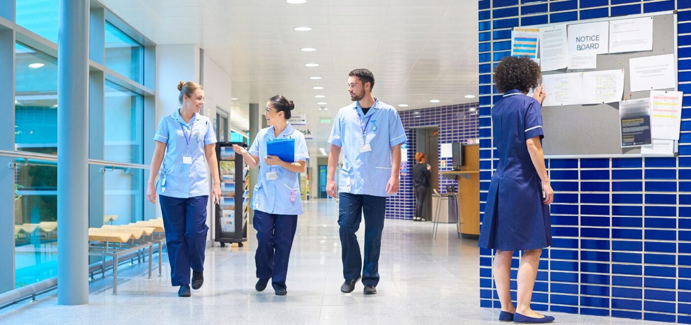
As the UK works toward a net-zero future, the healthcare sector has a key role in reducing the built environment’s environmental impact. The NHS is targeting net-zero emissions by 2040. New hospital construction projects are already underway through the government’s New Hospital Programme. The push for sustainable healthcare design is urgent and essential. At Spatial […]
WHAT’S DRIVING CHANGE IN EDUCATION CONSTRUCTION?
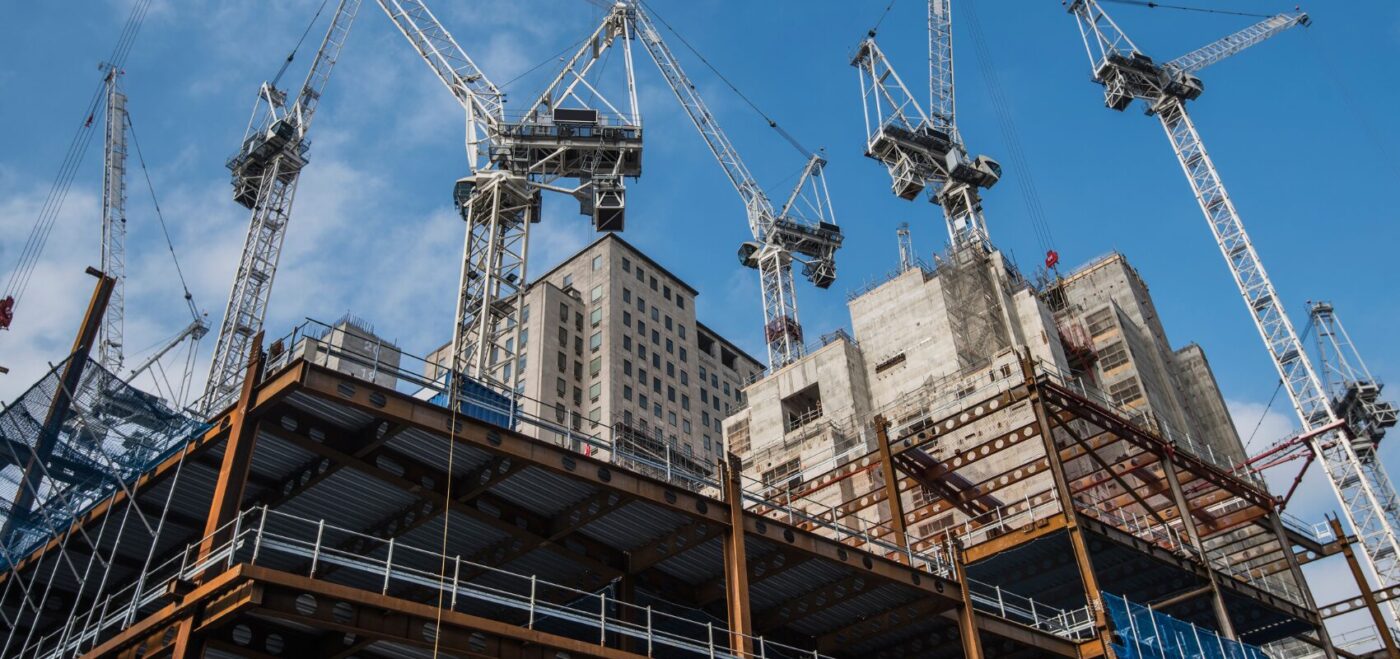
Across the UK and beyond, education construction is evolving quickly. Schools, colleges, and universities are no longer just functional buildings; they’re dynamic, flexible, and increasingly sustainable environments designed to support modern learning. This shift is creating new challenges and opportunities for architects, contractors, and developers alike. Whether working on a new build or retrofitting an […]
THE IMPORTANCE OF MEASURED SURVEYS IN THE EDUCATION SECTOR
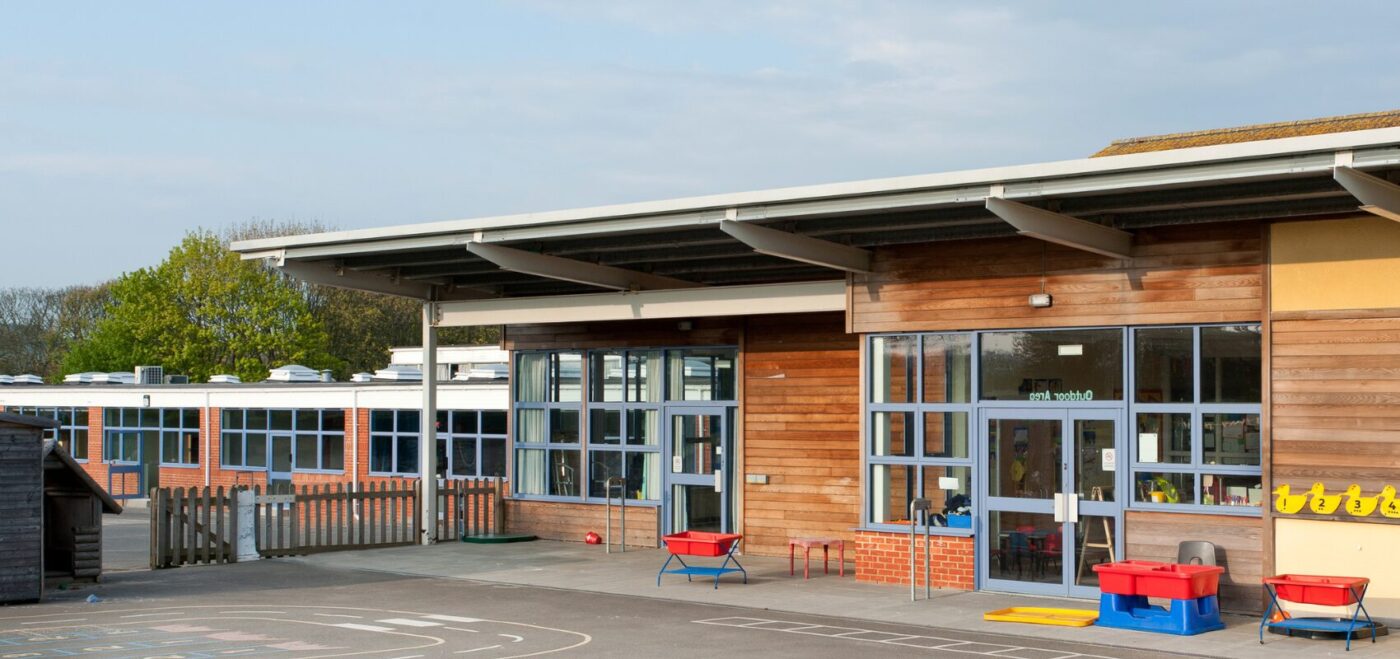
In an era where data drives decisions, measured surveys have become an indispensable tool across various sectors, and the education industry is no exception. Surveys provide the critical spatial data needed to inform effective decision-making. As educational institutions face increasing pressure to optimise their facilities, budgets, and student outcomes, the role of accurate, detailed surveys […]
WHAT IS 3D MODELLING?

SPATIAL DIMENSIONS – 3D MODELLING EXPERTS At Spatial Dimensions, we specialise in utitlising the Building Information (BIM) process. With our years of experience in 3D laser scanning, we have developed a scan-to-BIM process that delivers highly accurate as-built survey information into a BIM-ready model using industry-standard deliverables such as Revit®. This allows us to create […]